Ireland

Waterford Greenway: Ballyvoyle Tunnel

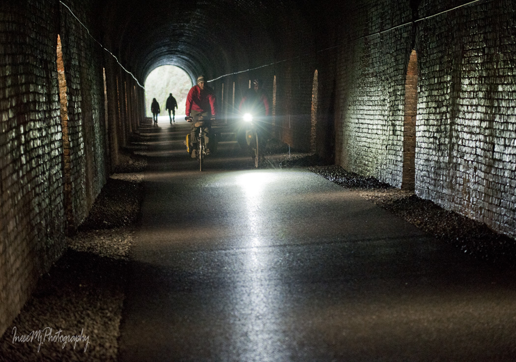
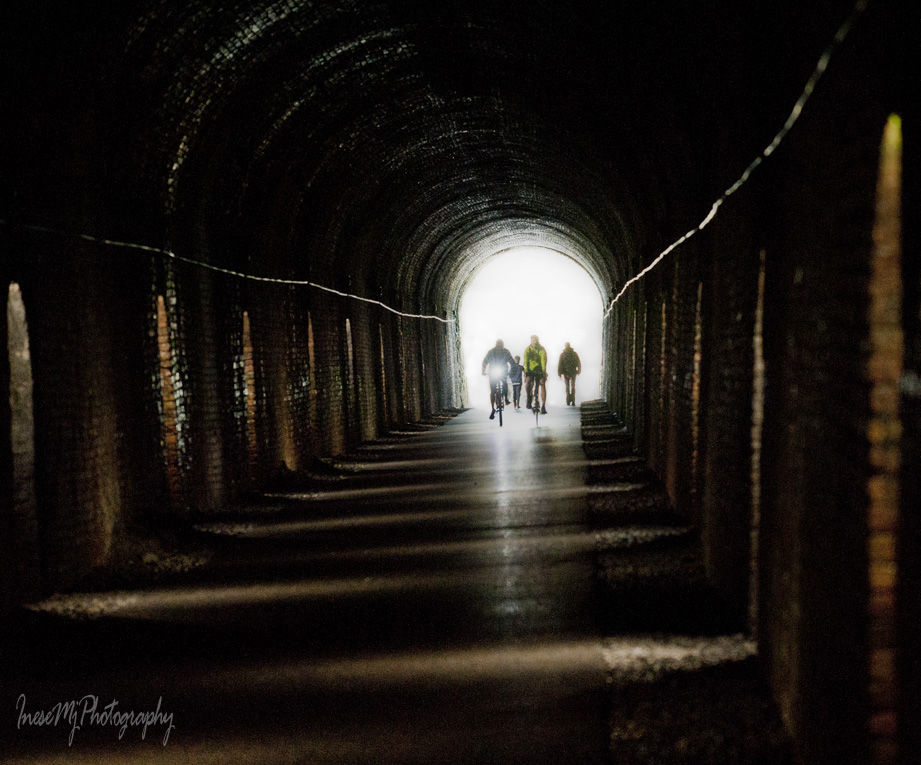
A quarter of a mile long Durrow ( Ballyvoyle) Tunnel is one of the most iconic features of the Greenway. It looks as perfect as the day it was built in 1878. I can only imagine how exciting it was to travel through the tunnel by train, at a slow speed, with the eerie sound echoing off the tunnel walls.

Once a habitat of bats, the tunnel is a busy place these days.

Bike hire

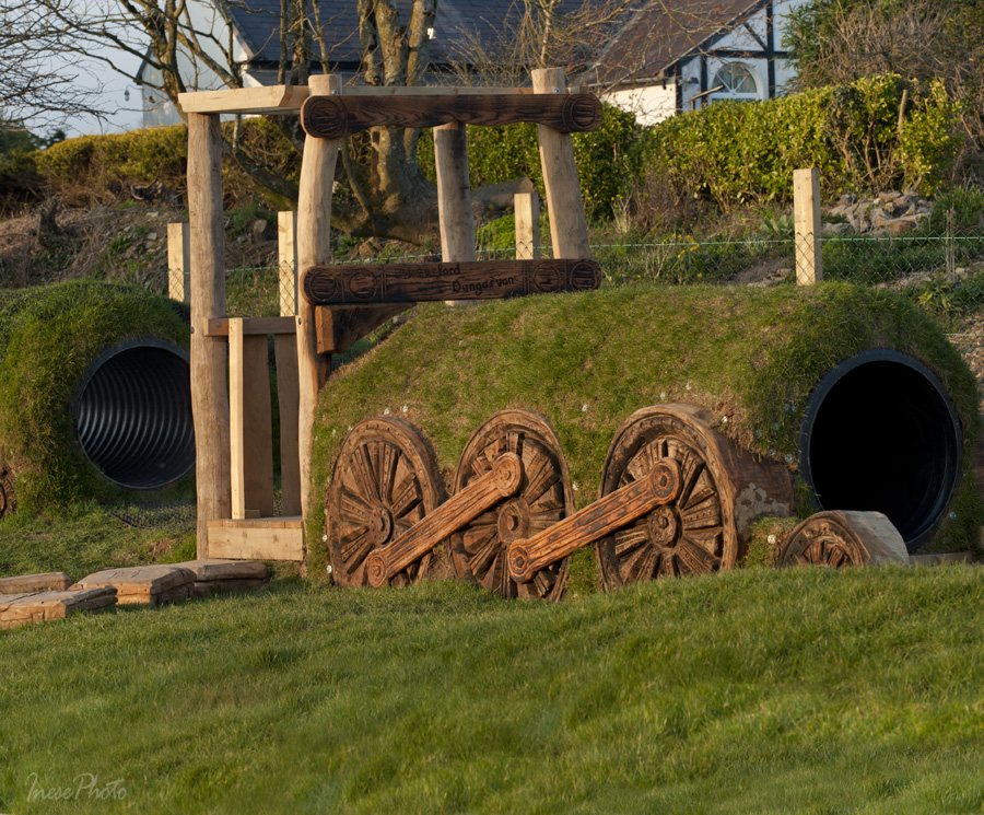
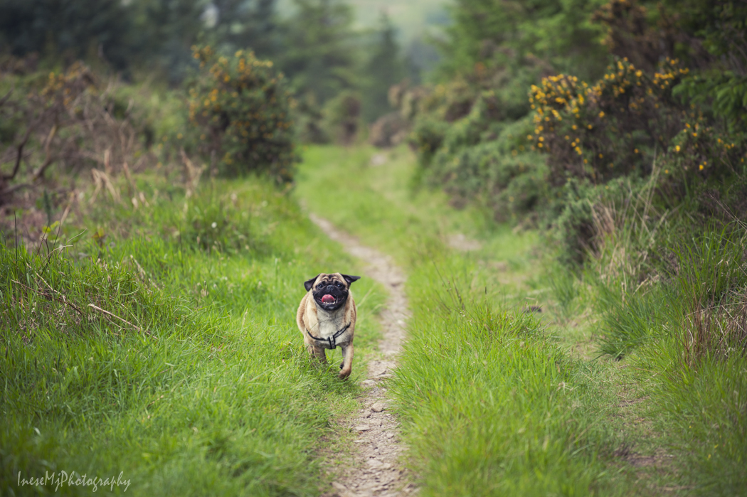
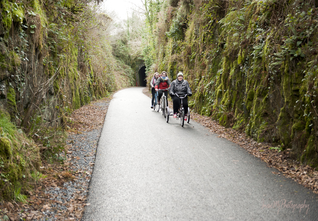
I love this tricycle. It looks very comfortable, especially if you want to stop and take a picture.

Someone has a sense of humor. Notice how far is the other end of the tunnel.

Waterford Greenway

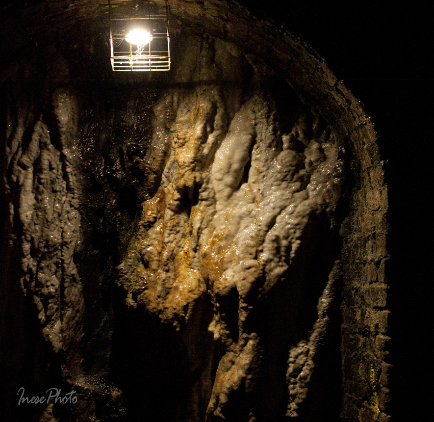
It seems like the walls have openings, but in fact these are only wall niches with lights.

Waterford Greenway

The tunnel is lined with bricks.

Waterford Greenway

Not too successful photograph of some stalagmites growing in the niche.

Durrow tunnel

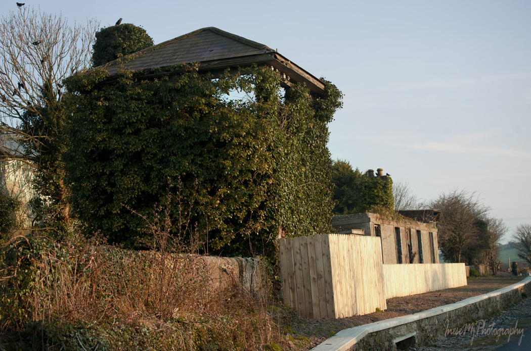
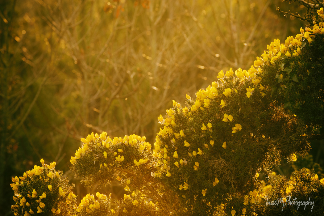
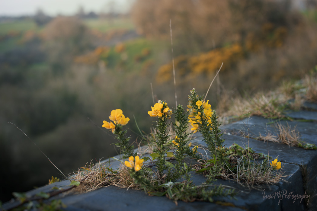
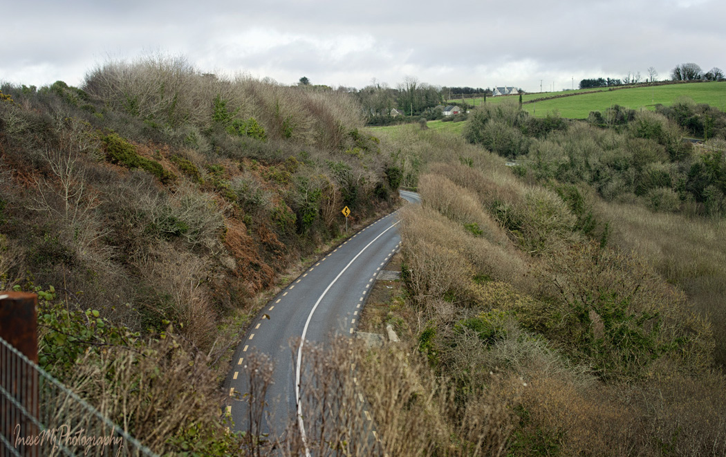
Just a few years ago this area was overgrown and flooded in some places.

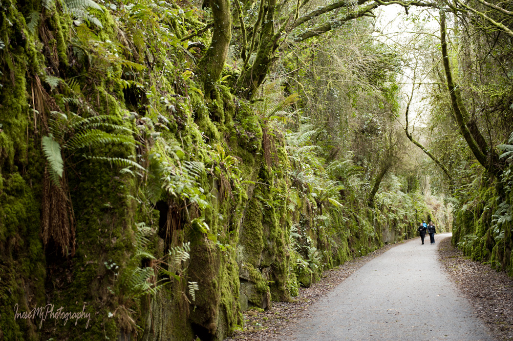
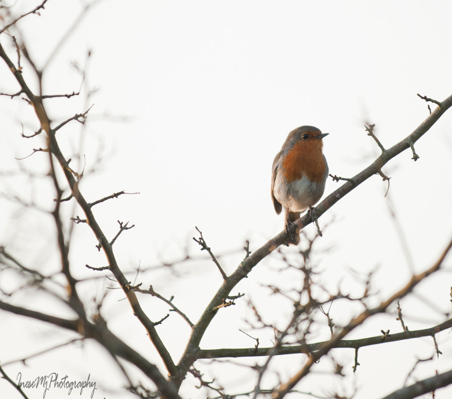
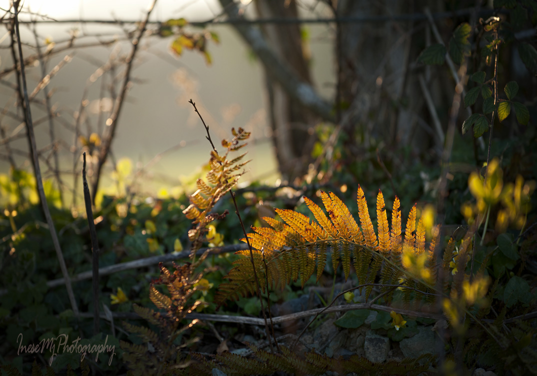
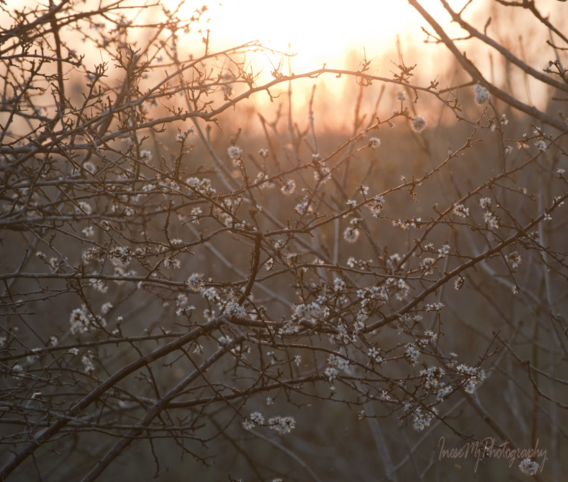
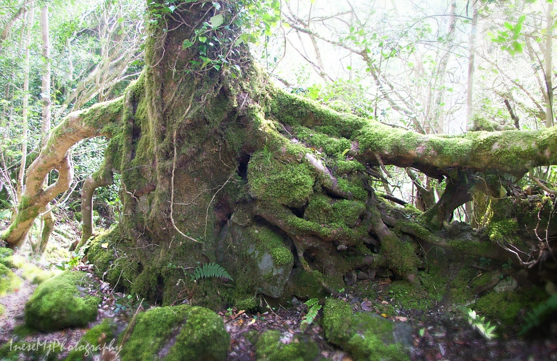
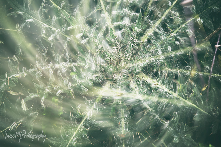
An assortment of ferns and moss decorates the stone wall. Further down the path the wild plants are getting ready for spring ( photographs were taken in February)

double_exposure

double_exposure

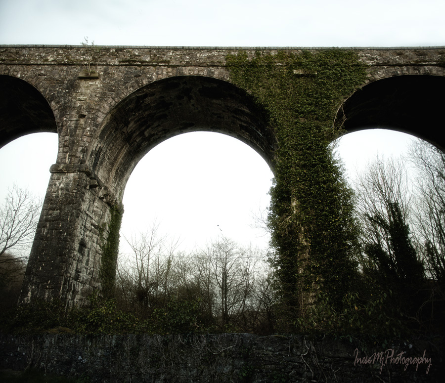
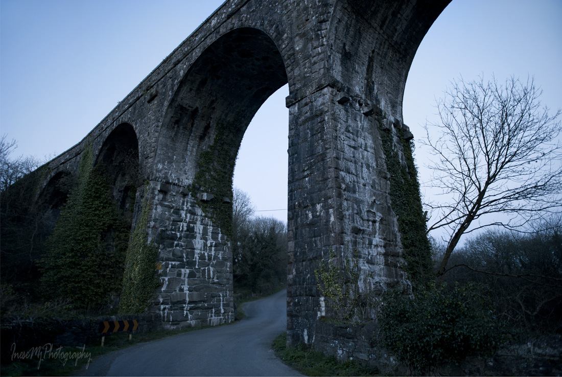
We are approaching Ballyvoyle viaduct – the last one. There are three viaducts and eleven bridges on the railway. Ballyvoyle viaduct was constructed in 1878, blown up in 1922, and after a second thought rebuilt in 1924. In this blog you can find some bits of history of the viaduct.

The viaduct spans River Dalligan, and the barriers are almost non-existent, if you ask me 😉

Waterford Greenway

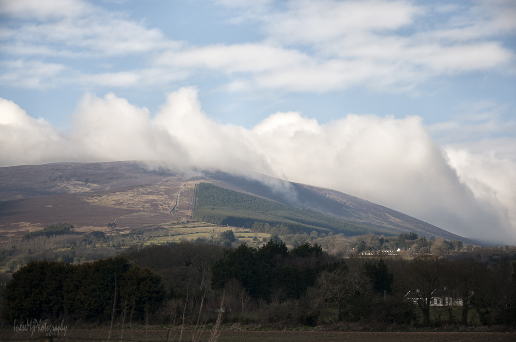
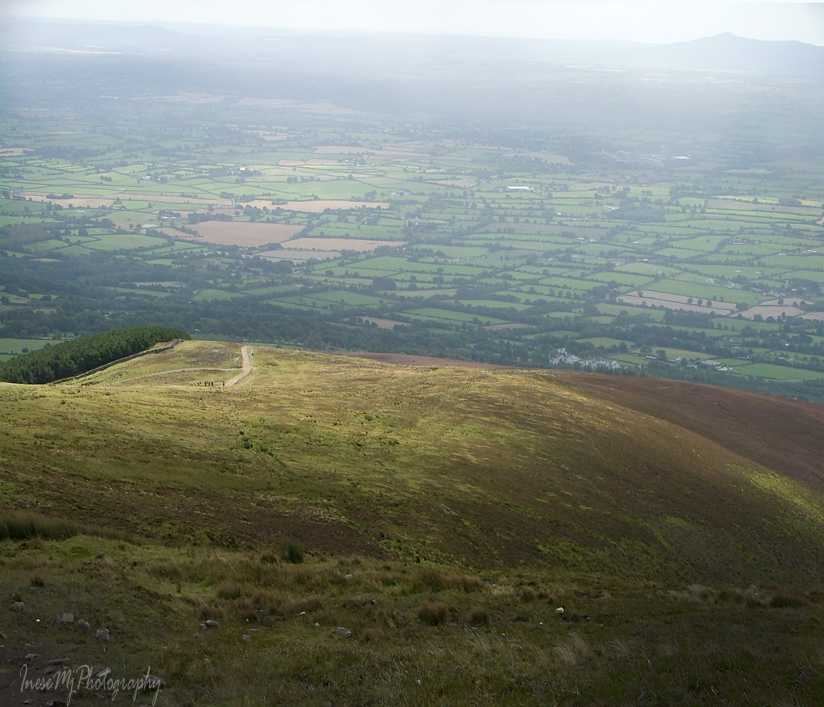
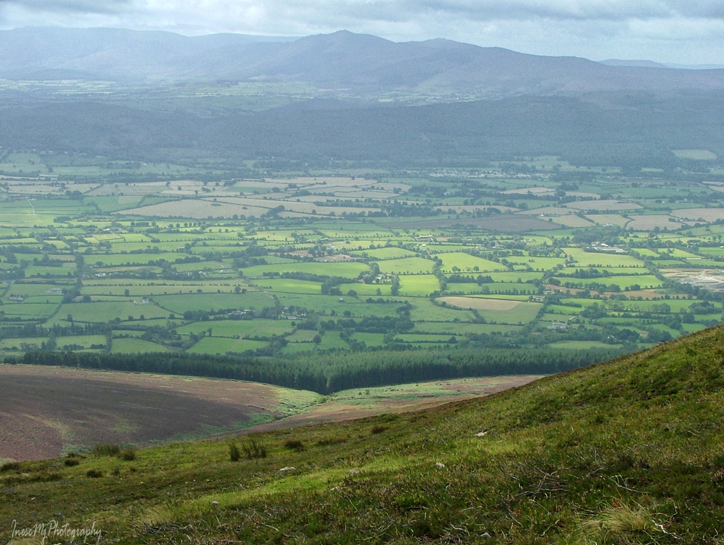
Plenty to see from here.

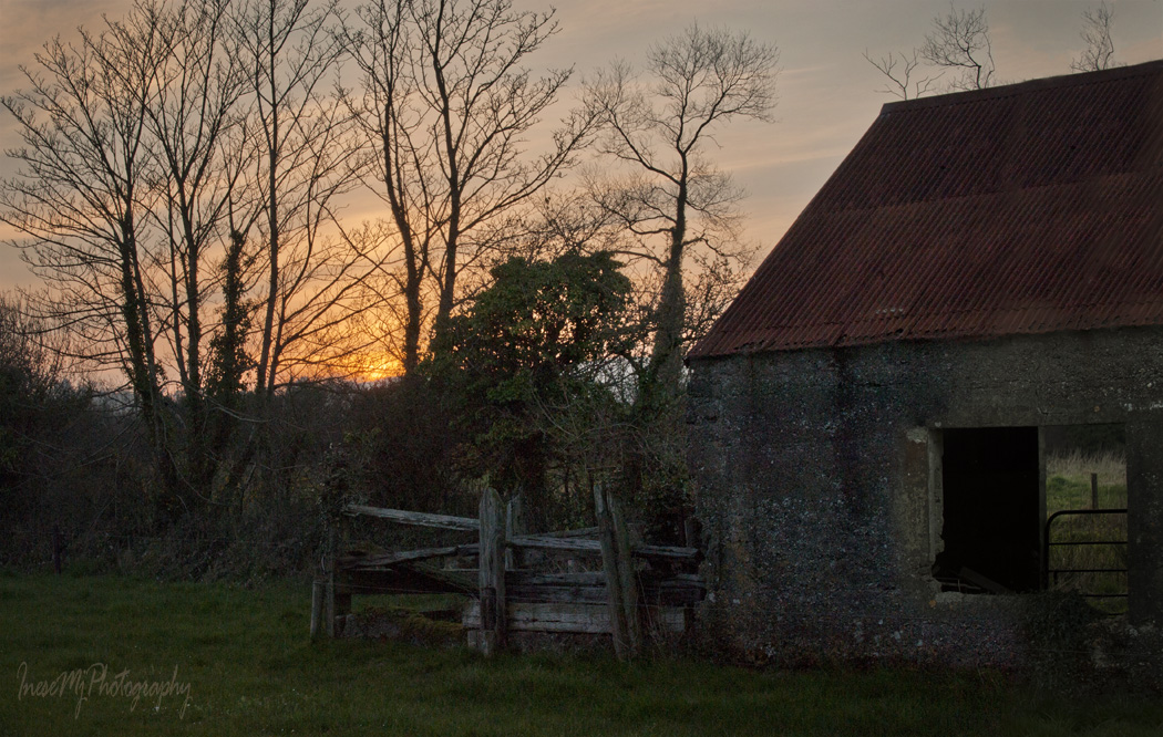
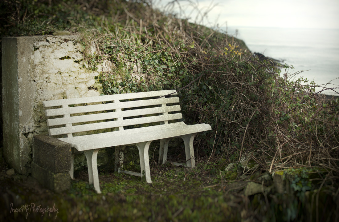
I stepped off the path to take a picture of a white bench that stands at a distance from the farm house. In the photograph below you see a lovely view from the bench.

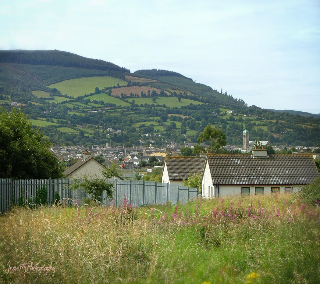
Clonea Beach. I can see my favorite chipper out there, over a mile away.

In December 2015 a group of Syrian refugees were settled in the luxury Clonea Strand Hotel ( closed for the season). It was a very strange decision of the Government since there are no food stores around – the closest store is four miles away in Dungarvan. Actually, there is nothing else in winter but the sea and the beach. I don’t know what the story is, and where they are now. I haven’t been to Clonea for years.

clonea

It is getting dark. I turn around and walk back to the car park. I take my time walking through the tunnel again – want to spot a bat, but there are no bats.

Waterford Greenway

Waterford Greenway

Waterford Greenway

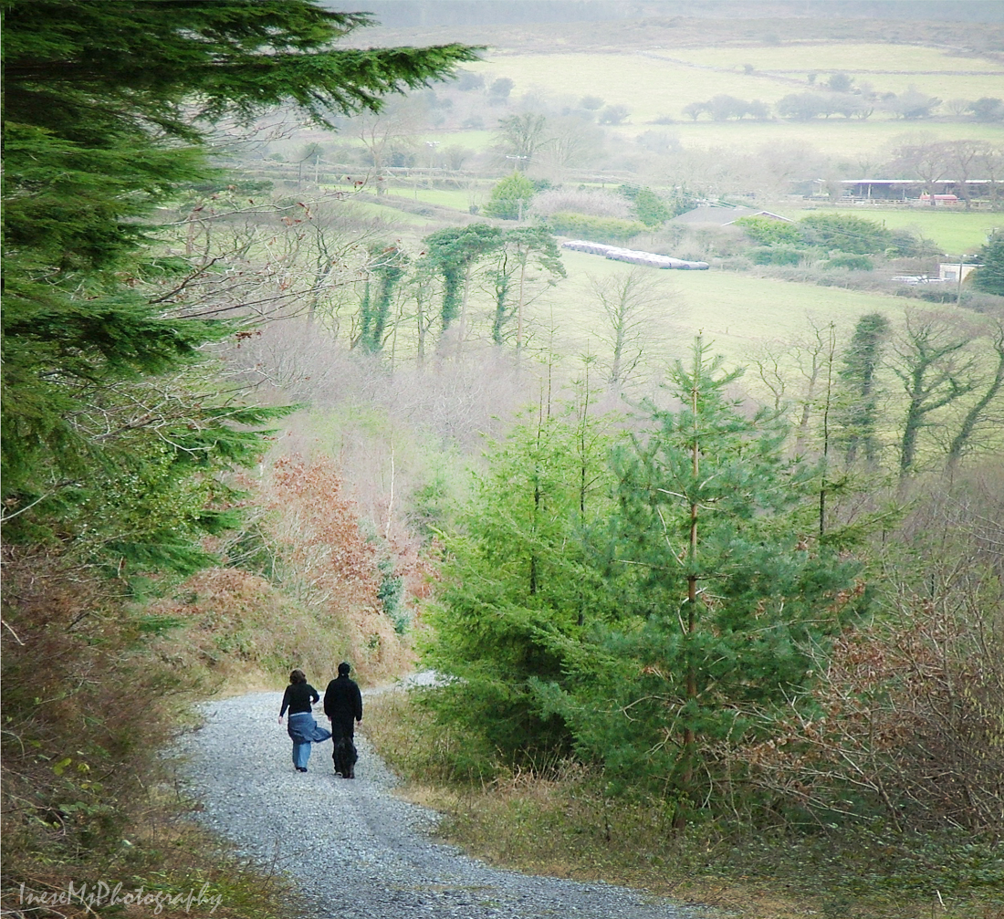
Thank you for your company – it is more fun to walk through a dark tunnel with a friend at your side.

inesemjphotography Have a wonderful weekend!


Durrow viaduct after the sunset

robin

I put up this blog post on March 27, almost two months later than the other Greenway posts. I knew that one beautiful stretch was left unexplored, and it was bugging me. That day I was feeling unwell and decided to do something silly – like leaving home shortly before the sunset and heading west. When I turned towards Stradbally, to my surprise the road was busy as never before. At the Greenway car park two uniformed men were trying to regulate the traffic. What could have happened on the quiet country road? Trucks, buses – why they were there? I checked the news and learned that a small airplane crashed 200m off the Cork road, and the traffic was diverted.

I parked and walked into the sunset. Cheerful little Robin, painted pink by the setting sun, greeted me with his song.

Waterford Greenway

Soon I reached the old Durrow/Stradbally station, now a home to a noisy family of Jackdaws, and probably, some ghosts.

Waterford greenway

There I also found a model of a tunnel we will visit next week. Local artists John Hayes and James ‘Joxer’ Doyle designed and created two playgrounds along the Greenway.

Waterford Greenway

As I kept walking, the beautiful golden light painted the evening.

Waterford Greenway

It started getting darker. Telephone pole from my childhood emerged from the bushes.

Waterford Greenway

Finally I stood on the top of a little brother of the Kilmacthomas Viaduct – the seven arch Durrow Viaduct built in 1878.

Durrow Viaduct

It doesn’t look impressive – just another bridge.

Durrow Viaduct

As the sun went down I had to hurry back. I wanted to take a picture of the viaduct from the road beneath.

The sun set the sky on fire one more time.

I stop to take a picture of an old shed that looks quite spectacular. In the 1940’s- 1950’s the shed used to be a dance hall run by Willie Cronin, and later it was a carpenter’s workshop.

The hawthorn trees don’t look friendly in twilight.

Finally I drove to the viaduct, parked next to someone’s driveway, and walked towards the sound of gurgling stream. A special thing about this viaduct is that it spans a road, a river, and a bridge across the river.

durrow viaduct

River Tay, squeezed between the rivers Mahon and Dalligan, is rushing to the Celtic Sea and joins the big waters in Stradbally Cove. I got a word that raw sewage flows into the river in Stradbally. I still love the Cove and think that it is a great place to visit, but I never take my shoes off when walking in the sand.

Blue twilight and slow shutter speed add a bit of mystery.

river tay

I finished photographing the river and turned back. My initial plan was to walk to the other side and check out an abandoned house I spotted from the top of the viaduct, but after seeing the evil-looking tree peeking from behind the stone pillar, I thought I was fine and ready to run back to my car, asap.

Durrow Viaduct

My last blog post about the Waterford Greenway is out next weekend.

inesemjphotography Be well!

Cannon Hill

cannon hill

We are rounding up our calorie-burning Comeragh hike. Before we are done, I want to share this post about a small but very important part of Comeragh Mountains –  Cannon Hill,  one of beloved places  of Clonmel people  ( I have already written about Carey Castle, St. Patrick’s Well and some other local favorites).

We take the left turn up a narrow road just before the Carey Castle sign, and start our walk along the side of Cannon Hill. There are two roads, the upper one is wider, and there is a nice space for parking. A couple of years ago I came here to assess the old farmhouse ruins for a photo session. I had only one hour, but there was the man with his dogs, and he started a conversation that lasted 40 minutes 🙂 He introduced himself as Richard, and it came out he is a father-in-law of my former colleague, but the most important, he is Clonmel history enthusiast, it is why I forgot about time and listened to the stories about his ancestors and historical events I have never heard about before.  The funnies part is that recently I came across an article where another man mentioned his long conversation with Richard that took place in exactly the same spot 🙂 So, if you want to learn more about history of  Clonmel, hang around Cannon Hill.

The best part of Cannon Hill is the views we enjoy as we walk.

2015-02-555

Cannon Hill

This is Kilmacomma Hill. It looks like a huge green sleeping bear. In background you see Galtee mountains some 20 miles away.

The fertile land between Comeragh, Galtee and Knockmealdown Mountains is traditionally called Golden Vale.

135

Knockmealdown mountains to the west of the Comeraghs.

Cannon Hill is a great place to walk a dog. Or two. This is us returning from that photo session.

Cannon Hill

The ruins of an old farmhouse are easy accessible in the winter time, but overgrown with the weeds in summer.

I already shared this photograph as a part of my project two years ago.

It takes about half an hour to get here from the car park, and even our dogs are tired.

This is another walk around the Cannon Hill, and another model 🙂

Local fauna can include Deer, but my only picture of a fawn sleeping in the grass is lost in a hard drive crash. I photographed this herd of cows, and discovered the fawn in background. All that is left from that shoot is this big lad with gorgeous albino eyelashes.

And of course, there are sheep. It is Ireland 🙂

It takes a couple of hours to explore all the paths.

Cannon Hill

These are two versions of the same song – different accent ;). Tom Healy and Brian Coll sing about all the places I have mentioned in my blog, so you can learn how to pronounce the Irish names 🙂


Thank you for taking this simple local walk. Treasures are often closer than we know.

www.inesemjphotography.com  Have a wonderful weekend!


Slievenamon

slievenamon

Before Christmas, I want to squeeze in a blog about the most beautiful mountain in Co. Tipperary – Sliabh na mBan, or Slievenamon. In the ancient times, when the slopes of the mountain were covered with forest of hazel, beech, oak and alder, young giant warrior Fionn mac Cumhaill went out hunting deer. It is when he met Sadhbh, the daughter of the magician Dearg,  in a form of a white doe. Sadhbh was turned into a deer by a druid Fear Doirich – Dark Man – whom she refused to marry.

The forest is long gone, but the magic remains. Slievenamon has a troubled history, and who knows, may be the Dark Man is to blame.

When driving from Clonmel to Waterford and back, Slievenamon is always in your sight. Seasons change, but Slievenamon doesn’t.

slievenamon

slievenamon

The only change is an occasional layer of snow on the top.

There are a few cute little villages at the foot of Slievenamon. Kilcash is the one from where Slievenamon can be climbed. Another place to visit in Kilcash is Medieval church and graveyard, and the ruins of the Butler Castle behind it.

kilcash church

kilcash graveyard

Standing in the graveyard, I look at the path I am going to take to reach the summit.

slievenamon

For a fit local resident climbing Slievenamon is a piece of cake, and it takes less than 50 minutes ( elevation 2,365 ft, climb 1500 ft ). People walk there with their dogs.  I have been to the summit only once, when I was much younger. Since then I was only able to make it to the stone wall half way to the summit. The good news – you won’t get lost because there is a distinct track.

y2013-006-19-064

slievenamon

slievenamon

slievenamon

Waterford bridge is 40 km away, but I can clearly see it.

Closer to the summit, it is cold and misty.

slievenamon

The ‘false summit’ – rather flat, with a pile of rocks (cairn) in the middle ( I am standing on it). Some people pick up a rock at the foot of the mountain and take it to the cairn to add to the pile. I was barely able to take myself up there… The cairn marks an entrance to the underworld, they say. Who knows. A less distinct path takes me a few meters higher to the real summit. Unfortunately I have lost the photograph. There is a waist-high standing stone up there.

slievenamon

On the other side of the valley there are beautiful Comeragh Mountains. I will write about them in January.

slievenamon

Always nice to see  a friendly face. Walking down the mountain does not take that long.

yy2013-175_1

And here is a famous Irish song Slievenamon for you to enjoy.

I share a link to the blog Walking in Sonoma County…mostly , and also to La Audacia de Aquiles mythology blog. Please visit and follow 🙂 I will be back with more historical facts and myths about this beautiful mountain.

www.inesemjphotography.comHave a wonderful weekend!

Saltee Island: off to see the Puffins

Kilmore Quay

It is the time of the year when I go to see the Puffins. I have written four blogs about Saltee Islands, and I don’t want to repeat myself writing about the birds and their biology again. If you love sea birds, you might be interested in reading the following links to my previous posts:

Saltee Islands, a place where birds rule

Golden faces, silver eyes and blue eyelids.

Saltee Islands – treasure bigger than money -part 1

Saltee Islands – treasure bigger than money -part 2

In the opening picture, you see the Kilmore Quay port. The red boat is our trusted An Crosán, or Razorbill in Gaelic.

I have a half an hour before the boarding to walk around and take some pictures of the fishing gear.

fishing gear fishing gear

The weather is mild and the sea is smooth. With the back wind, we make the trip in 15 minutes.

Saltee trip

A group of photographers are waiting for the boat to pick them up – they came to the island before the sunrise. It is what I am going to do next year.

Great Saltee

We walk up the steps, pass the owners house, walk to the throne and turn left. It is where I always start my walk to the Gannet cliff and back. This time I decided to explore some other parts of the island too. Later I will share with you what came out of that idea.

Great Saltee

My first Puffins this year! These birds are too young to start a family, so they are hanging out with their neighbours.

puffin

When I see Puffins, there is no force in the whole Universe that could stop me from taking pictures! I don’t own a telephoto lens, so I have to get as close as I can to the birds. For that, I sit down and slowly slide to the cliff edge, inch by inch.

puffin

saltee 1 070 saltee 1 099_1

This face is one of the funniest and sweetest faces on Earth. A grey eye looks at me knowingly and intelligently. ‘A human with a camera, another one? Want me to stay still do you?

puffin

The water changes color as the sun pops out of the clouds, all the shades of cobalt blue, turquoise  and aquamarine twinkling like precious stones.

Great Saltee

We are slowly moving along the cliff edge in the direction of the Gannet nesting site, taking photographs on the way. I like this cove and always take a picture. The cliff drops down to the ocean almost vertically.

saltee islands

Another puffin, another picture. We keep to the path away from the cliff edge and begin our climb to the highest point of the island.

puffin

On the left from the path, all is green and looks like lush grass. It is not. Most of the island is covered with ferns that can grow up to the height of 4.5 f. Between the ferns, there grow briars and brambles of all sorts. I will tell you more about that part of the island later.

Great Saltee

From here, the path climbs through the ferns up the hill almost vertically. A tiny rabbit, not bigger than my fist, springs from under my feet.

The real view from the summit is much more beautiful than any photograph I have ever seen.

Great Saltee

We turn around and resume our hike to the Gannet Cliff. The sight of thousands of nesting birds and the sound of their voices is one of the Nature’s  most magnificent  spectacles. My heart is beating in anticipation as I walk closer to the cliff edge where we start our descent down to the Gannet colony.

More to follow. Thank you for loving the Puffins! 😉

inese_mj_photography Have a wonderful weekend!