Co Tipperary

Blue Way of County Tipperary II

We continue from Dove Hill Norman Tower, and I hope we make it to Poulakerry Tower House. The season is spring.

We see a glimpse of several ruins as we walk. River Suir was the main access route, and has been used by the early Christians, the Vikings, the Normans and everyone else over the centuries. The four-storey Dove Hill tower house has been changing keepers since it was erected in the 14th century. The Earl of Ormond is listed as the proprietor in 1640 when the tower was described as “a small castle wanting repaire“.

This is a closer look. The ivy-clad ruin stands right across the road from the Dove Hill Irish Design Centre.

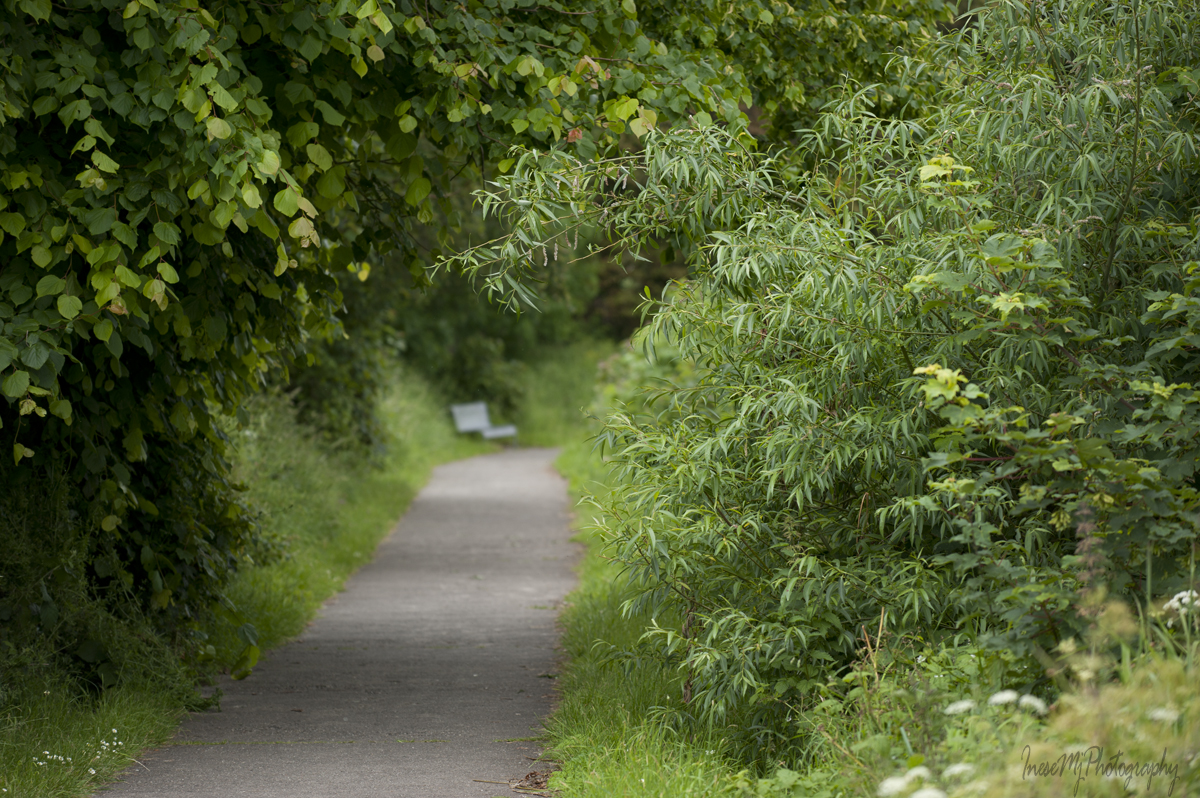
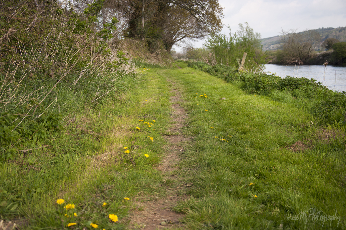
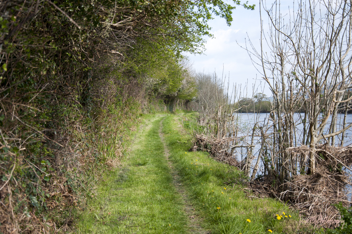
Suir Blueway was officially launched in May 2019 and the path was paved in 2018. Before that the path looked like in the pictures below, and I loved it much more than its paved version. In fact, it makes me sad when I see all that paving, drainage or tree cutting in the wildlife habitats intended to accommodate our selfish wants. There are very little habitats left in Ireland, and very little wildlife.

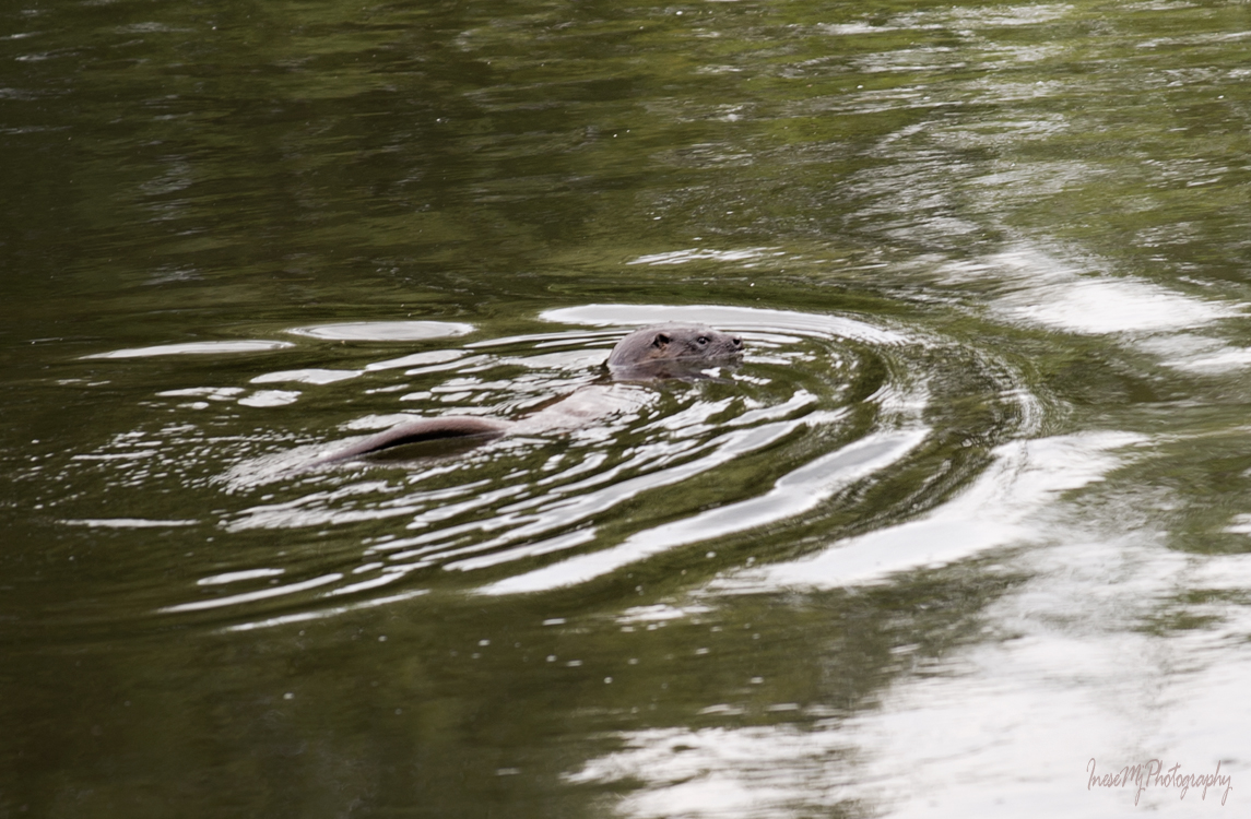
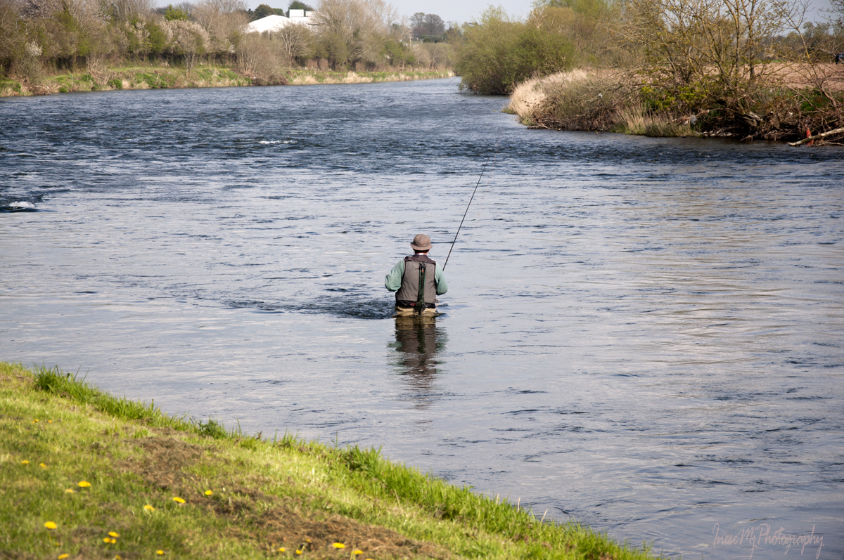
Now and then we see an angler. River Suir is still rich in salmon and has the distinction of producing Ireland’s record rod-caught salmon that weighed 57 lb ( 25.9 kg) and was taken on a fly by Michael Maher in 1874. .

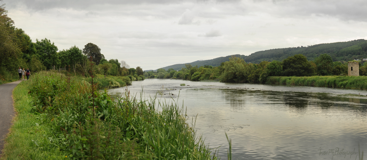
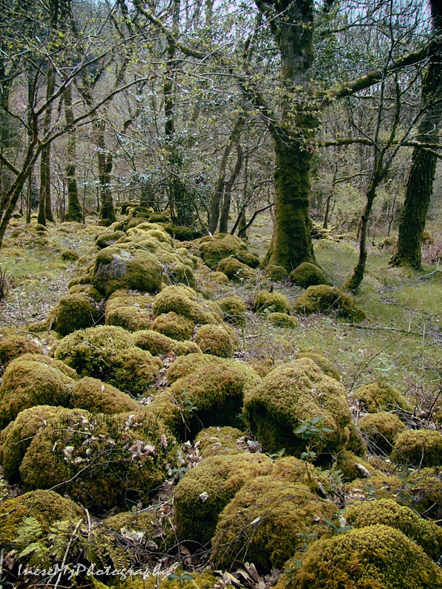
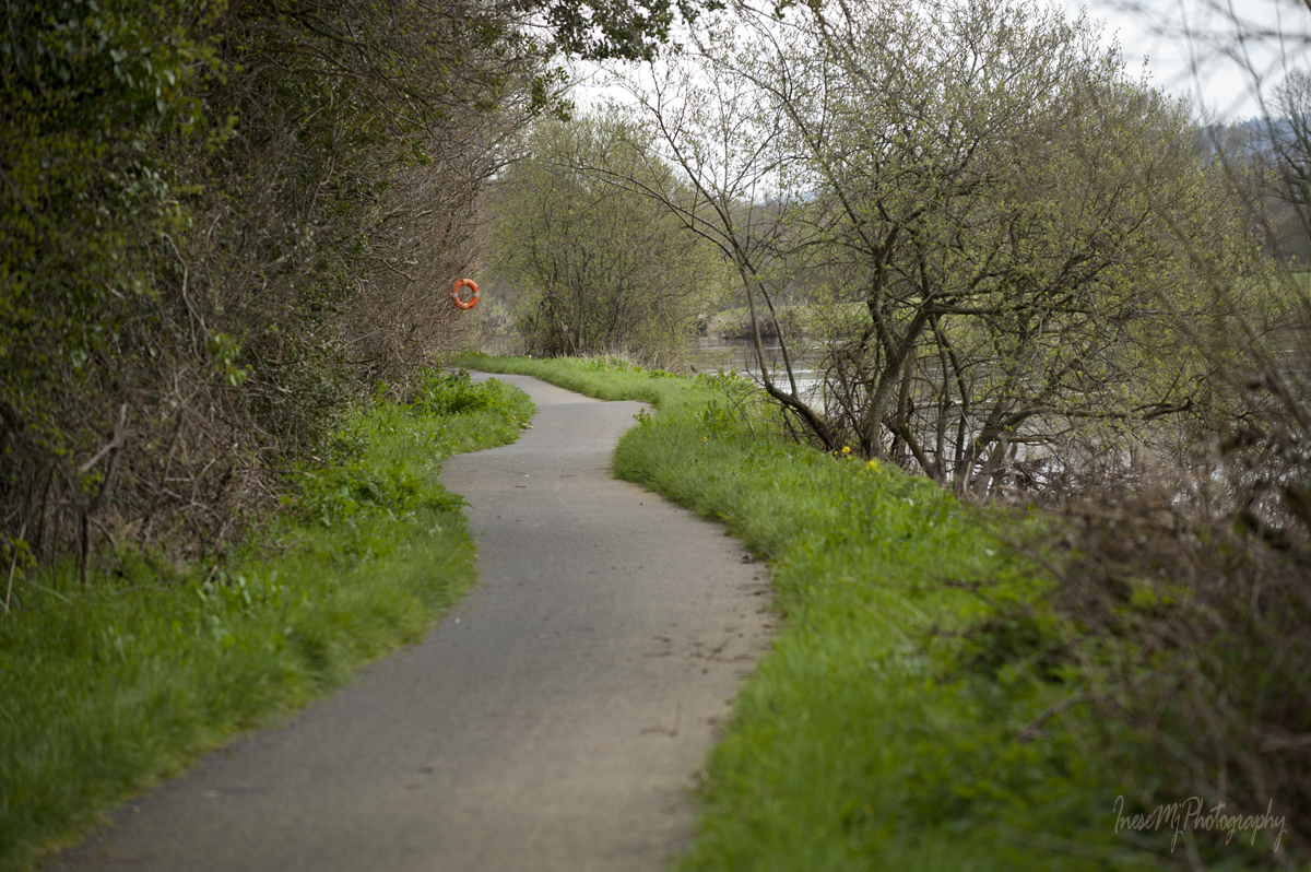
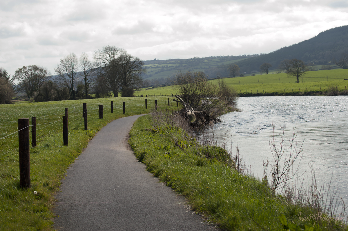
We walk some 2-3 kilometers and there is no other sound than the buzzing of bees and chirping of birds.

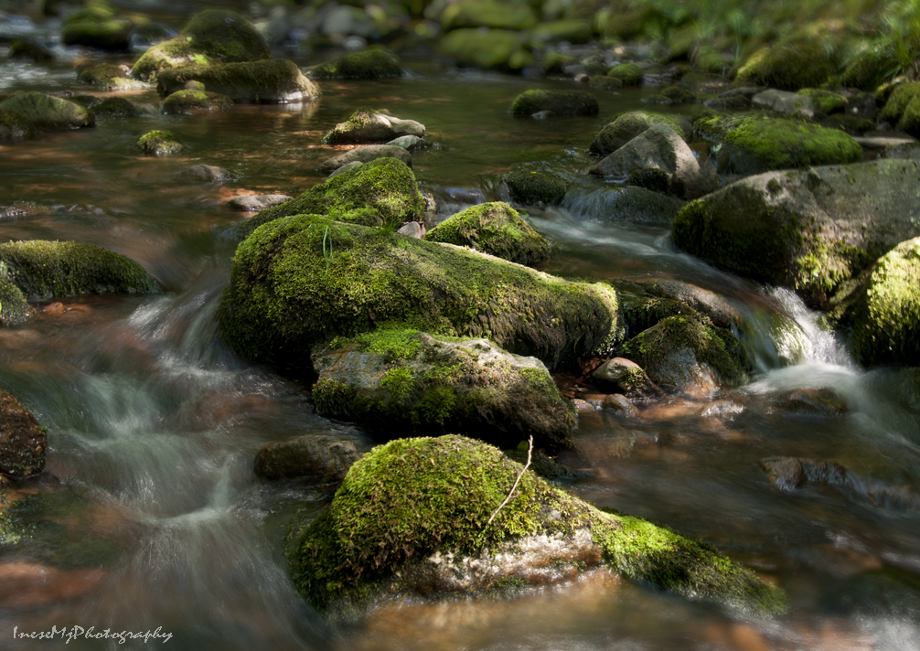
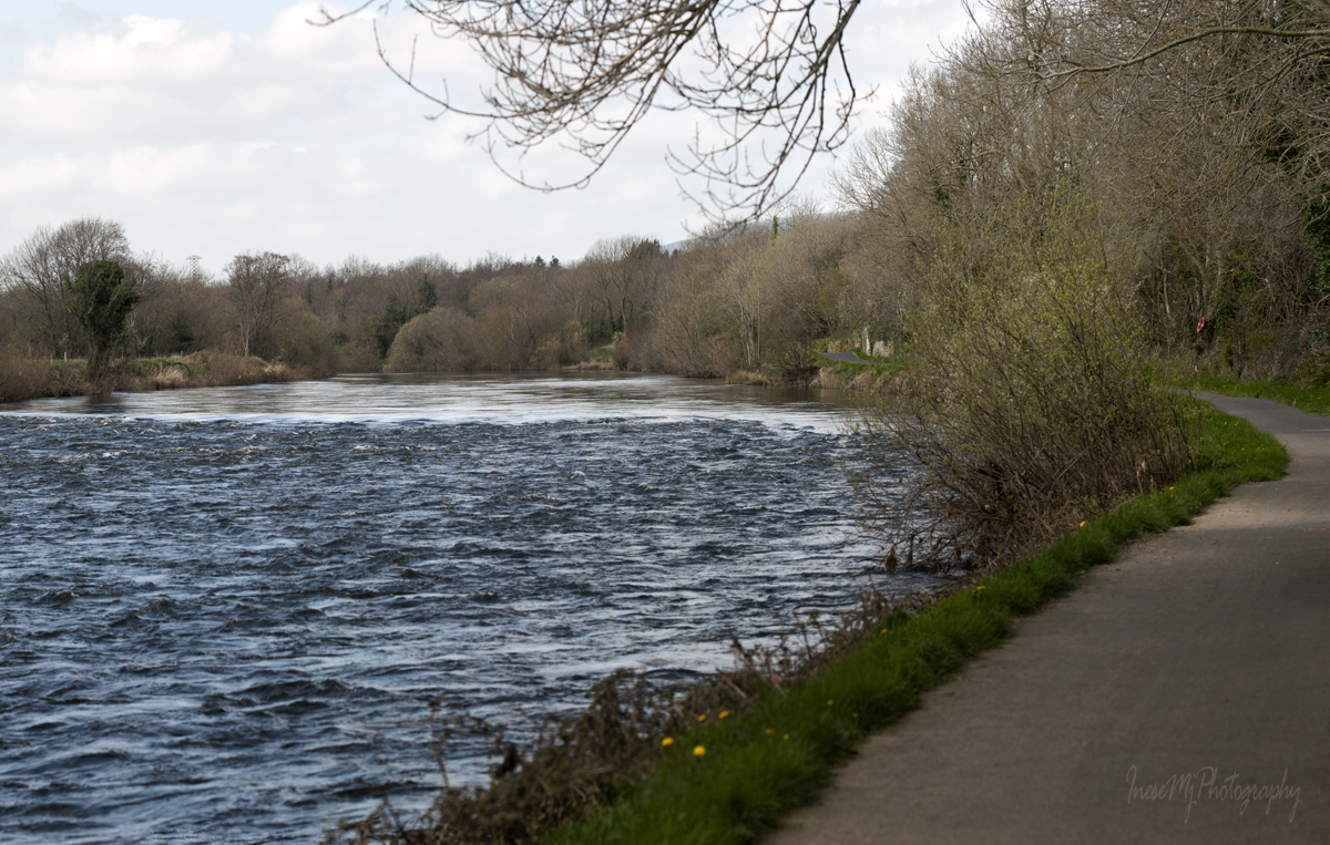
Then suddenly we hear a ‘white noise’ that grows louder as we walk – it is the sound of the rapids.

Nothing dramatic here, just the shallow water and the rocks, but the sound is impressive.

I take a slow shutter picture of the water.

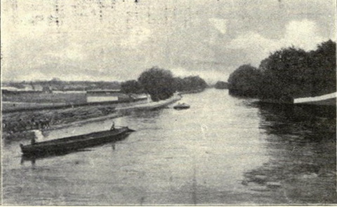
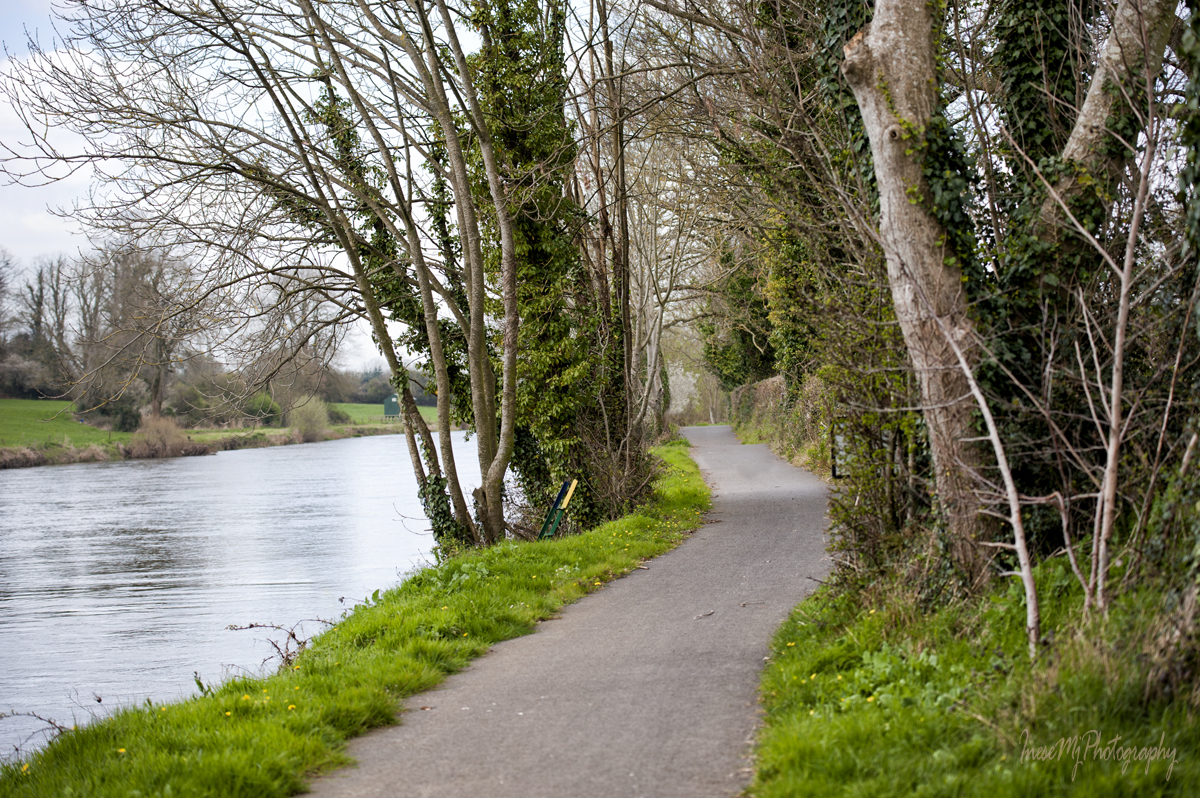
River Suir is not deep along the Blueway. All the navigation takes place to the south of Carrick-on-Suir.

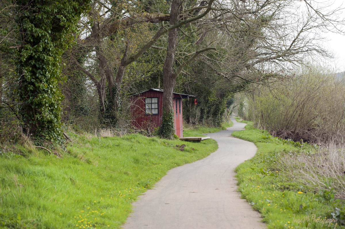
We walk another kilometre in solitude. There is MSD biotechnology company site somewhere at this stretch of the riverwalk, but they make themselves invisible, and they are a good employer anyway…

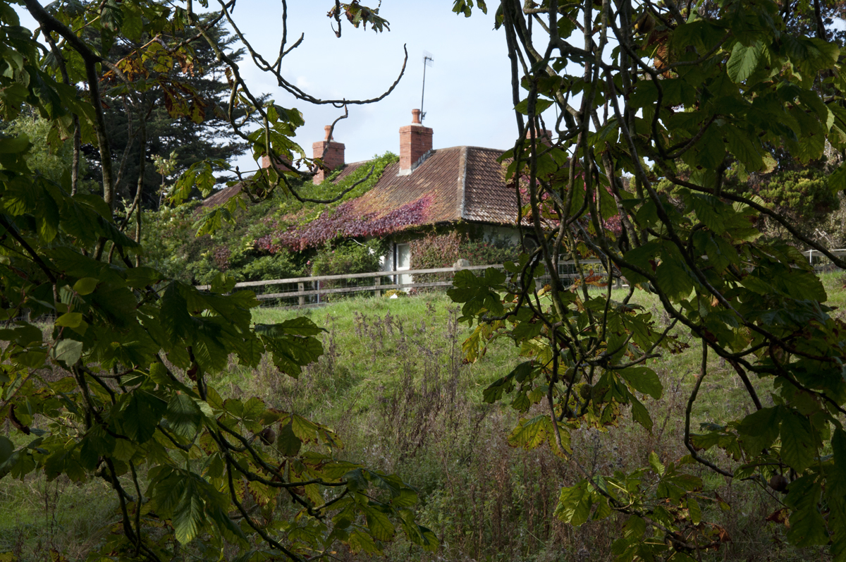
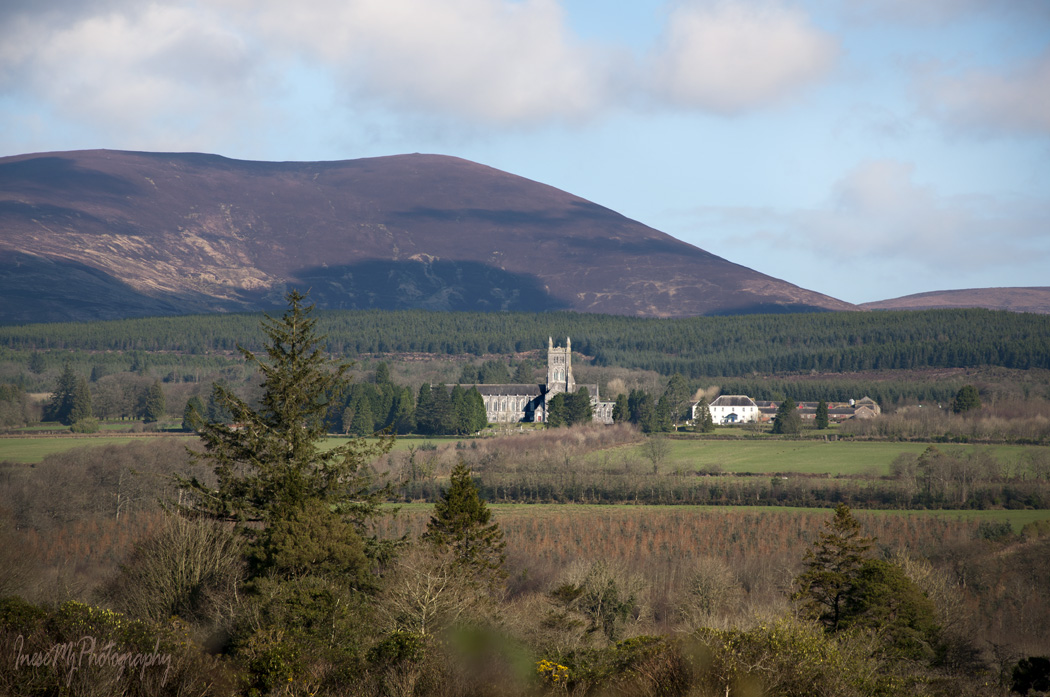
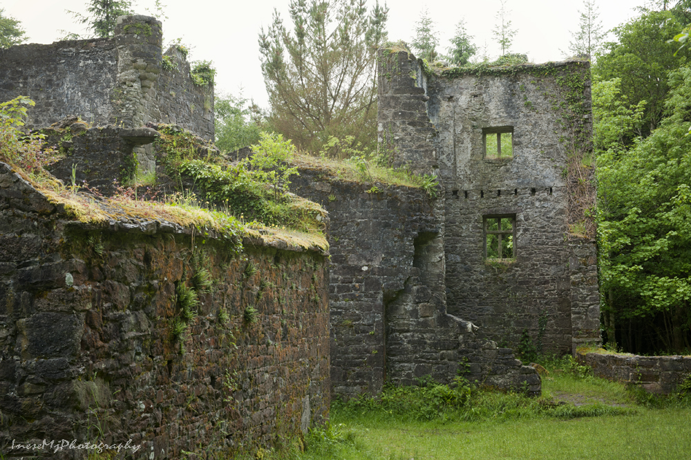
We pass so-called Glyn Castle – the house with a rich history built on the site of an ancient castle.

Waterford- Clonmel railway comes close to the river at this point.
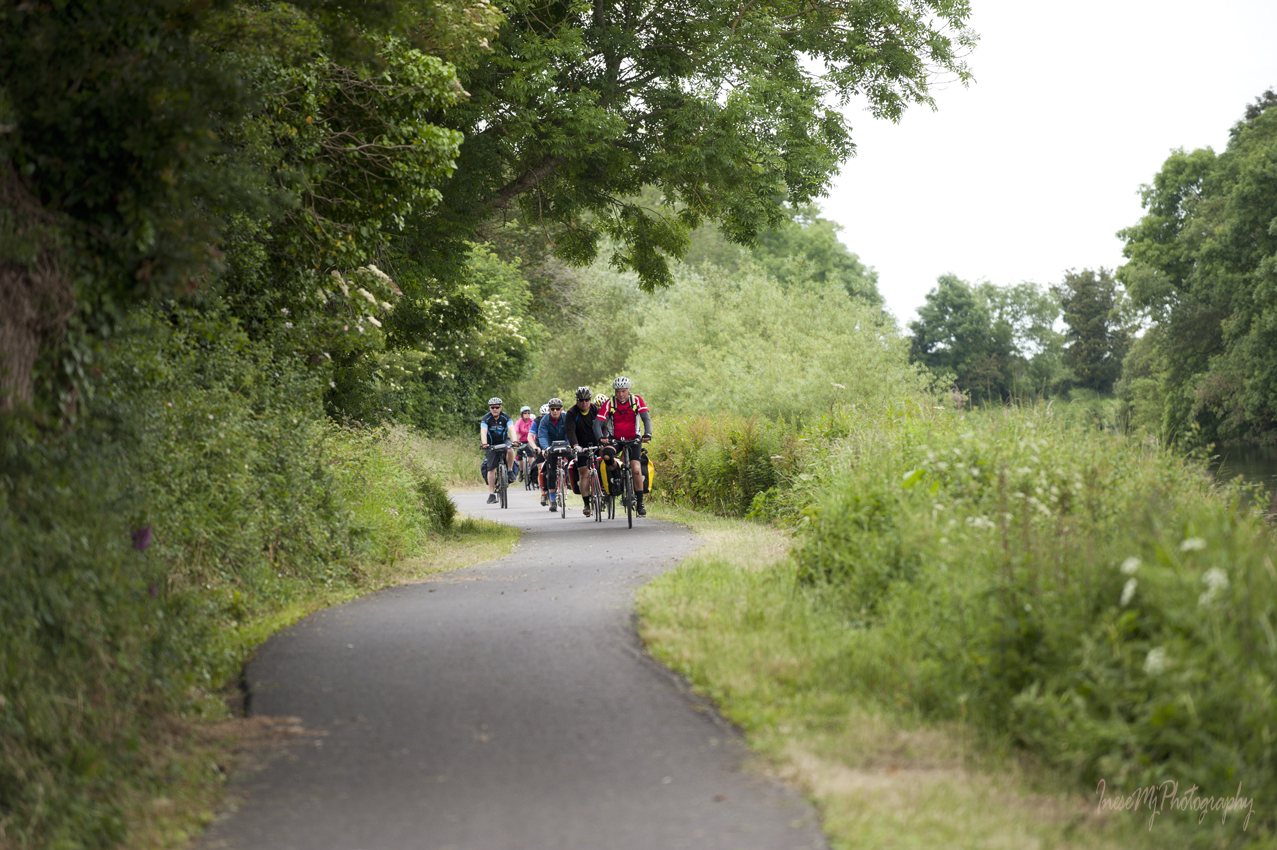
More walking.

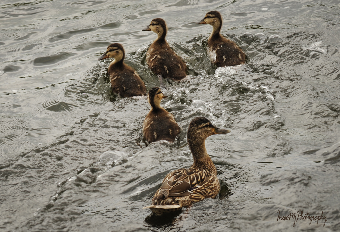
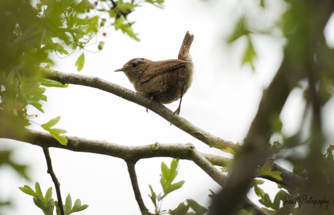
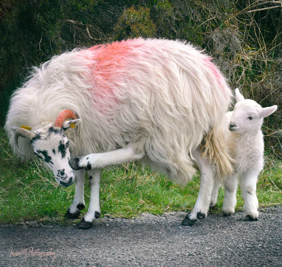
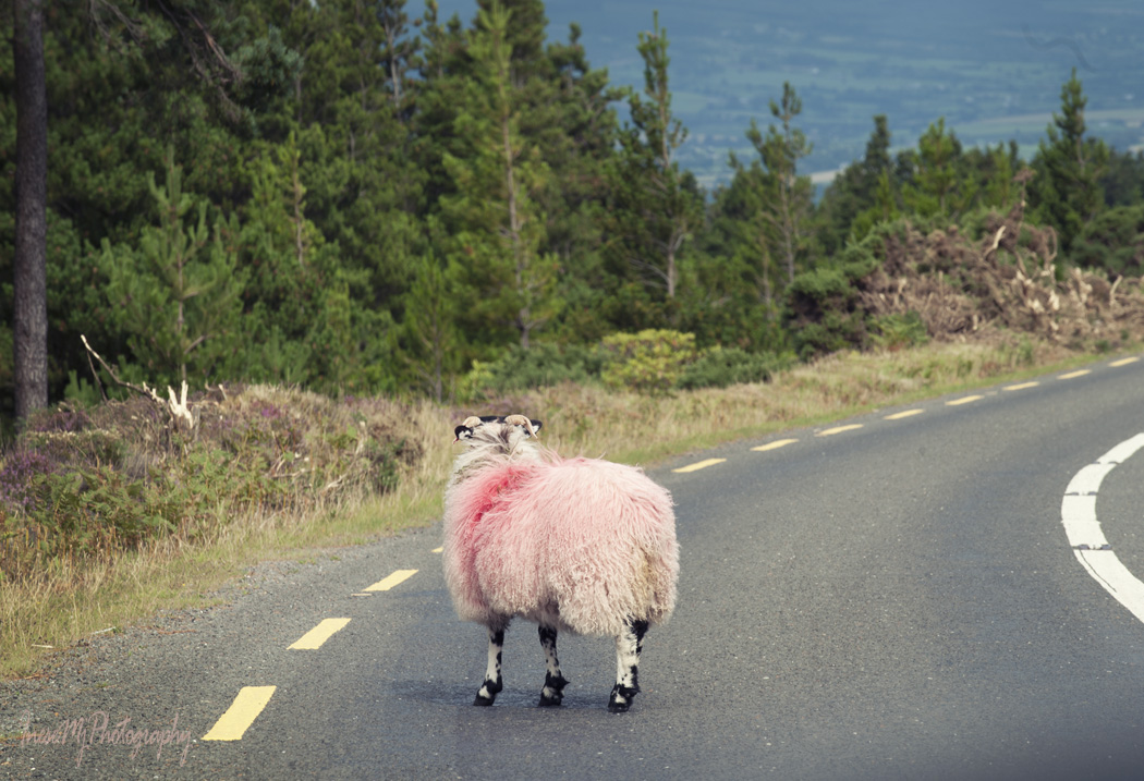
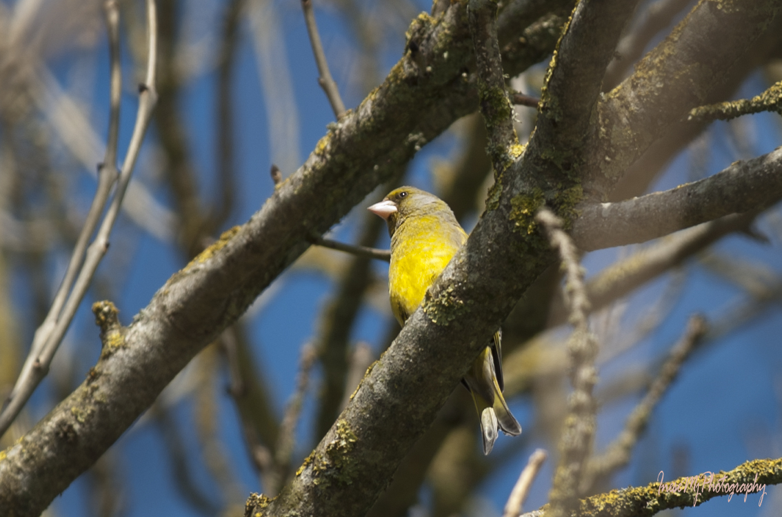
There are birds – robins, wrens, green finches.

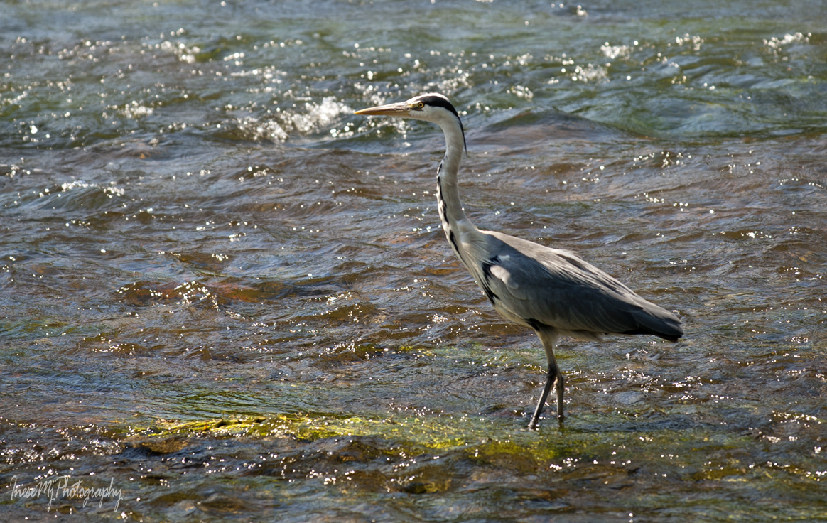
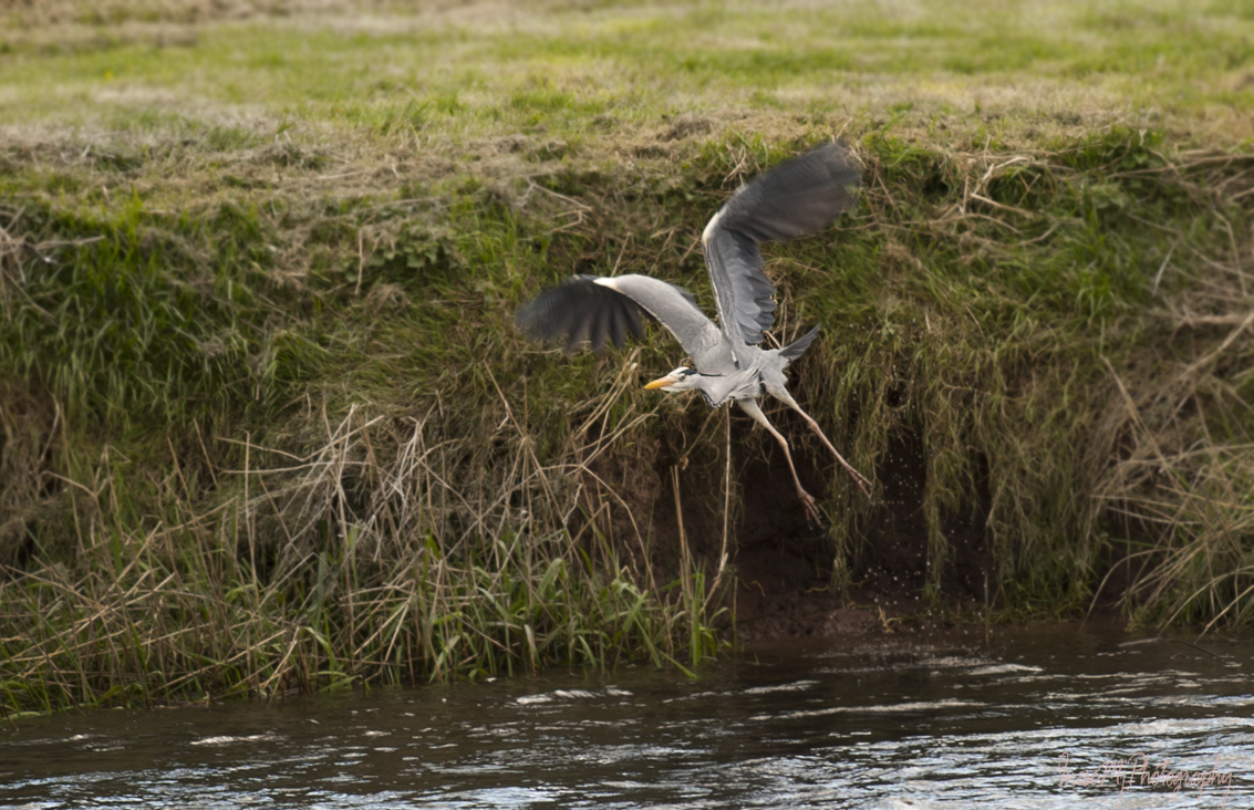
Heron makes a comical takeoff.

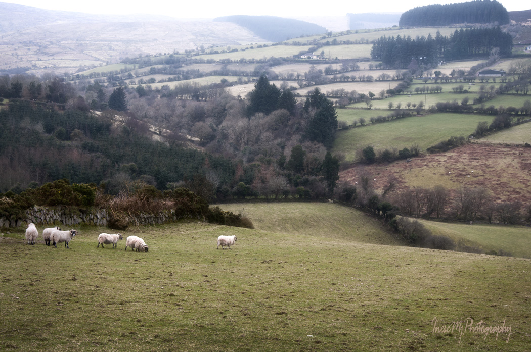
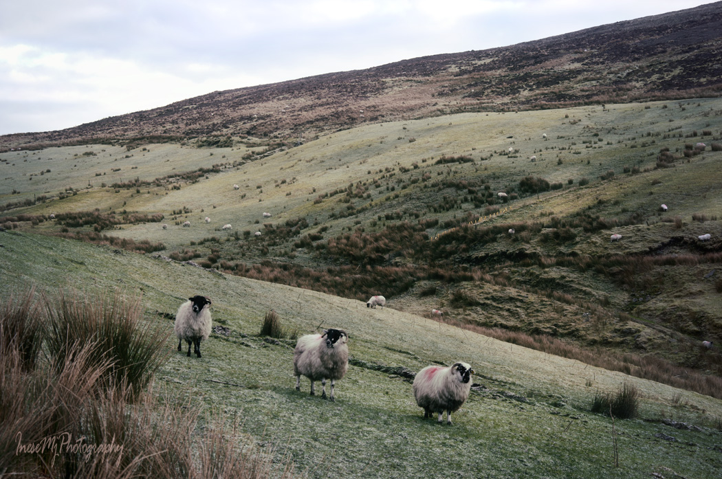
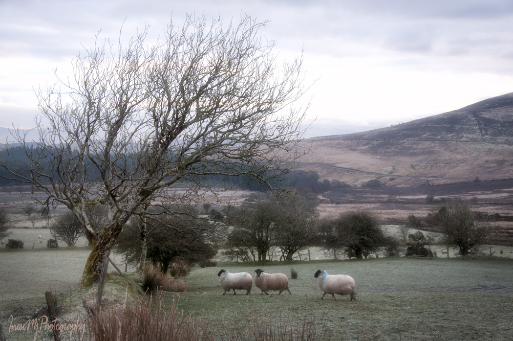
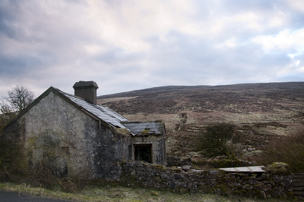
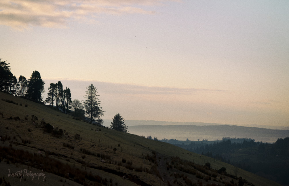
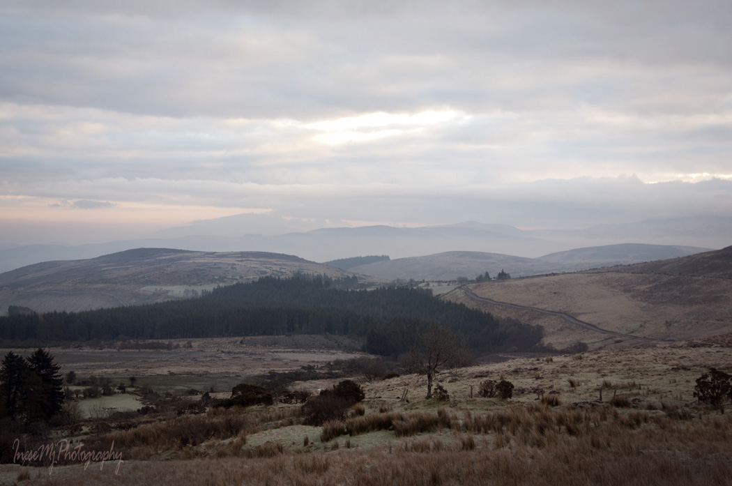
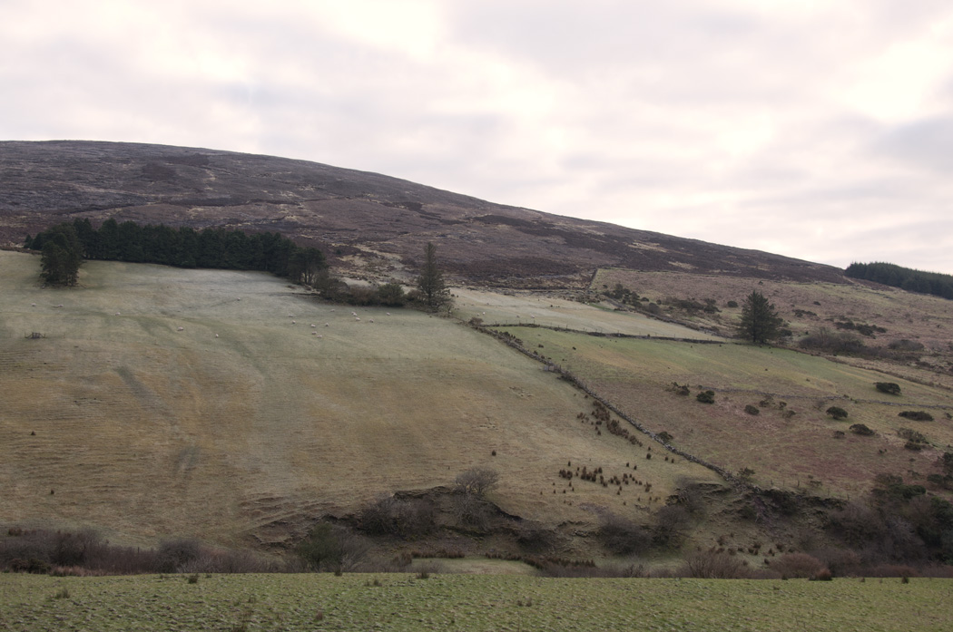
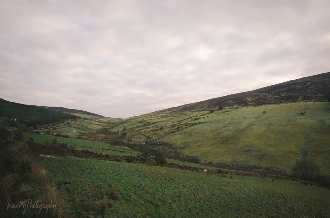
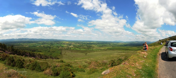
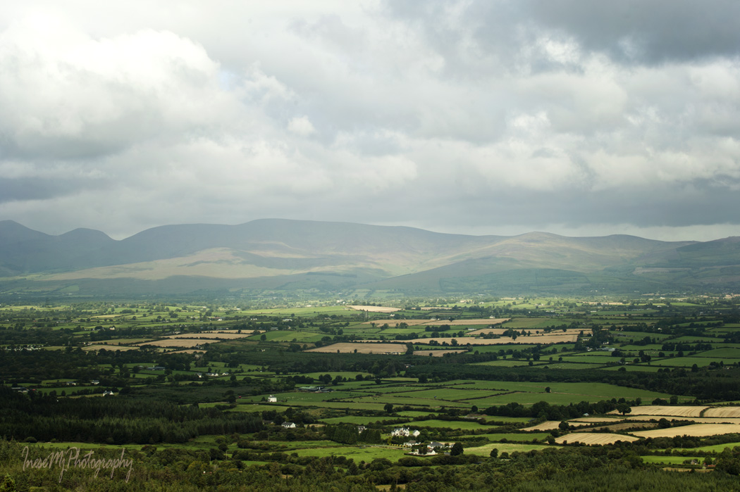
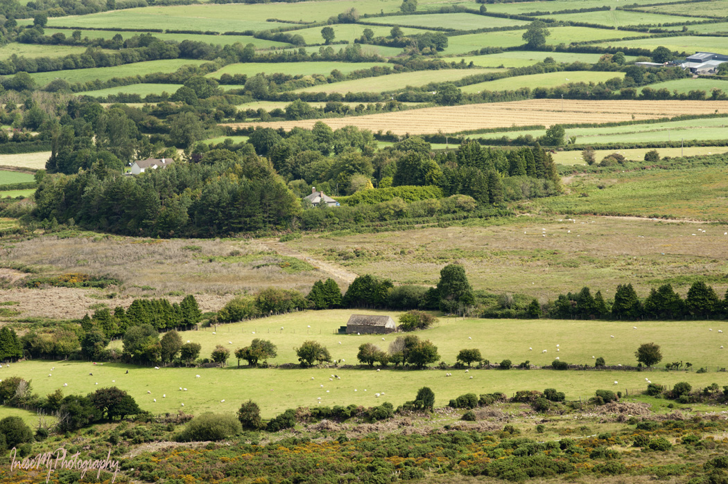
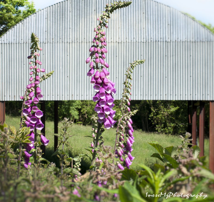
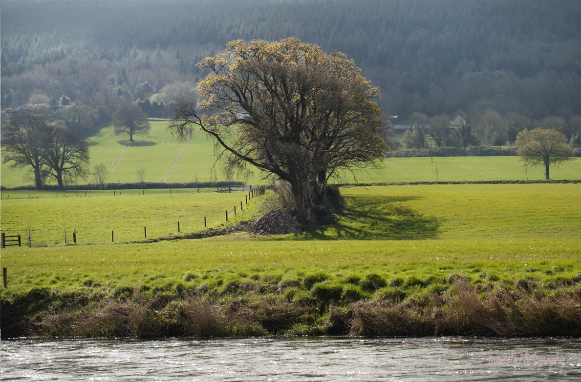
The beautiful vistas of the green Irish countryside provide a lovely ending to our 6 km long walk.

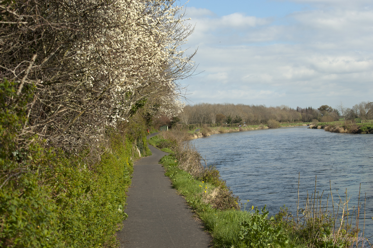
Some more birds as we approach the outskirts of my favorite village.

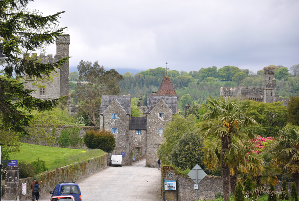
We made it to the Poulakerry tower house!

In my next blog we are going to stay in the village of Kilsheelan and walk between the Poulakerry tower house and Gurteen Castle.

  Have a happy week!

Blue Way of County Tipperary I

Today we are off to the River Suir again, ready to start a glorious 21 km (14 mile) walk which I have completed in the past, not in a single go, though. I also recommend Treacy’s Blueway Bike Hire for those who prefer cycling…

Suir Blueway is a 53 km kayaking trail from Carrick-on-Suir to Cahir and a 21km walking and cycling trail from Carrick-on-Suir to Clonmel along the river Suir.

A few words about the history of the trail. The Greenways are built on the former railway lines. The Blueways are built on the former towpath for horse-drawn boats.

Carrick-on-Suir has a long history of river transport. From the mid-eighteenth century until the early 1900-s horse-drawn boats were a familiar sight. The boats were often towed in pairs with a team of twelve horses yoked together, four men in charge. An old photograph below is linked to the blog post you might enjoy reading. The photograph was taken from the Gashouse Bridge, Clonmel.

You will see a good few remarkable buildings and ruins along the walk. Davin’s tower in the opening picture is a folly built by Lord Waterford in 1820-s. It is overlooking the Davin’s salmon weir – the science of constructing such weirs was brought to Ireland by the Franciscans. 

I have arranged my pictures by location and season. In today’s blog we start out in Carrick-on-Suir, and the season is Summer.

River otter is a common resident. A family of otters live at Carrick-on-Suir marina which is quite a busy place. River otters usually enter water only to hunt or travel. These three otters looked like they were traveling with a purpose.

I hope these cute ducklings escaped the sharp teeth…

We might sit down and rest our feet. Some of the benches have plaques – “In memory” or “Donated by”.

Birds are always present – robins, wrens, stonechats, thrushes and finches. Highly territorial Kingfishers can be seen once in a while. I have never got a photograph.

Heron is hunting in the shallow water. I always smile at his prehistoric looks and unnecessary panic with which he takes off: he is in the middle of the river and we humans don’t fly. Tainted conscience of a predator? Guilty of eating little ducklings, may be? 😉

Swans don’t panic. They have a vegetarian diet and clean conscience. They move with dignity and mind their own business.

We are almost halfway to Kilsheelan at this point. Hope you enjoyed the walk.

The Carrick-on-Suir Clancy Brothers Art Festival takes place on the June bank holiday weekend each year. Here is an hour long concert for you to listen while you are getting ready for the next leg of our adventure.

See you soon!


Have a happy week!

Knockmealdown mountains through the seasons II

Knockmealdowns

On a cold winter morning, shortly before the sunrise, we are traveling from Newcastle across the eastern part of the Knockmealdowns. The images below show the change of the light as the sun makes its way up in the sky.

Knockmealdowns

Knockmealdowns

Knockmealdowns

Knockmealdowns

Knockmealdowns

Knockmealdowns

Knockmealdowns

Knockmealdowns

Knockmealdowns

Knockmealdowns

More sheep.

This road will take you to the Mount Melleray Abbey .   You see it in the distance with the Knocknafallia mountain (666.5 m) in background.

Mount Melleray

In my previous post, I wrote about the other way to cross the Knockmealdowns. What links these two roads? Both of them can lead you to the famous Cats Bar where you can get a nice lunch and spend a good time in the evening. Photographs taken over the years.

cats bar

cat's bar cat's bar

Also, both of them can eventually take you to Lismore, but that’s another story for another time.

Lismore

Thank you for traveling across the Knockmealdown Mountains with me. If you are going to Ireland and travel from Tipperary to Waterford, try these two roads – R668 (R669) and ‘Unnamed’ road from Newcastle, Tipperary.

www.inesemjphotography.com Have a wonderful week!

Knockmealdown mountains through the seasons I

Last winter I posted Comeragh series to introduce my favorite mountains. Today I am taking you just a couple of miles west to the Knockmealdown range. We will cross Knockmealdown mountains twice – from Clogheen and from Newcastle, in summer and in winter. Today I will also share a few ten years old photographs from my hike across the western part of the range. Good old days 🙂

But first we have to drive through the village of Ardfinnan, and the most famous feature of Ardfinnan is not its castle, but its gaggle of geese. My former colleague, who is originally from Ardfinnan, once told me that it was his great-grandmother who left her geese to the village in the beginning of the 20th century. I cannot tell you how many generations of geese passed since their common ancestors waddled on the banks of River Suir. In winter they fly to the Marlfield lake and return by the end of February. It is a very well organised group, and you can see them crossing the road and walking around as they please.

Young goslings look very cute.

We drive to Clogheen and turn onto the road that takes us to The Vee  (V), a sharp hairpin bend. It is a scenic drive through the forest and the rhododendron bushes, up the side of the Sugar Loaf Hill. The Vee road was built after the Great Famine of 1847.

The Vee

As we are approaching The Vee, suddenly a breathtaking view opens up.

The Vee

Galtee mountains stand at the other end of the Golden Vale.

Patches of farmland change color with the seasons.

I think it is a good time for a good song about Kitty from Knockmealdown 🙂

Even better view after the switchback.

The Vee

The road goes on the side of the Sugar Loaf Hill, a mountain peak with elevation of 663 m. From the road you can see (and easy reach to) a beehive-shaped stone monument, the last resting place of the eccentric Mr Samuel R. Grubb, appointed High Sheriff of Tipperary (1855-1921). Mr Grubb came from a former Quaker family who had been cast out of the Quaker Society for their great fondness for dances and similar amusements. In his will he requested that he be buried “in a beautiful and romantic spot on the side of Sugar Loaf hills“, and his coffin be placed upright.  Tenants and employees of Mr Grubb carried his coffin to the grave.

The sheep are everywhere, adding excitement to the drive.

We stop at the viewpoint above the famous Bay Lough. Knocknalougha (Knockaunabulloga) Hill  is covered with thick rhododendron growth and looks all pink in May. As beautiful as it looks, rhododendron is an alien species, and spreads like a weed.

Why is Bay Lough famous? I will tell you everything in my Halloween post 🙂

The rest of the road looks more or less the same. On some stage the road forks: you can drive straight and visit Cappoquin, or take the right turn to Lismore.

Knockmealdowns

Here are some photographs taken during the epic hike from the Bay Lough car park to Araglin. In the picture below you see the Bianconi hut and the Grotto. The hut served as shelter for Bianconi Coaches, horse-drawn carriages that provided transportation services around the south and south-west just for 1 penny a mile.

bianconi hut

This hike took place ten years ago in September 2007.

Knockmealdowns

The highest peak of the range is Knockmealdown (794m). They say that on a  clear day the highest Kerry mountains can be seen from the summit.

Knockmealdowns

Knockmealdowns

Knockmealdowns

Knockmealdowns

Through the green tunnel, down the hill we are heading to Lismore. I will write about Lismore some other day.

Knockmealdowns

We have crossed the Knockmealdowns through the Vee Gap that is well seen in my opening picture with the Sugar Loaf on the right and Knocknalougha on the left side. Next time we are going to take the other road, and you will see what the mountains look like in winter.

Thank you for your company!

www.inesemjphotography.comHave a wonderful weekend!

Carey’s Castle: a hidden gem at the foot of the Comeraghs

carey castle

Just about a mile off the Clonmel to Dungarvan road, at the border between Tipperary and Waterford counties, stands the most loved and visited castle in the area.

The castle is located in the beautiful mixed woodlands close to the Glenary River, a tributary of the River Suir. Centuries ago the place was known as Glenabbey. It was a small monastic site that belonged to the Cistercian monastery in Innislounaght, Clonmel, but was abandoned in the 16th century as a result of the Dissolution of the Monasteries initiated by Henry VIII. The ruins of the old buildings and walls can still be seen.

After the monks moved out, the site was granted to Edward Gough, an alderman of Clonmel. There is no record that something remarkable had been happening in the site during the next 200 years, but in the beginning of the 19th century the Carey’s castle was built. At that time, the site was the property of the Carey family, the wealthy schoolmasters who loved history. It is believed that they were the ones who built the castle, because it is a mixture of architectural styles and eras. You see an ancient Irish Round Tower, medieval Norman hall, Romanesque arches and Gothic windows. There was also a walled garden facing the river.

The Careys sold the site in the 1840s when they emigrated to Australia. The next owner was Colonel Nuttall Greene, who soon became bankrupt, and his property was sold off in the Estates Court. The site was abandoned and became derelict.

Carey castle

Carey castle

Carey castle

Carey castle

Carey castle

I always thought this building was an ice house, but now I know it is a chapel :). I love to receive feedback and learn new things.

Carey Castle

This is the other side of the chapel and the path that approaches the site from the east.

Carey castle

This is the path you would walk on from the parking lot after you take a right turn down the hill. The main path continues straight through the woods. It is also beautiful and worth to explore.

Carey castle

This is what you see when you walk down that path. In summer, the view is obscured by the tree branches.

Carey castle

Here the path makes a loop and returns to the woods. A different view from this point. On the right, you see the walled garden.

Carey castle

All the parts of the path are mystically beautiful. You see many ancient ruins who knows how old.

Carey castle

Glenary River is a treasure itself. Quite deep in some places, she even hosts fish. Local teenagers come for a swim in the icy-cold pool, just five minutes walk to the east from the castle.

I walk along the Glenary River out of the woods to the main road. It is quite dark here, and suddenly there is an opening between the trees, and the sheep appear like pale ghosts out of nowhere, startling me.

I hurry up, and in a couple of minutes the sun is shining again, and there are no ghosts anymore. Thistles and Foxgloves are stretching tall to get out of the thick wall of nettles guarding an old farmstead.

digitalis

I take some pictures of the gate and old roof, and walk to the parking lot.

Carey Castle is a unique place, open to everyone. How sad it is that people leave all their litter there after having picnics and walking their dogs. Once a year, a local Slovakian/Polish family hosts a Gulash Party in the castle grounds. A huge saucepan of stew is cooked, and families with children stay in the site all the day, and some even over night, sleeping in the tents. Everyone can come if they are well-behaved 🙂  Before the party begins, the hosts are combing the area and picking up all the rubbish left there during the rest of the year. After the party, the place is tidied up again.

There is another Carey’s Castle in the world, a cave-like dwelling in the end of a magnificent trail at the South-West corner of Joshua Tree National Park, USA. Both sites are not officially recognized as tourist destinations, and remain ‘hidden gems’.

Thank you for visiting my favorite place!


Just to let you know.  We have a wee addition to our family 🙂


inese_mj_photography Have a wonderful weekend!