Comeraghs

Coumshingaun in December 2020

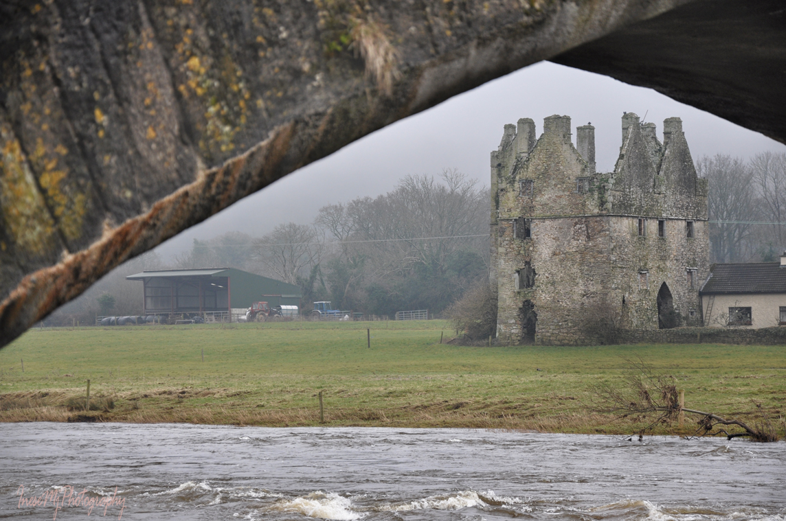
We are visiting Crotty’s places, and Coumshingaun is next on the list. I will write more about the lake in January. Today I want to tell you about a man who had lived around there most of his life, 200 years after William Crotty.

The Hermit Lackendarra.

This picture is linked to the blog of a native of Kilmacthomas Tom O’Brien, novelist, playwright and poet living in Hastings UK. Tom wrote the hermit’s story in 2014, sharing his own memories as he grew up in the area. My plan was to write about Lackendarra in 2019, on the occasion of the 100th anniversary of his settling in the Comeraghs, but none of my plans have been working since… Yet, I didn’t give up on the idea. In November, I met a solo hiker who mentioned the hermit, and I knew it was the time to finally put up a blog post.

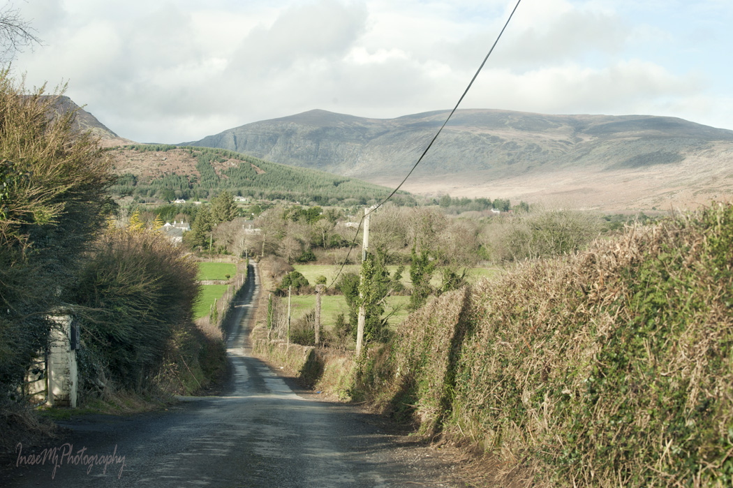
I had never been to the hermit’s cave, but I had a map from Barry Dalby of EastWest Mapping and spotted the rock from the main road. It took a while though, but on a fine and chilly December day I was finally standing there, as close as I could get to the place. The rock looked massive, its surface was glowing in the low winter light.

Before he became known by the name of Lackendarra, Jim Fitzgerald was a young lad raised by his grandparents in the townland of Castlereagh near Lackendarra on the other side of the Comeraghs. According to Census, he was born in 1891, and it also fits with the record of his death in 1959 at the age of 68.

Jim enlisted with the Royal Irish Regiment in 1914 and was sent to Mesopotamia with the 1st Bn Connaught Rangers in 1916. In 1918, he was discharged with diagnosis “melancholia” due to suffering a severe shell shock, a broken man, physically and mentally.

Unable to fit in and keep a job, he went to the mountains looking for a place to live away from society.

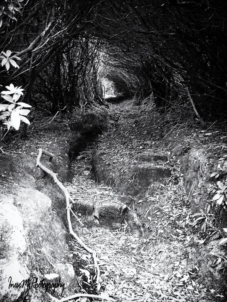
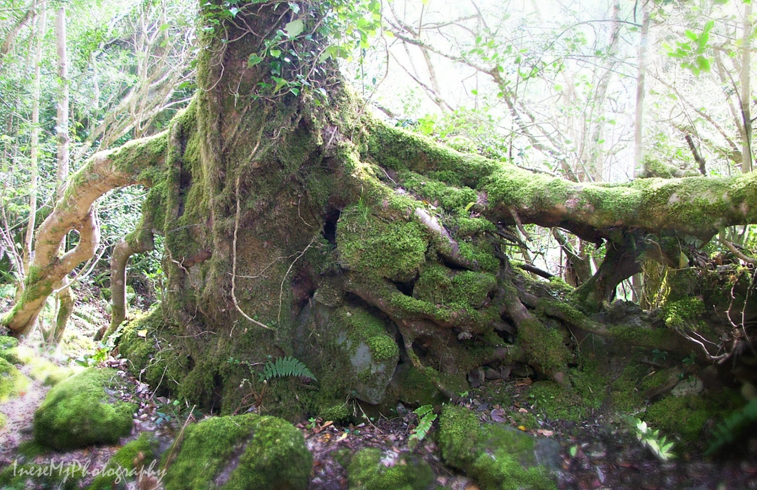
After days of search, he came across a cavern in the cliff behind Coumshingaun lake. It seems the cavern was the one where William Crotty used to hide his horses and stolen cattle.

“A few nights after his arrival, he had been awakened by the piercing wails of a woman and the agonizing groans of a man. The sounds were followed by the clip-clop of hoof beats and the echoes of clashing steel. After the some time the tumult had retreated along the tunnel – way to the north, and faded away…

The unearthly noises had continued every night without any variation, until his nerves eventually forced him to depart. “I thought Crotty’s ghost was after me and I could not suppress the fear that his gander resented my presence”.

Old Jim of the Comeraghs by John Scarry, The Wide World Magazine: Vol. 118, No. 700, November 1956

Jim left the cavern, but used a cave under the fallen rocks as his summer residence.

Before I continue with the story about my hike, I want you to watch this amazing video by Tom Fitzpatrick and learn more about The Hermit Lackendarra. It is a 17 minute video and some extras, not a single minute too long. I share this video to celebrate all the kind people who took care of a stranger, a broken man, expecting nothing in return.

Lackendarra from Tom Fitzpatrick on Vimeo.

*

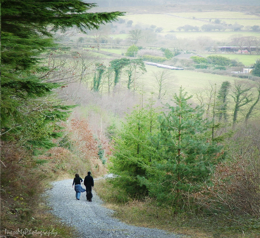
I parked at Kilclooney Wood car park and being a polite (and curious) person started a small talk with these two gentlemen getting ready for their hike. The weather was extremely windy and chilly. I couldn’t miss noticing their serious hiking gear which meant they were up for the 4 hour cliff hike around the lake. My Sketchers walking shoes were noticed too, and frowned upon 😉 I asked about the Hermit’s cave and got the directions.

Meet the rock climbers – educator and mountaineer Jack Bergin and director of Dunmore East Sea School Robert Marchant.

I was glad I didn’t wear my Earth Spirit sandals that day… I wear them all the year round – just add an extra pair of socks in winter. They are great on the rocks and rugged terrain – I can feel the earth beneath my feet and never slip. Another good thing about them – I don’t do any damage to the soil and vegetation. It is very important for me because I often walk off the trails to take photographs. Even the Sketchers look heavy to compare with my favorite sandals.

This is an old photograph, and it was the view I expected, but there was no pine tree anymore. I couldn’t believe my eyes. It was an artificial pine tree, so it definitely wasn’t cut down for timber!

I looked around in confusion, and there it was, all broken into pieces.

Now I know what the tree was made from.

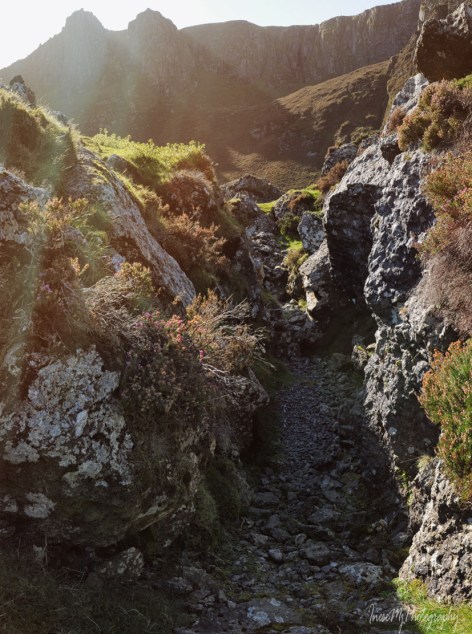
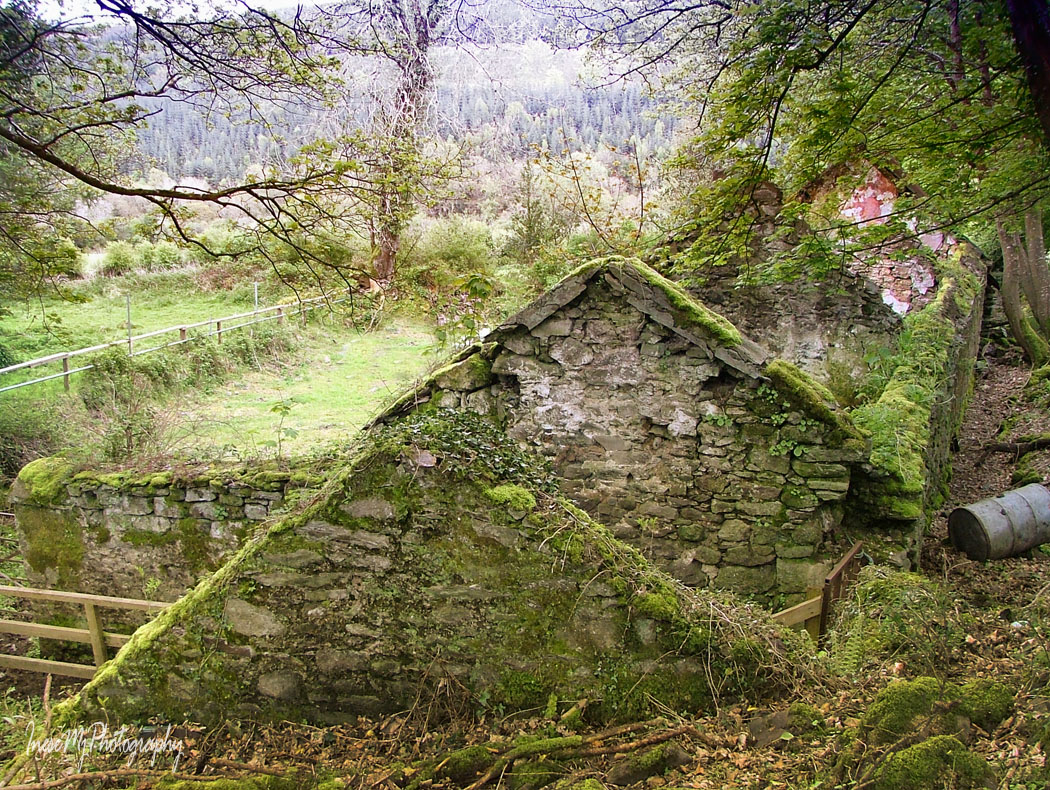
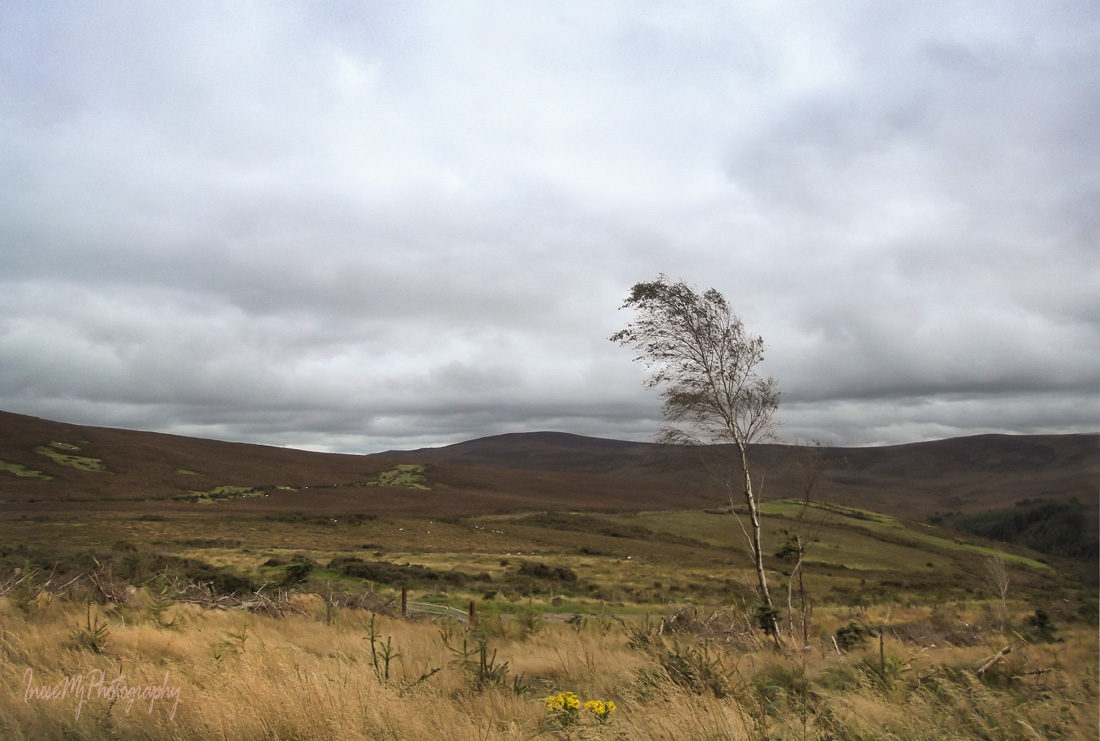
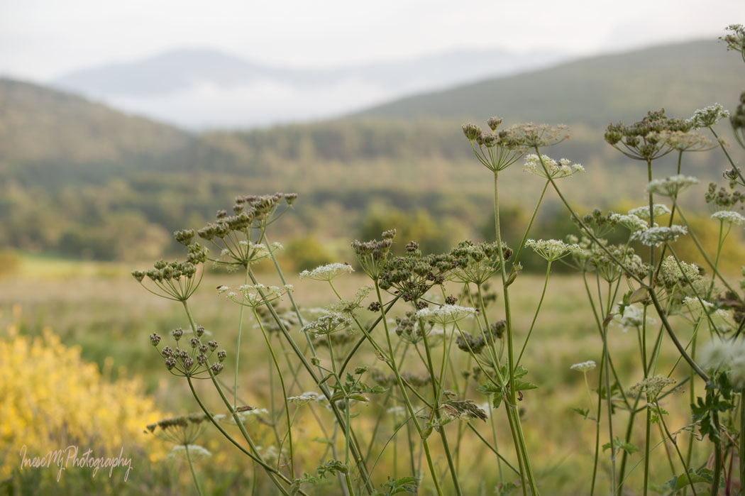
Instead of walking up the slope, I continue straight ahead until the path takes me to the stone wall. Then I just follow the wall. I wouldn’t walk here in summer because of the ferns and other thick vegetation.

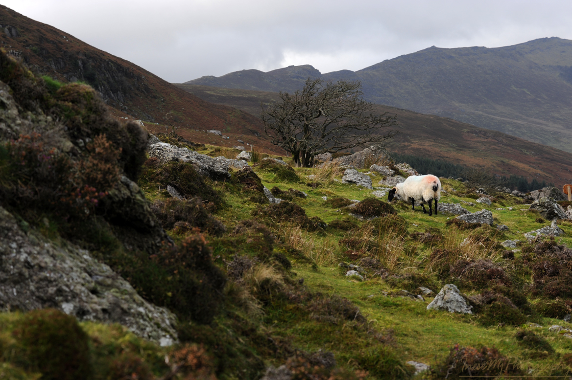
I look back at the coum trying to spot the brave rock climbers. I don’t feel the wind here, but I have seen the forecast… Hope they are all right…

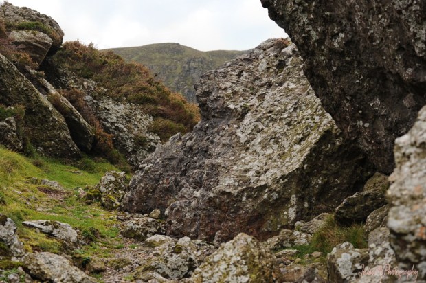
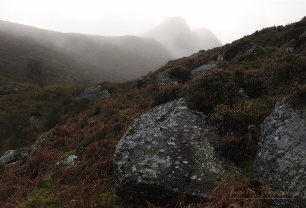
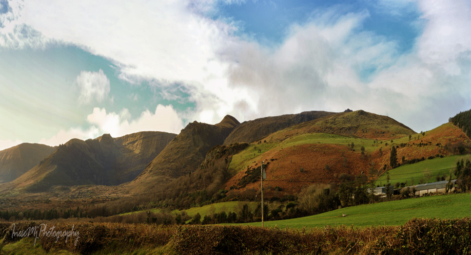
Finally I see the Lackendarra’s Rock. It is not as close as I expected, but I wouldn’t cross the fencing. I just stand there thinking about everything I know about the man.

I look back at the coum again. It is very tempting to walk to the lake from here. It is what Lackendarra would do. There is a sheep track, and I follow it.

The sheep track is winding between the ferns. The rocks grow bigger as I come closer, and smaller again when I look back.

At this point I decide to turn left to may be join the trail. The place feels like a wind tunnel and I worry about the lads.

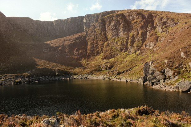
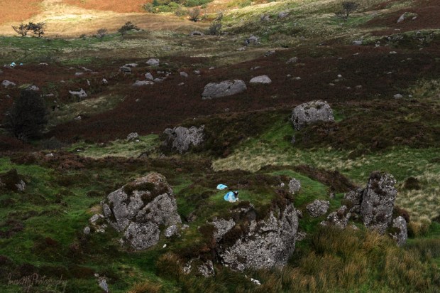
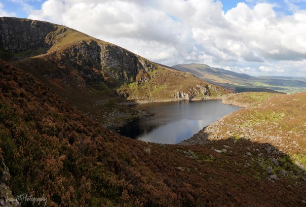
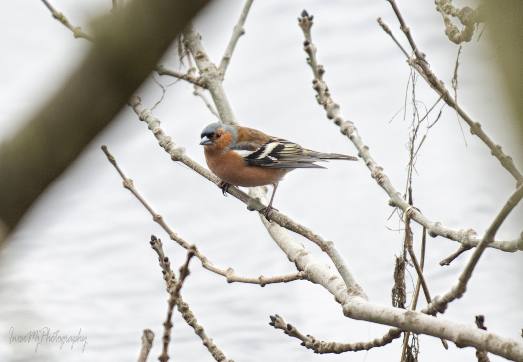
Robins and rabbits distracted me. It was after 3PM when I finally got to the lake. There I met another hiker, Garreth, and we exchanged some bits of information about the area. When Garreth left, I had the whole coum to myself. It was quite dark, I took a few pictures of a shallow stream and walked towards the far end of the lake. It is a half of a mile long walk, and I wouldn’t go to the caves anyway, so I just took this picture from a distance. To get a sense of scale, look at the white dots – the sheep. The Crotty’s cavern is in the centre. On the right side of the cavern the rockfall created a series of caves where Lackendarra would stay in summer.

This is an older picture. The place doesn’t change much over the seasons.

I am delighted you learned another bit of Co Waterford history. More about the lake in my next blog. And yes, the brave rock climbers returned safe and sound at the time I was done with my photography.

I hope you had a happy Christmas. There are too many people in the world haunted by their memories, fears or pain. Sometimes they are too different for us to be comfortable with. They might feel the same about us. It is a fragile territory where only a pure compassion can operate. My New Year’s wish for you is that your life is full of love, joy and prosperity, and also compassion – the key to all good in this life.

Thank you for being friends.

  Merry Christmas and a Happy New Year!

Crotty’s Lake II

After a short break we continue our ascend to the lake. A beautiful view of the scenic valley between the cloud-clad Slievenamon and the Comeragh Mountains will follow you all the way up acquiring a map-like look as you climb higher.

In the picture below, you see the south end of the valley, a glimpse of Croughaun Hill on the right, and the Portlaw windmills in the skyline. What a view!

The bump on the top of this steep hill is The Ass’s Tail.  The Ass’s Ears (and the lake) are located right behind. Instead of struggling our way up, we will wisely follow the waymarks round the hill choosing the dry grass patches between the rocks and the sheep tracks to guide us through the heather.

There are three kinds of heather in the Comeraghs, of which only one is a real heather – Ling or Calluna vulgaris. The other two are Erica – Cross-leaved heath, and the Bell heather in the picture below. Erica have plump magenta-colored flowers.

I have read that heather can live for 30 years.

The Irish weather is not always dry and sunny. Be careful around the tiny streams emerging after the rain. The incline gets steeper here – slow down, stop and take a picture 😉

Nearly there! The last stretch is my favorite.

First you see a pair of pinnacles. That’s right, they are The Ass’s Ears.

Then the lake itself appears, and it is like magic, especially when you see a redhead fairy taking a selfie.

We walk along the lake, taking in the majestic beauty of the rugged cliffs.

We will hike closer to the pinnacles to see the Crotty’s Rock.

First we take a short hike up the steep slope on the right side of the lake to get some views.

When taking this picture, I was the only human being as far as I could see in any direction.

We continue walking along the slope, sometimes with nothing more but narrow sheep tracks to help us through the thick heather.

Sometimes we need to switchback or walk around the rocks.

That’s high! 😊

Higher 😊

Now you can see The Crotty’s Rock on the top of the pinnacle.

Another hike, this time to the left side of the lake. From here we can see the Crotty’s cave. To get there, he had to swim and use a rope to lower himself under the ground level.

The slope is very steep here, and the sheep tracks are narrow and boggy. Do the sheep ever fall off the rocks? Yes, they do.

I found some parts of the sheep skeleton – mandible and a part of the cranium.

More views.

I hope this part of the Comeragh mountains won’t change. People don’t want to drive to this lake. They want to hike there. Those who come to Ireland are not looking for luxuries. They see value in unspoiled natural scenery, a special kind of adventure. My opponents always mention the Mahon Falls, Co Waterford, as an example of successful tourist destination, but it is different, it is a former turf cutting site. Comeragh mountain lakes are precious gems, and any attempt to make them ‘touristy’ takes their value away.

Thank you for being such great walking buddies. Next time we will visit another beautiful lake.

  Have a wonderful week!

Blue Way of County Tipperary V

The last leg of our walk begins. The season is early spring. Some old, pre-Blueway pictures from the other seasons are added just because I have hundreds of them 😉

I stop and look both directions down the winding path.

That’s how it looked only a few years ago. It was a refuge for the stressed-out humans and nesting place for birds. I loved it.

Fragrant Meadow Sweet used to grow waist-high at the water edge. It probably was there for millennium. A sacred herb to the Celts, it was used in potions to treat skin problems, and as a floor covering for warmth and hygiene.

And there are birds, of course. Chaffinches, robins and starlings are year-round residents in Ireland. Chaffinch is a long-living bird, and raises one brood each year.

Robin and starling live only 2-3 years, often even less, and raise three broods a year. I have seen robin fledglings in early October.

Halfway to our destination, there is a ruined church and graveyard we will visit some other day. The graveyard is the resting place of Catherine Isabella Osborne, an Irish artist and patron. She was interested in photography and supported William Despard Hemphill’s photography projects. He dedicated his collection of photographs of Clonmel to her in 1860.

Killaloan church looks timeless with majestic Slievenamon in background.

At the opposite side of the river, heather-clad slopes of the Comeraghs come into view. River Suir runs all the way along the Comeraghs and turns north near the village of Newcastle at the foot of the Knockmealdowns.

We walk past a memorial stela and stone bench. The memorial was erected by the family of Peter Britton who along with his climbing partner Colm Ennis died in a fall in the French Alps in 2014. Mr. Britton was the Senior Roads Engineer with Tipperary County Council remembered for his role in the Blueway project.

River Anner, a tributary, slips under the bridge into River Suir.

It is not unusual to see Clonmel Riding Club members on the towpath…

…but the galloping ponies on the opposite bank came as a surprise.

We are approaching another beautiful landmark – Sir Thomas’s Bridge. This six-arch humpback bridge was built in 1690 by Sir Thomas Osborne who had lands on both sides of the river. He resided in the three-story Tudor style house built almost a century earlier by Alexander Power.

This is a closer look at the house. It is often called Tickincor Castle and has been in ruin since the 19th century.

A view of Sir Thomas’s bridge from the opposite bank. The same as Kilsheelan bridge, it has a dry arch for pedestrian use. The bridge has never been widened or altered in any way.

Another interesting fact about Sir Thomas’s bridge is that in the times of horse-towing, the whole team had to enter the river to pass underneath the arch. Accidents happened and the boats got wrecked there.

Another view from the opposite bank. You can appreciate the height of the arches.

Clonmel river walk existed way before the Blueway was launched.

There is a set of weirs on this stretch of the river, some of them overgrown. They used to supply the water wheels for the number of mills. Here is a poem about the Gwendoline boat accident at the long Dudley’s weir.

A heron took off, slipped on landing but regained his balance. Funny bird, I never get bored watching them.

Hotel Minella is another landmark. The central building (1863) was built for Thomas Malcolmson of the famous Malcolmson family I mentioned in my blog before. The Malcolmsons represented the finest example of capitalism in action. As per The Irish Times, August 18, 1865, Mr. David Malcolmson shared his thoughts about the self reliance and welfare: ‘The best mode of preventing emigration would be to provide proper dwellings for the peasantry, and to give every labourer a savings’ bank outside his own door in the shape of an acre or half an acre of land.’ 

This is the flooded Clonmel in 2009. The five-arch Gashouse bridge (1825) has two already familiar pedestrian dry arches – one on each side of the river, but there is also a dry path for the horse-towing under the navigation arch. Very interesting features are the bollards I have circled in red in the picture. They are made of cement, and have deep rope marks.

The towpath ends here. We will walk a little further.

This is where our walk ends – the Old Bridge, Clonmel. Actually the Old Bridge is a group of bridges spanning two existing branches of River Suir and one former branch which is dry now.

A view from the bridge during the 2009 flood.

After that flood the wall was built. No, it doesn’t stay this way all the time, thankfully.

Beautiful River Suir – walled, paved, but not tamed.

I am sharing a link to one of my favorite blogs. Here you can watch a slideshow to find out what the river looks like from a boat. Thank you Brian for all your fantastic articles!

Here is an article about a person who doesn’t support the development of the Blueways, and I clearly see her point. It is about River Barrow, one of the ‘Three Sisters’ – Barrow, Suir and Nore. What happens next is still uncertain. The owners of the local businesses are the strongest supporters, but in my opinion, South-East doesn’t need more Blueways. River Barrow in its natural beauty will attract even more visitors in the future. Maintaining the grassy towpath and leaving all the mature trees be is the best investment one can make. Mr. Malcolmson would approve 😉

Thank you for being such wonderful walking companions!

Have a happy weekend!

Till we meet again

comeraghs

It is my last post of the series, but I will return to the mountains as I always do, and share more pictures in the future.

I will probably visit the mountains in May to walk through the Rhododendron Fairy Tunnel…

fairy tunnel

09-031

…and revisit Glenary village.

09-188

I am also curious if the tiny spruces and larches that are hidden in the tall grass haven’t grown up already since the picture was taken in 2013.

comeraghs

To add the last touches to my photo story about Comeragh Mountains I drive along the Eastern ridge which I hope to revisit when the weather gets more summery. Late afternoon sun paints the mountains in rich, warm colors.

I park at the side of the road and enjoy the beauty of Stookangarriff Ridge and Coumshingaun. At the bottom of the almost vertical cliff there hides Ireland’s most beautiful lake.

I continue driving along the mountain road, and it feels like flying a small airplane.

Comeraghs

More coums, big and small …

comeraghs

… and sheep, always sheep, with red, blue or yellow painted bottoms.

comeraghs

The mountains are their life. Rough life.

comeraghs

To complete a full circle around the Comeraghs, I drive along the Southern part of the mountains.

Once I stuck in this place for a couple of hours, because my car refused to start. It did, eventually, and I still have no idea what happened. Must be fairies. Anyway, as I managed to start the car and hurried home, I looked in the rear view mirror and noticed something unusual in the sky. I got out of the car and could not believe my eyes: a perfect heart-shaped cloud was hanging at the edge of the hill, and another cloud that looked like a pair of angel wings, was hovering over the heart. I had already packed my camera, but managed to take it out quickly and get a couple of shots before the clouds disappeared.

This Cloud Heart is here for all of you who took your time to read about my favorite mountains, and to be an active participant of our grand hike 🙂 Thank you so much for all your wonderful comments and friendship! When I take more photographs to put up another Comeragh mountain blog, we will meet again. Stay fit 😉

My next blog is about creatures 🙂

inesemjphotography  Have a wonderful weekend!


Cannon Hill

cannon hill

We are rounding up our calorie-burning Comeragh hike. Before we are done, I want to share this post about a small but very important part of Comeragh Mountains –  Cannon Hill,  one of beloved places  of Clonmel people  ( I have already written about Carey Castle, St. Patrick’s Well and some other local favorites).

We take the left turn up a narrow road just before the Carey Castle sign, and start our walk along the side of Cannon Hill. There are two roads, the upper one is wider, and there is a nice space for parking. A couple of years ago I came here to assess the old farmhouse ruins for a photo session. I had only one hour, but there was the man with his dogs, and he started a conversation that lasted 40 minutes 🙂 He introduced himself as Richard, and it came out he is a father-in-law of my former colleague, but the most important, he is Clonmel history enthusiast, it is why I forgot about time and listened to the stories about his ancestors and historical events I have never heard about before.  The funnies part is that recently I came across an article where another man mentioned his long conversation with Richard that took place in exactly the same spot 🙂 So, if you want to learn more about history of  Clonmel, hang around Cannon Hill.

The best part of Cannon Hill is the views we enjoy as we walk.

2015-02-555

Cannon Hill

This is Kilmacomma Hill. It looks like a huge green sleeping bear. In background you see Galtee mountains some 20 miles away.

The fertile land between Comeragh, Galtee and Knockmealdown Mountains is traditionally called Golden Vale.

135

Knockmealdown mountains to the west of the Comeraghs.

Cannon Hill is a great place to walk a dog. Or two. This is us returning from that photo session.

Cannon Hill

The ruins of an old farmhouse are easy accessible in the winter time, but overgrown with the weeds in summer.

I already shared this photograph as a part of my project two years ago.

It takes about half an hour to get here from the car park, and even our dogs are tired.

This is another walk around the Cannon Hill, and another model 🙂

Local fauna can include Deer, but my only picture of a fawn sleeping in the grass is lost in a hard drive crash. I photographed this herd of cows, and discovered the fawn in background. All that is left from that shoot is this big lad with gorgeous albino eyelashes.

And of course, there are sheep. It is Ireland 🙂

It takes a couple of hours to explore all the paths.

Cannon Hill

These are two versions of the same song – different accent ;). Tom Healy and Brian Coll sing about all the places I have mentioned in my blog, so you can learn how to pronounce the Irish names 🙂


Thank you for taking this simple local walk. Treasures are often closer than we know.

www.inesemjphotography.com  Have a wonderful weekend!