tourism

All roads lead to Rome

gelato

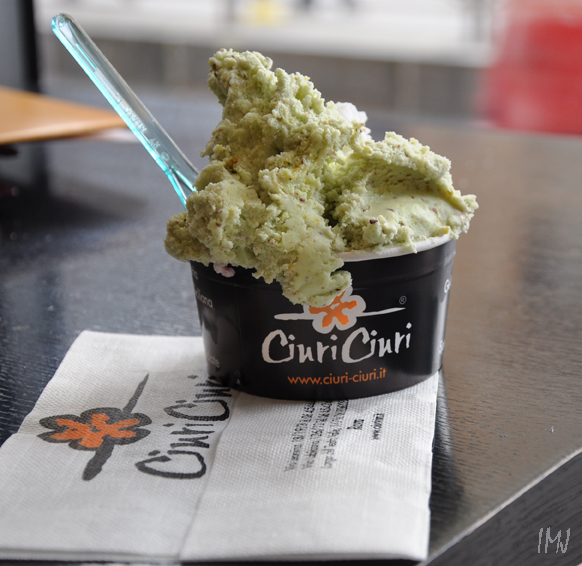
Wherever I go, my roads lead to the ice cream shop. When I unpacked and left my hotel room on St. Patrick’s Day in 2010, I walked to the Colosseum, keeping my eye on the shop windows – and there it was! Via Leonina 18, Cafe Ciuri Ciuri, my personal discovery, Sicilian gelateria-pasticceria, paradise of sugar- and calories-packed deliciousness and the best Sicilian style gelato in Rome. In the photograph, I immortalized my first one, the pistachio-ricotta gelato, creamy, with the unique taste of roasted pistachios. I won’t write about the pastries. It is sufficient to tell that I ate them twice a day. They are that good. Never forgotten.

( Edit: Forgot to mention another Ciuri Ciuri close to Colosseum: Via Labicana 126. The same great food)

I saw the Colosseum from the airplane window and couldn’t wait to visit the ancient monument. I knew about the free admission to the gladiator games in ancient Rome, and was surprised to learn that the times have changed. So I got a combined ticked for several attractions, and my historical holidays began.

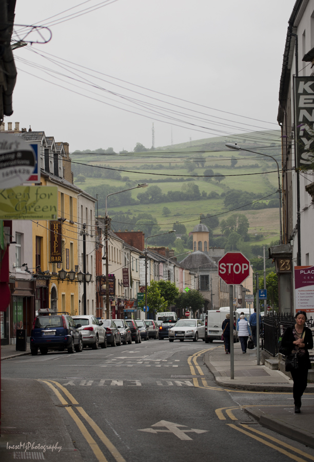
I posted some street scenes from my Rome trip in my blog post People in the streets, and probably in some other blogs too.

Shadowless afternoon, amazing quality of light. I don’t know what these ruins are. The place is situated above the Forum. I was trying to find more images like mine, but there was only one, taken in May 2010. Perhaps, the place is closed for excavations?

colosseum

The broken side of the Colosseum. Over the centuries, it was shaken and damaged by many earthquakes ( the most devastating ones in 847 and 1231), and also struck by lightening and damaged by fires. All the valuable materials were taken away and re-used.

colosseum

Glimpse of Roman centurions’ life.

rome

There is what it looks like inside the amphitheatre. Construction of the Colosseum began in 72 AD, and was completed in 80 AD.  This place has seen the most horrible scenes of bloodshed and slaughter. The advent of Christianity changed Roman culture, morals, principles and values. The last gladiator game took place in 404 AD when an Egyptian monk Telemachus came to Rome, visited Colosseum, and shouted for the gladiator game to cease in the name of Christ. He was stoned to death, but after a few days the Emperor issued a decree that the games were to stop.  Centuries later, when the Colosseum was in danger of demolition, Christians  saved it as a site of martyrdom .

colosseum

Evening light, at about 6pm. I took pictures of Colosseum every day on my way from hotel and back.

rome

River Tiber. I enjoyed the light in Rome, so different from where I live.

rome

St Peter’s Basilica. In my blog Make it light I posted a picture of the interior.

rome

This is a picture I got from Google Earth, just to show the Basilica and the grounds.

vatican

This is the dome I climbed 🙂 I intentionally left all these picture icons. The rule is that people who upload their images for Google Earth, have to map them properly – in exact place where the picture was taken from. I doubt that any picture was taken from the top of the tree …

I used a lift ( 170 steps?) and climbed the remaining 320. With my walking stick. With my claustrophobia.

dome

The lift took me to the roof ( the level behind the statues of the saints, the base of the dome). The roof looks like a small town with buildings and bridges. I walked around, even looked down inside the basilica below my feet, and up to the ceiling.

vatican

The climb is scary, definitely not for the faint of heart ( I overestimated myself, but there is no turning back, by the way). The staircase is getting very narrow as you climb. It is slanted, and curves up between the outer and inner walls of the dome (1m? less?).

vatican

As you can see, the windows are scarce, but there are windowsills. The temperature wasn’t too bad in March, but I would NEVER go there in summer. When there is no one around you, it is OK, but seeing people who actually take all the space of the staircase makes you panic. And I did panic, but at the last moment I saw the window, and I climbed some more steps and fell on the windowsill, almost in coma 🙂 When the others cleared off, I quickly finished the climb.

And this was my reward 🙂

vatican

I think this is the residence of the Pope.

vatican

On my way back I took a picture of these fine guards, and ate a gelato to restore my shaken health.

vatican

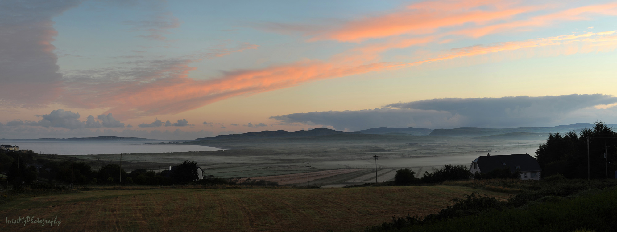
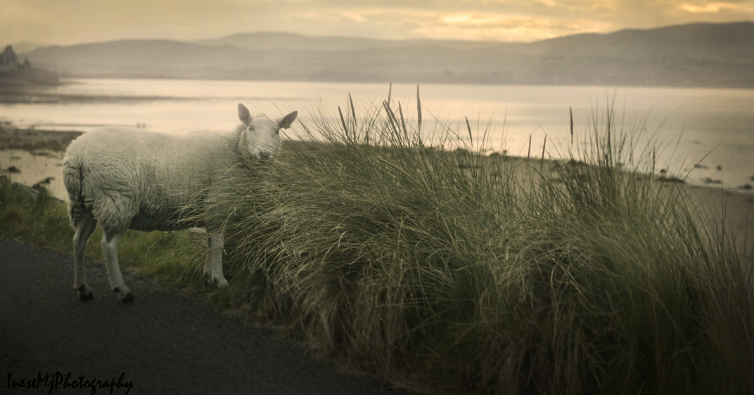
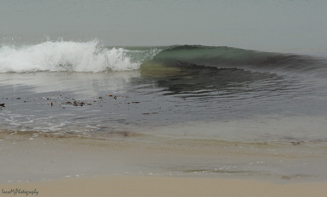
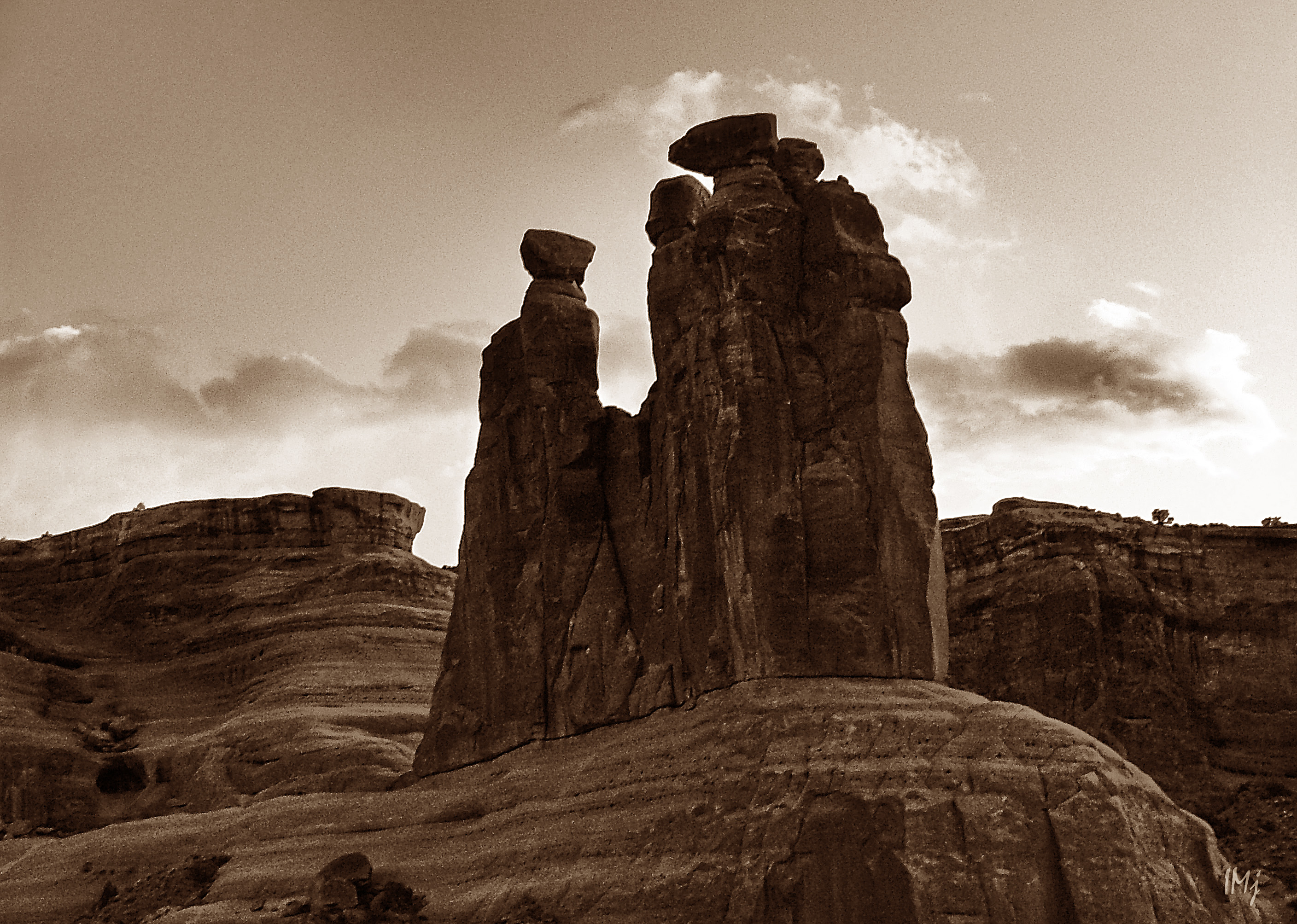
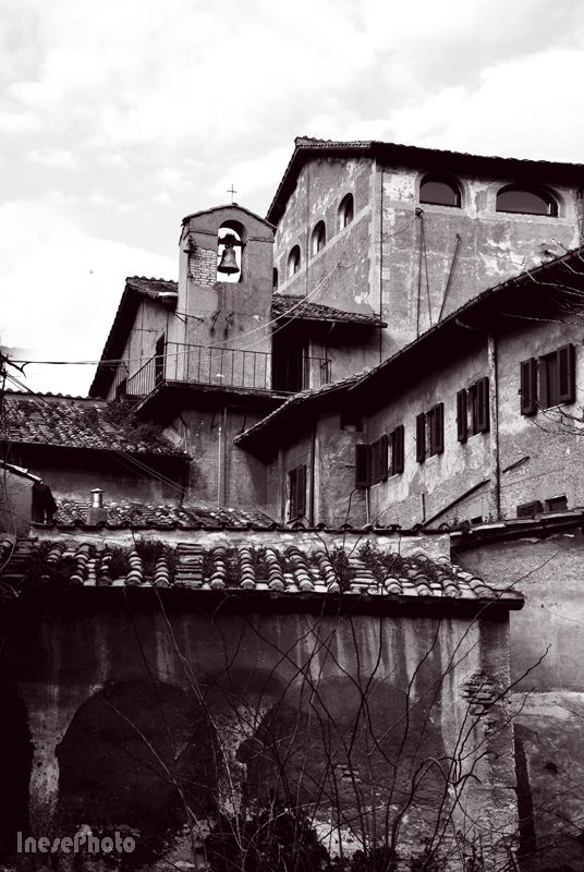
Here are some more pictures.

re4

re32 borne2b

re27b

tivoli

I still miss Rome.

inesemjphotography Have a wonderful Sunday!

Back to the North: Inishowen

inishowen

It is ten years since my last visit to Inishowen Peninsula. Last summer I was close, and you can read about that trip in my  Dark Hedges, Giant Causeway and Rope bridge blogs. This time I had different plans, none of which worked out. Well, except for the main reason why I went to Inishowen, so let’s call it a business trip then – a magic business trip, to be precise 🙂  I will share the details next week after going through my photographs galore,  but in this blog  I just want to share a sad song that mentions Inishowen, because yes, I am very sad,  and I want to go back.

The lyrics:

You maidens of beauty, I’m a swain that’s forlorning,

I carelessly wandered away from my home,

I am off by the moonlight and day break of morning,

I am found in the mountains of dark Inishowen.

I strayed  a place that they called sweet Clonmany

In search of a fair maid who I might adore,

But a maiden for to love me I could not find any

From Meendoran bridge to the Gap at Mamore.

Adieu to the place where I once had a sweetheart,

But now she has left me no wonder I mourn,

When I think of that sweet spot the haunt of that fair one

I pine for her absence in dark Inishowen.

Oh it’s distance divides us in dreams I caress her

For I was as happy as if I was at home,

When I speak to that vision that it bids me compress her

To a bosom that’s pining in dark Inishowen.

I am now sad and lonely since I left her dear dwelling

To repine on that sweet spot I shall never see more,

For I’m off by the wild beach where the salt seas are swelling

From Tullagh’s black rocks to the gap at Mamore.

And now I am stationed in the county Fermanagh,

And I left my wee darling with her parents at home,

If I ever return it will be to marry,

And to wed my wee darling in dark Inishowen.

inishowen

Inishowen is not actually dark. The opening image is the view from my hotel window in Ballyliffin, Co Donegal, taken at the sunrise, and this one is another early morning view I captured when driving along the shores of Trawbreaga Bay, not far away from Malin.  I drove through ” sweet Clonmany” too, but took no photographs ( failed plans as I already said…).

The last image is of water. Not just ordinary water, but the water of Pollan Bay…

wave

This is all for now. More to follow…

IneseMjPhotographyHave a wonderful weekend!

Traveling American Southwest, Part I

three gossips

I have this image of Three Gossips taken in color at the sunset, but I added  gradient and changed color balance to make it look like a distant memory, because I will share some almost forgotten, and for most of you, unknown memories… in my next blog, Part II 🙂 But first, let’s go back to the story about our Southwest travels.

We have made two trips to Southern Utah and Northern Arizona, in 2007 and 2008. Our first trip included:  Arches National Park, Four Corners, Little Colorado River Gorge, Marble Canyon, Grand Canyon, St George, Cove Fort – a round trip  we had made in five days.

There is no photograph that could adequately depict the stunning beauty of Arches National Park. You come there in awe, and you leave in awe. If you are short of time and cannot stay longer than one day,  I would suggest something like that:

Morning – Devil’s Garden Trail and Landscape Arch ( 2 hours) and probably another 2-3 hours if you want to walk to the end of the trail ( we didn’t);  Double Arch ( 30 min); The  Windows ( 1 hour). It is just how long it takes to walk. You will need more time – driving, taking photographs, sitting and admiring the scenery.

Afternoon – Delicate Arch ( at least 3 hours; parking is limited!); Balanced Rock before the sun goes down ( 30 min). Check the map to calculate how long it takes to drive from place to place.

Check out the links to the long and short trails, but regardless of the distance you have to take a lot of water with you.

There are 2000 arches in Arches Nation Park. Well, perhaps 1999, since the Wall Arch collapsed in August 2008.

The best photographs of Delicate Arch come out in the afternoon. We went there first thing in the morning. It made sense because we had no idea how long it takes to hike, and we really wanted to stay there a little longer. Photography wasn’t our priority.

In the first photograph, Delicate Arch is just around the corner. The weather is changing to overcast, and the arch looks differently every half and hour. Sitting there and staring at the arch was one of my favorite activities in the Park. If you have been there you know what I am talking about.

arches

May 24-25 2007 145res

arches

This is the Landscape Arch, or what is left of it after the first slab of sandstone fell off in 1991. Still, it is the longest natural arch in the world with the span of 290 feet.

Arches

It is the Devil’s Garden trail, the most spectacular of all the trails in the park. The weather was changing, and by the time we reached the Landscape Arch, it was raining and we turned back.

Arches

These formations are called “fins”. I mentioned them in my previous blog.

Arches

The rain stopped and we actually visited more arches than expected. We took beautiful photographs of the Balanced Rock half an hour before the sunset, and the Three Gossips a minute before the sun went down.

This is the Window Arch. For the scale, see a tiny human sitting in the left corner.

arches

The following day we started our unhurried trip to the Grand Canyon, a ” hole in Arizona”. It is hard to put the Grand Canyon in words and pictures, and yes, “not all holes are created equal” 🙂 I was standing there speechless and almost breathless.

South Rim, Colorado River. Here we spent a day, hiking around and down in the canyon.

Grand Canyon

North Rim, the following day. There, we took a short  but breathtaking  Bright Angel Point trail.

GC

We walk along the narrow ‘peninsula’, surrounded with the stone ‘waves’. At the end of the trail, The Bright Angel Point, most of people just stand and stare across the vast expanse. It is difficult to believe that this  is all real. I think you will love reading this very informative and very poetic article about the area down there.

angel fault

Reading displayed information I had to smile. What is the Bright Angel Fault?  As I learned, faults are fractures in the Earth crust that occur under the pressure – compression, extension or side-by-side movement. The Bright Angel Fault is such a fracture that stretches almost straight across the Grand Canyon from the South to the North through the Bright Angel Canyon, which was formed through erosion along the fault.  Yes, the view that we see at the view point is not technically the Grand Canyon, but a side canyon,  the jagged border ridge of the Bright Angel Canyon!

The Bright Angel Fault is still active and has produced small earthquakes that visitors sometimes feel. The fault is visible as  a 186 foot displacement: you can see it in the image of the distant South Rim, where the left side of the horizon line is visibly higher than the right one (sorry it is heavily zoomed and taken with a 3 mp camera)

angel fault

I have read a lot about the side canyons, and I still have more questions than answers. I know that I will never hike the Grand Canyon and see everything by myself. I can only pray that the people who go there in the future are considerate and respectful to the Nature.

Little Colorado River Gorge, and Marble Canyon and Navajo Bridge are worth to mention not only because they are located on the way to Grand Canyon National Park and to stop there seems like a natural thing to do. These places are beautiful.  Cross both  – New and Historical Navajo bridges, and enjoy the emerald color of Colorado river if you travel early in summer. Little Colorado river is a bright  blue color, but later when the rains start, they both become chocolate milk  brown, and as the saying goes ‘ too thick to drink, too thin to plow’. Marble Canyon and  the Grand Canyon join where the Little Colorado River enters the Colorado River.

In the image below, a view from the Old Navajo bridge.

colorado river

On the way back, we had a stop in St. George, UT,  and visited their Pioneer Park.  We climbed up the Dixie Rock for the downtown panorama, and I can tell you that the place is certainly worth to stop by.

Our last stop was the Cove Fort, with their curious exposition of the 19th century artifacts, workshops and the Big Barn. Lots of history, with no admission fee ( the place belongs to the LDS Church).  We even learned how to play the long forgotten game! 🙂

cove fort

There is a wonderful book  – Travelers’ Tales, American Southwest: Arizona, New Mexico, Nevada, and Utah… A great read when you feel nostalgic.

The other trip was also a five days long trip : Coral Pink Sand Dunes, Lake Powell and Rainbow Bridge, Horseshoe Bend, Upper Antelope Canyon, Monument Valley, Mexican Hat, Utah State Route 261 and Moki Dugway, Natural Bridges National Monument,  Utah State Route 95 across the end of Glen Canyon, and a long drive through the breathtaking canyon country up to Salt Lake Valley.

As I said, we travel with no hurry. We stop to admire buttes and mesas; we  even climb them sometimes. We buy Native American jewelry made from  seeds,  beads and semiprecious stones; we watch the wildlife and marvel at the flowers bravely standing out against the barren rocks. One cannot plan discoveries and surprises.

desert

desert

On our way to Page, AZ we turned into the side road to check out a  unique place, a part of Zion National Park – Pink Sand Dunes.

Pink sand Dunes

It was fun to run down the dunes, and it is where I lost my wide angle lens…

We stayed in Page three nights exploring the area. Horseshoe Bend was one of the places on our list. I failed to take a good picture, but my daughter had a good fun taking pictures of me wriggling on my belly towards the rim with my camera holding hand outstretched, and with the mortified face. Due to the embarrassing nature, these pictures may not be published.

horseshoe

We went there again after dark. The full moon lit up the waters of Colorado River; wildlife enjoyed the coolness of the night, and we enjoyed watching the cottontails happily run around. I didn’t get any braver, and this sorry picture is the best  I have got.

Horseshoe bend

Another place on our list was  Antelope Slot Canyon. Probably many of you have heard about the tragedy that happened there in August 1997. We went to the safer and easier of the slots, the Upper Antelope Canyon ( the Upper and the Lower slots are a few miles apart) . All the land around Page, including Antelope Canyon,  belongs to the Navajo Nation. It is a family business, and we got a handsome young man for a guide, a University student who was on holidays at that time, and not only gave us photography tips, but also played the flute for us.

Antelope Canyon is one of the most mesmerizing places on Earth, where the light is everything. The corkscrew walls polished by flash floods change their color every second as the light bounces between the twisted columns. In the image below – Slot entrance.

slot canyon

Images taken inside the canyon, available light.

Antelope Canyon

Antelope Canyon

In my next blog, I will cover the rest of our Lake Powell trip, and reveal my first (and last) celebrity crush from the 1960s 🙂

IneseMjPhotographyHave a wonderful weekend!

Bryce Canyon National Park- the home of the Hoodoos

Bryce Canyon

If you visit Utah National Parks, Bryce Canyon should not be missed. It is (surprisingly) not as popular as Zion and Moab. It is not, technically, a canyon, but rather a giant natural amphitheater created by erosion, yet there is no other place in the world that features as fine and abundant collection of hoodoos as Bryce. The park is family and wheelchair friendly, and has an ample parking. There are drinking water fountains around the parking lots, and all the necessary facilities. You can hike a whole day or only an hour, you can just walk along the rim, or just stand and look around – you will still enjoy yourself.

However, you should know that it is a high altitude location (above 8000 ft – up to 9000 ft). The trails vary from easy to moderate and strenuous; the descents and ascents are very steep though, and it could be very hot down there at the foot of the hoodoos. Do a good research before you pick up a trail. Thankfully, because of the high altitude it is always a bit cooler on the rim, and also thunderstorms are quite common in the area.

We paid $30 for a vehicle which gave us a 7 day access to the park.

What is “hoodoos“? Read this link, you will love it (all the links open in separate windows). In Bryce, most erosion occurs from “frost wedging” – rain water freezes and expands in the cracks of the rocks. You can find all the stages of erosion during your hike, from plateaus to fins and finally hoodoos. The process never stops, and when you come again, it will be a different Bryce.

Hoodoo has nothing to do with Woodoo, yet  in Blackfoot mythology, the oddly shaped rock columns were some malignant giants whom the Great Spirit had turned to stone because of their evil deeds. Deep in the night, the petrified giants would wake up and throw boulders down upon any human who dared to hang around. I wouldn’t be surprised, since some rocks do look like they are barely balancing.

Geology of the hoodoos is fascinating, but the look of them is something you will never forget. The colors vary from brown to red, orange, pink and ivory, and change during the day and the weather. A few steps to the left or right – and you enjoy a different angle, different shapes and hues. You cannot get bored in Bryce.

Click on the photographs to enlarge. They are all resized to resolution of only 72px.

Bryce Canyon

Bryce Canyon

Bryce Canyon

Bryce Canyon

Bryce Canyon

Bryce Canyon

This huge natural bridge is spectacular. We have seen a smaller one too.

Bryce Canyon

Bryce Canyon

Our youngest team member is two, and we considered the shortest trail, the Navajo Loop that took us some 2 hours. Yet, you should be aware that more rocks fall on this trail than any other trail in the park. The last major rock slide occurred in 2011 though.

The trail begins to descend very steeply – don’t make it back to the rim this way! The series of switchbacks are very short, thankfully, but extremely steep anyway.

Bryce Canyon

Bryce Canyon

Bryce Canyon

The trail passes through Wall Street, a narrow slot between the cliffs, and takes you to the canyon floor. In the image below – entering the Wall Street.

Bryce Canyon

bryce canyon

A look back.

Bryce Canyon

Surprise greeting from a local resident. The little guy was very fat and had no fear of children. We took some hundred photographs of him and the kids.

Great views from the bottom of the canyon.

Bryce Canyon

The Inspiration Point – the highest point in the Park. We stood there a day before. Under our feet there is a river bed.

Bryce Canyon

The little legs are tired. It is time for a break and some snack.

We settled for a break, and there was another beautiful opportunity to take a photo. This Jay loved our company.

Bryce Canyon

Bryce Canyon

Bryce Canyon

Full of energy, we proceed.

Bryce Canyon

Bryce Canyon

Some great views on the ascent.

Bryce Canyon

Bryce Canyon

Bryce Canyon

The ascent was not that steep, or perhaps I just lied to myself… Still I felt dizzy two times and had to stop for a minute. Didn’t take many pictures, was focused on surviving 🙂

In the image below – the ascent trail, a view from the rim.

Bryce Canyon

We had a lovely drive and stopped at almost each point on our map. The rain was coming and going. Unfortunately, we didn’t see any rainbow, and only a few distant lightning strikes.  In addition to that friendly Chipmunk and the curious Jay, we saw some Mule deer.  No Rattlesnakes again, darn it!

Bryce canyon

We loved our hotel, it was outside the Park. We loved the Rock shop, and all the funny props for children photographs, like Jail, Wooden Horse and Wooden Bears. We loved the stunning little Red Canyon where we made a stop and a short hike.

red canyon

red canyon

Thank you for taking this trip with me. If you ever have a chance, visit scenic Utah and enjoy a real adventure.

IneseMjPhotographyHave a wonderful weekend!

William Despard Hemphill, Clonmel, County Tipperary

Clonmel

Clonmel is one of my favorite towns in County Tipperary – a place rich of history, and surrounded by beautiful landscapes. If you travel Ireland and are interested in photography, it is a place to visit for many reasons.

In 1840 an instruction manual in the use of the daguerreotype was offered by the Dublin Mechanical Institute and the natural Philosophy Committee of the Royal Dublin Society purchased a camera for taking daguerreotypes in the same year. Photography started its journey in Ireland.

Photography was quickly taken up by Ireland’s professional and landowning classes and the residents of Ireland’s big country houses. One of Ireland’s pioneering photographers, William Despard Hemphill was a native of Clonmel

William Despard Hemphill (1816–1902) was born into a large professional middle class Church of Ireland Tipperary family in 1816. After graduating University of St Andrews, he returned to Clonmel and had a successful medical practice, being doctor to both the Lunatic Asylum and the Prison.

Clonmel

Dr Hemphill composed and played music, was an avid orchid grower, turned ivory ornaments and was interested in archaeology, geology, and Waterford glass. He experimented with the latest photographic techniques, won several prestigious awards, and left a vast historical photography record of the 19the century scenes and people. He won fourteen prizes in Dublin, London and Paris. His photographs were praised for excellence of composition and artistic taste.

William Despard Hemphill is best known for his book ‘Stereoscopic illustrations of Clonmel and surrounding country, including Abbeys, Castles and Scenery. With descriptive Letterpress’, which was printed in Dublin, in 1860.

Stereoscopic photography recreates the illusion of depth by utilizing the binocularity of human vision. Stereoscopic photographs, or stereographs, consist of two nearly identical photographs  – one for the left eye, one for the right. Viewing the side-by-side images through a special lens arrangement called a stereoscope helps our brain combine the two flat images and see the illusion of depth. Stereoscopic photographs became very popular after Queen Victoria and Prince Albert received the gift of a stereoscopic viewer at the Crystal Palace exhibition in 1851.

Dr Hemphill’s  “Stereoscopic Illustrations” book comprises two volumes – one is the stereoscopic photographs themselves, the other – the descriptive text. The work is extremely rare; it was never available to the general public, and possibly only distributed  by Hemphill to his aristocratic friends in South Tipperary. Each known copy is unique and differs from the others. The National Library lacks all the photographs. Clonmel County Museum has two full copies containing the photographs, however, they are not on display for the general public .

Clonmel Library has a copy of the volume containing the descriptions to the photographs (no illustrations). If you ask, they will give you the book and you can read it all – 102 pages. It is printed in red & black, with the decorative red border vignettes. A sonnet written by a well-known, or anonymous author, or by William Despard Hemphill himself, opens each chapter. The volume opens with two quotes written in Greek and Latin – by Lucian and John Dryden respectively.

Hemphill

I went around the town to recreate some of Dr Hemphill’s photographs. The bits of information about the scenes I took from that famous book.

In 1857 Dr Hemphill photographed St Mary’s, Clonmel, his parish church shortly before the reconstruction and alteration works. The Western Wing was not altered and looks the same today.

Hemphill

Clonmel

This image depicts a part of the Eastern Wing that was altered during the reconstruction works and no longer exists.

Hemphill

This image of the Quay is taken from a boat. Commercial barges like this one were used before the railway was built in 1854.  Some buildings along the Quay are still there, but the Manor Mills in the background have been demolished.

Quay, Thro’ The Arch Of The Bridge, Clonmel ( 1857-58)

Hemphill

Clonmel

Scot’s Church, Anglesea St, Clonmel (1857-58) with its pretty little Ionic portico

“Clonmel, the assize town and capital of the County of Tipperary, is situated on the River Suir, which here separates the Counties of Tipperary and Waterford, and is built principally on the north side, and partly on some islands in the river, which are connected with each other and the town by bridges of considerable antiquity.” (Descriptive text by William Hemphill)

Hemphill

In the street, you can see a car. It is a Bianconi long car. Bianconi was an Italian man who settled in Clonmel and became a Father of Public Transportation in Ireland. The headquarters of Bianconi’s Transport was in Parnell St nearby.

Otherwise the street hasn’t changed.

Clonmel

Clonmel

Another beautiful place that still exists is The Patrick’s Well and Church.

Hemphill

An old lady selling some religious souvenirs used to sit at the tree every day.

This is what the Patrick Well site looks these days. No one is selling souvenirs any more, but an old man, David, is there almost every day ready to answer your every question about the site and its history.

Clonmel

Clonmel

Clonmel

There are some changes inside the Church. The altar had to be removed because of the repeated acts of vandalism, and only the base of it remained intact. David showed me some carvings I wouldn’t have noticed otherwise: a figure of Jesus with the fields and buildings of Jerusalem in  background.

Hemphill

Clonmel

And here are a few more pictures of Clonmel taken over the years. Different seasons, different vantage points, different moods. Lovely town that has a tiny Tourist office in the Mary’s church premises, because there are very little tourists.  A gem that is not hidden, just overlooked.

Clonmel

Clonmel

Clonmel

Clonmel

Clonmel

Clonmel

So, back to Dr Hemphill again. His home was demolished and a shopping center was built where a beautiful garden used to be.

Clonmel

I went to the parking lot and asked random  people if they knew who William Despard Hemphill is. Two elderly gentlemen knew to tell me about the Hemphills’ estate. Not that he is completely forgotten – in 2013, Clonmel County Museum presented a stunning exhibition of the photographs of William Despard Hemphill – Silent Exposure. It was my first experience viewing stereoscopic photographs.

I went to his parish church graveyard and found his grave. There is a beautiful Celtic cross with the inscription that says: The memory of the just is blessed.

Clonmel

Thank you for walking the streets of Clonmel with me!

IneseMjPhotographyHave a wonderful weekend!