Suir Blueway

Blue Way of County Tipperary V

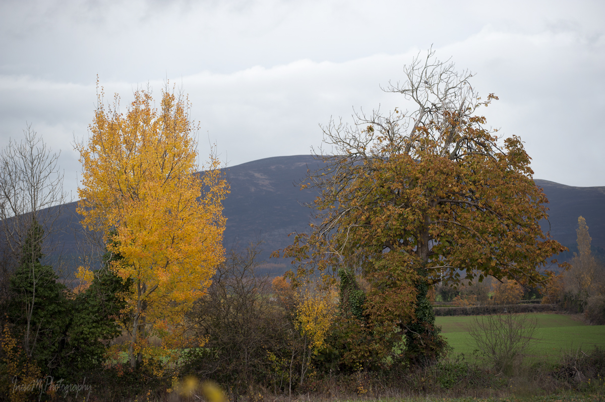
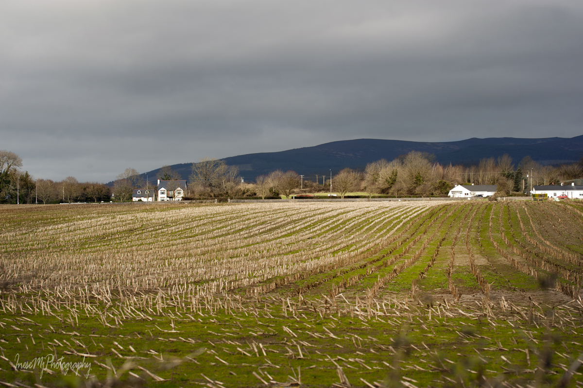
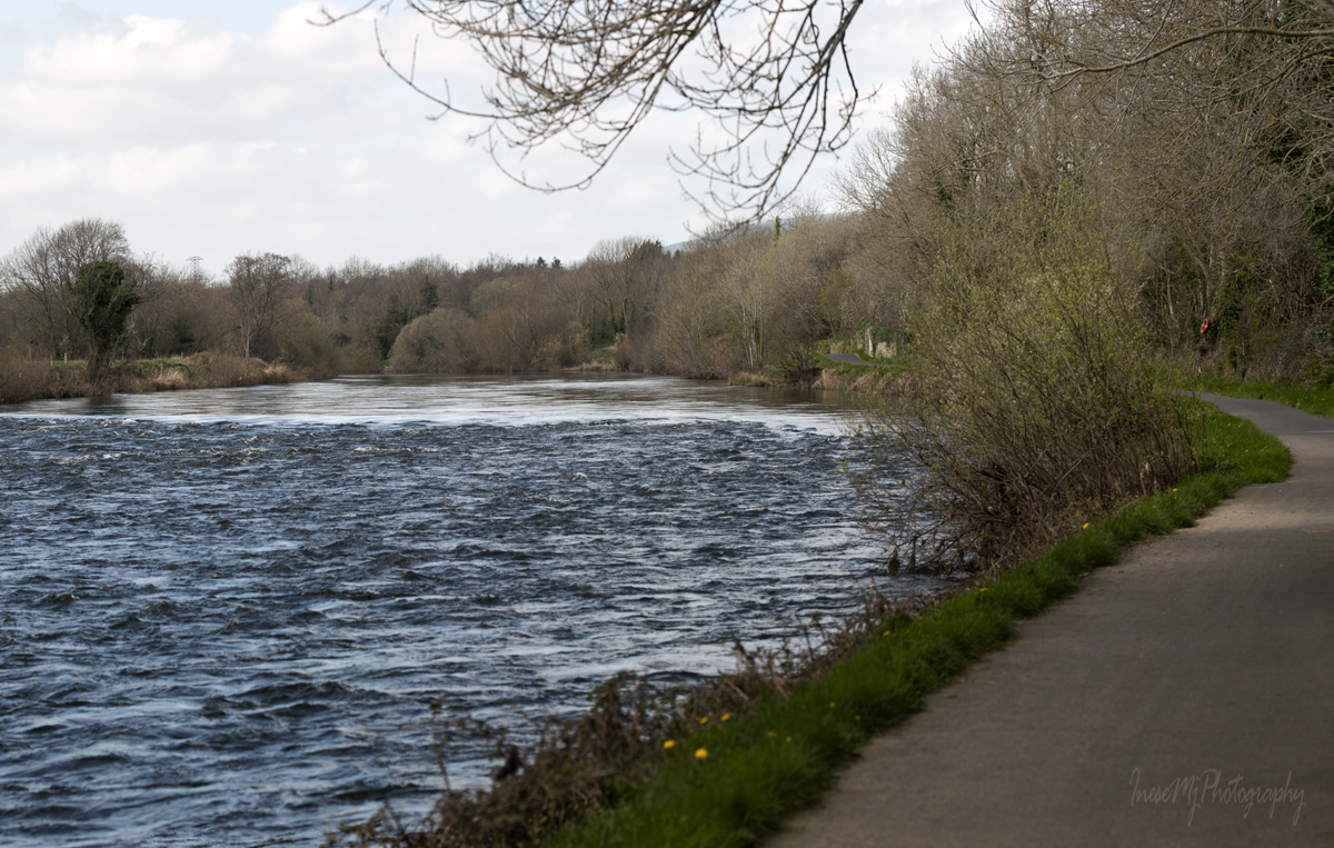
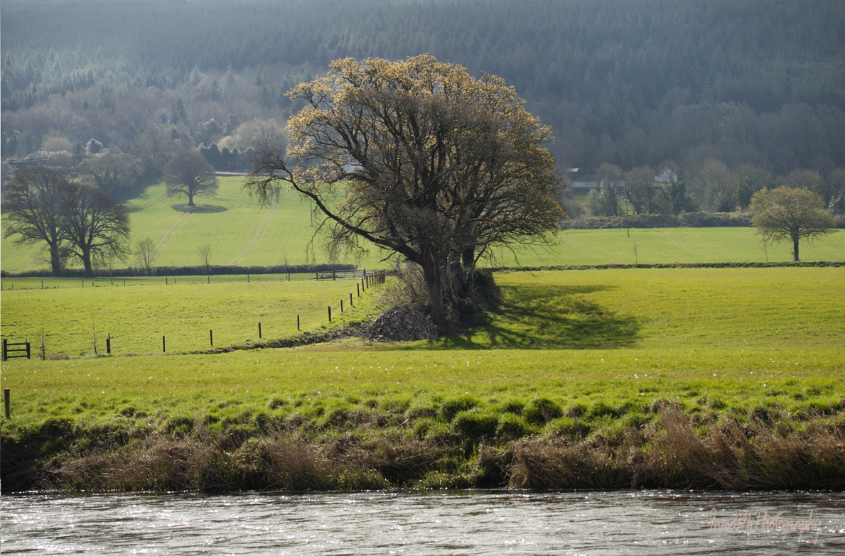
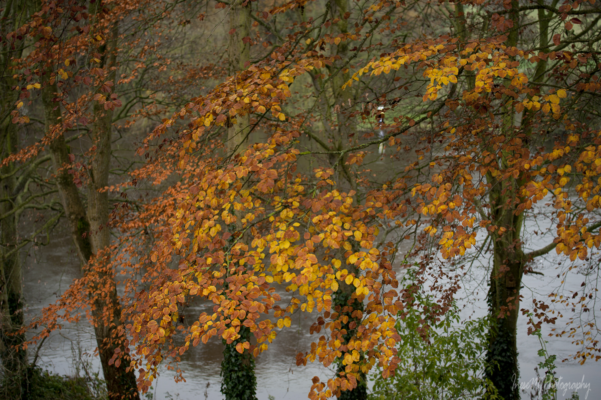
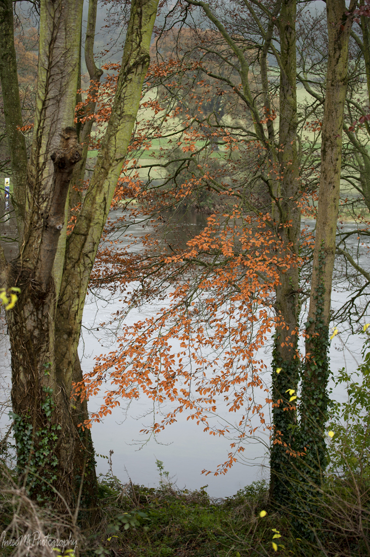
The last leg of our walk begins. The season is early spring. Some old, pre-Blueway pictures from the other seasons are added just because I have hundreds of them 😉

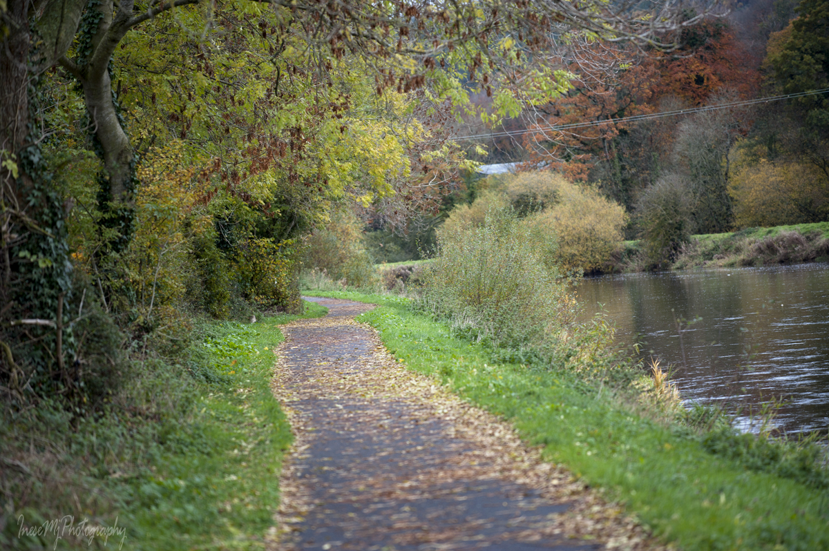
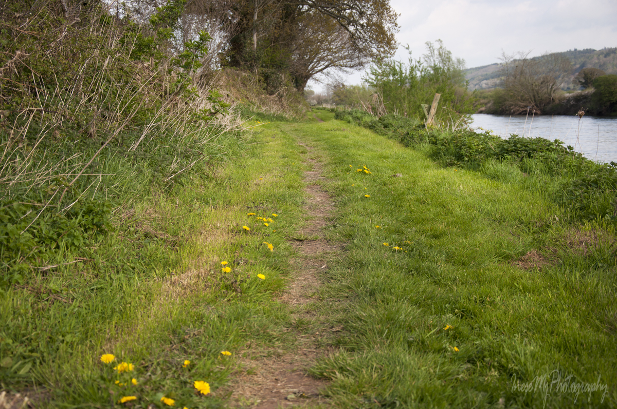
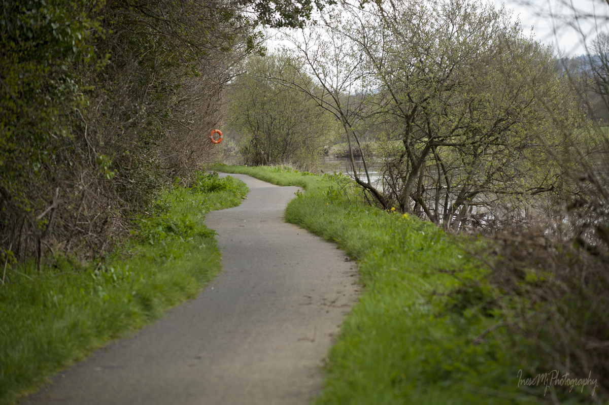
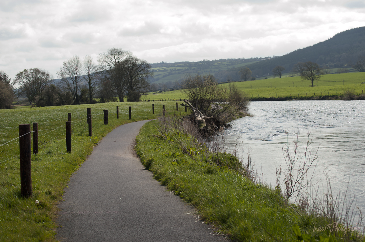
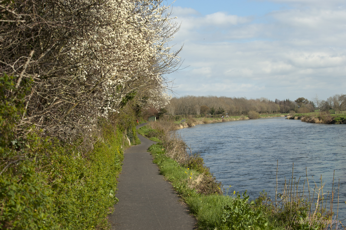
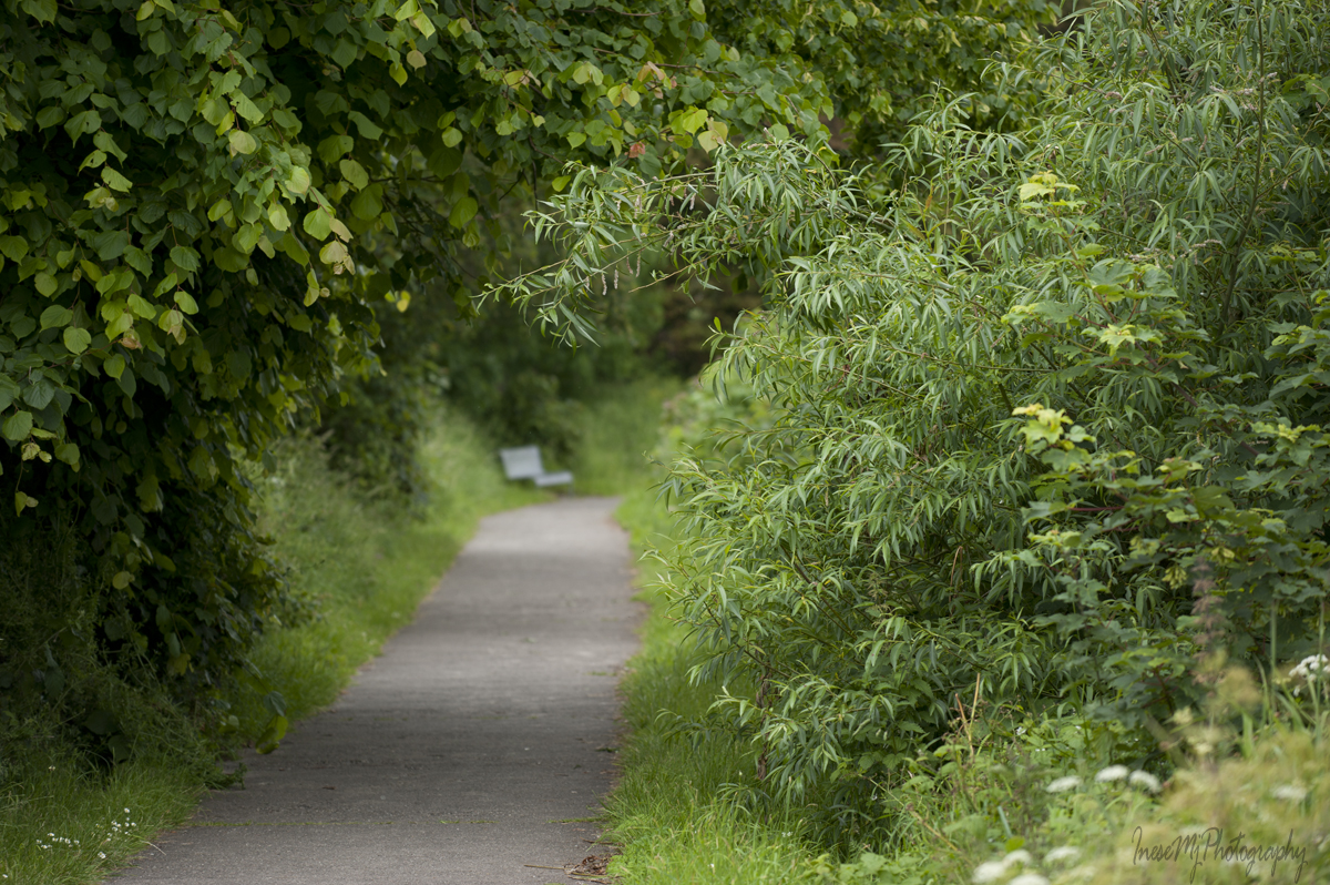
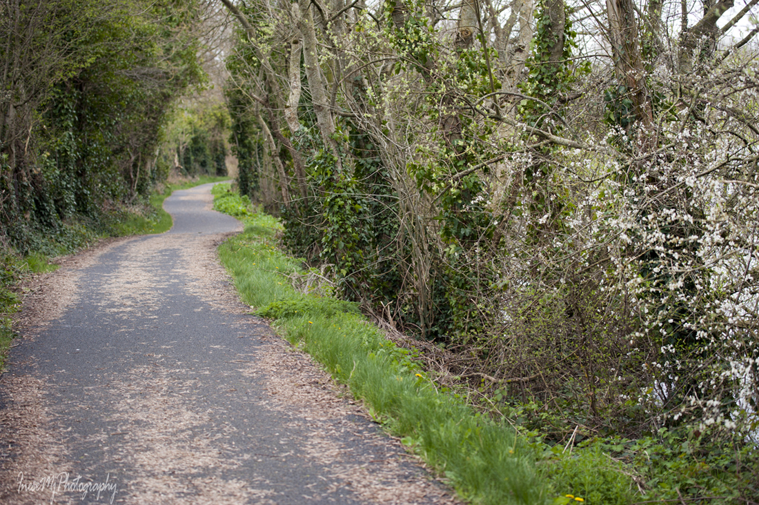
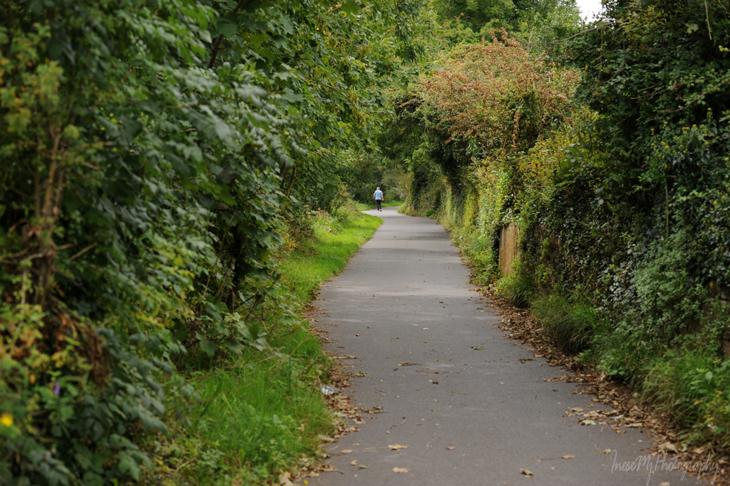
I stop and look both directions down the winding path.

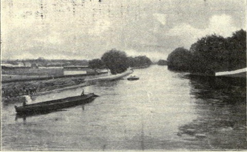
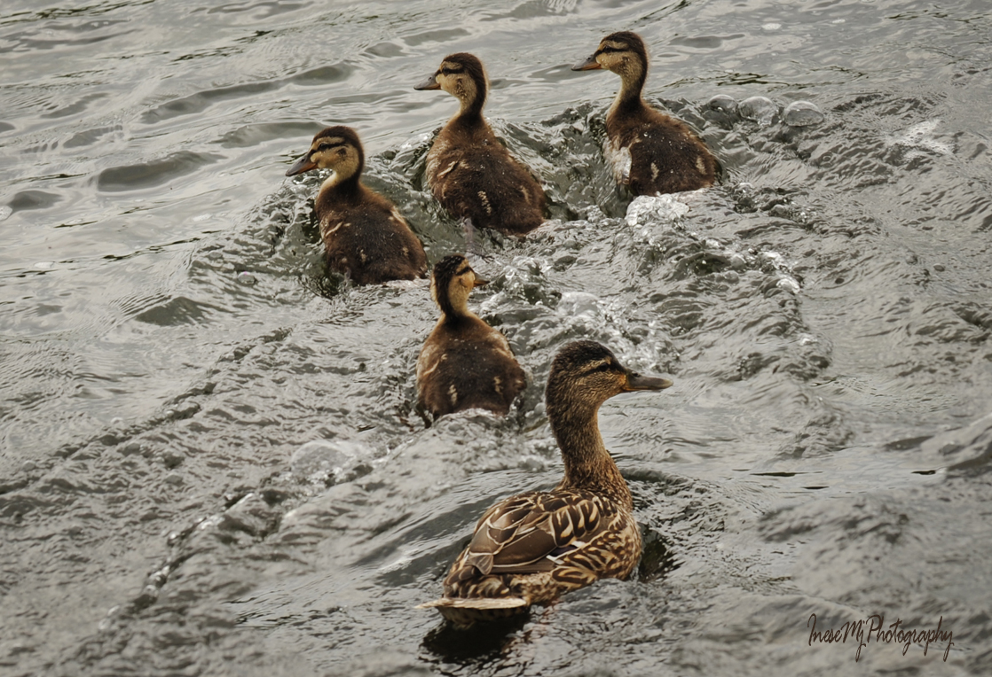
That’s how it looked only a few years ago. It was a refuge for the stressed-out humans and nesting place for birds. I loved it.

Fragrant Meadow Sweet used to grow waist-high at the water edge. It probably was there for millennium. A sacred herb to the Celts, it was used in potions to treat skin problems, and as a floor covering for warmth and hygiene.

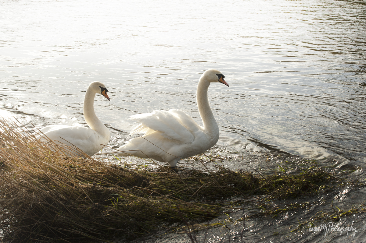
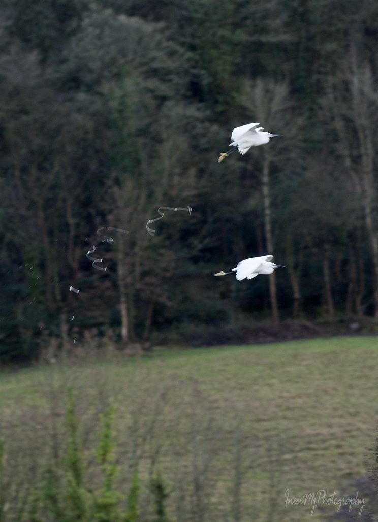
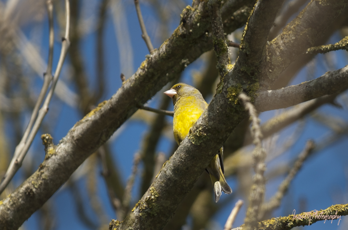
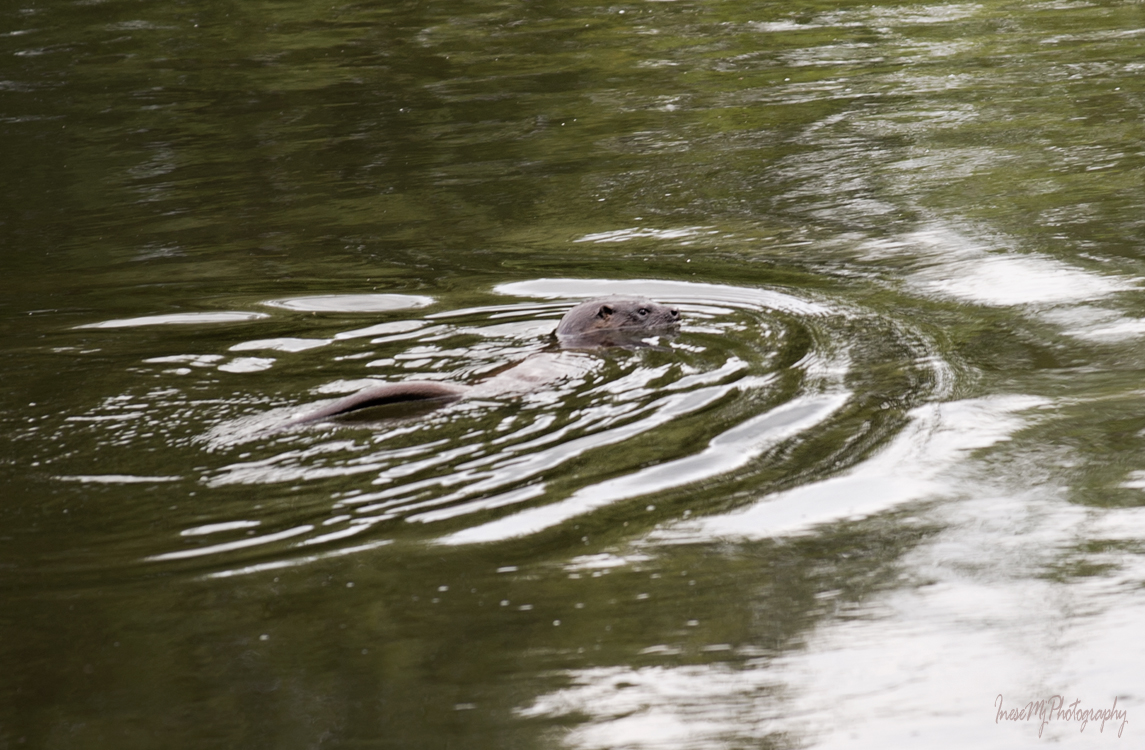
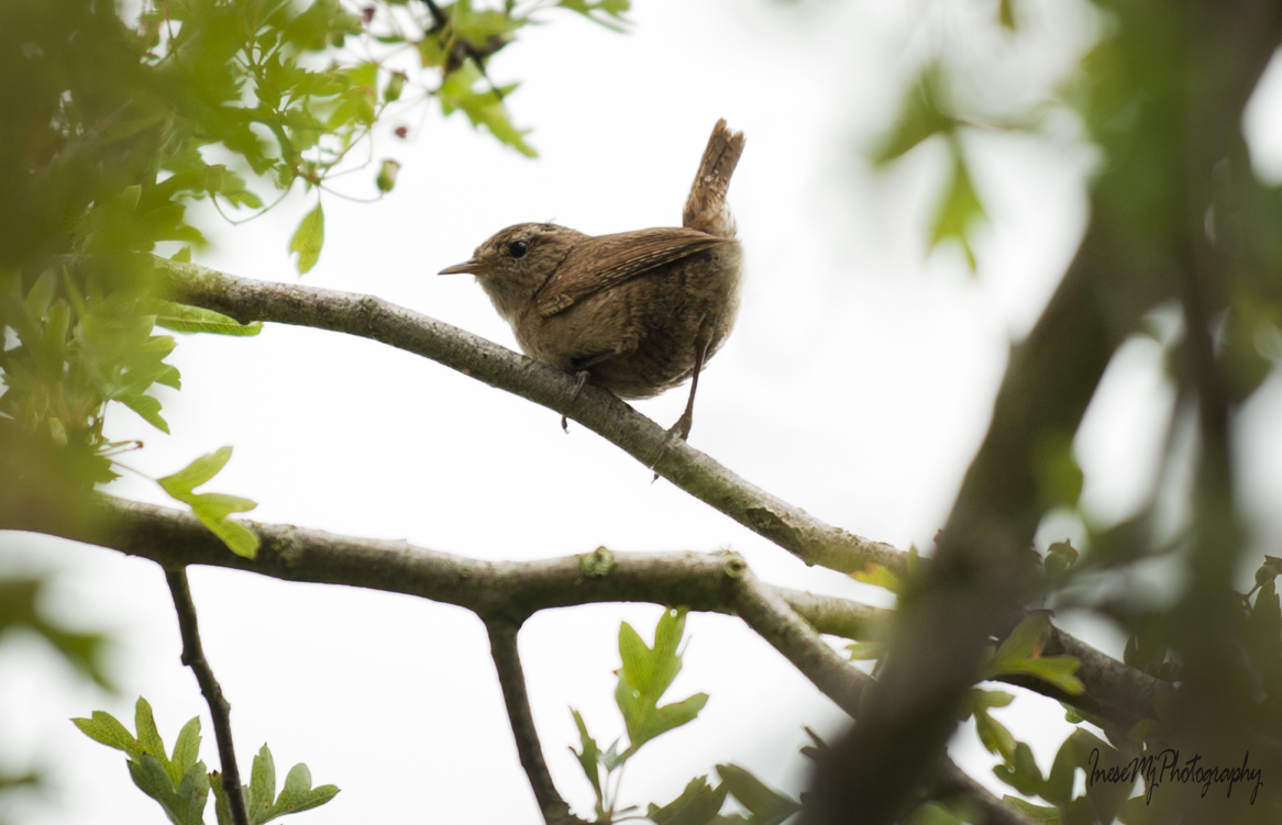
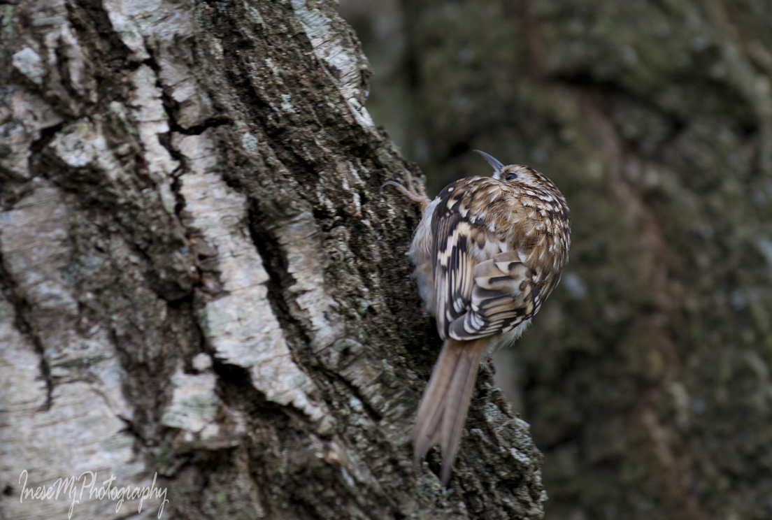
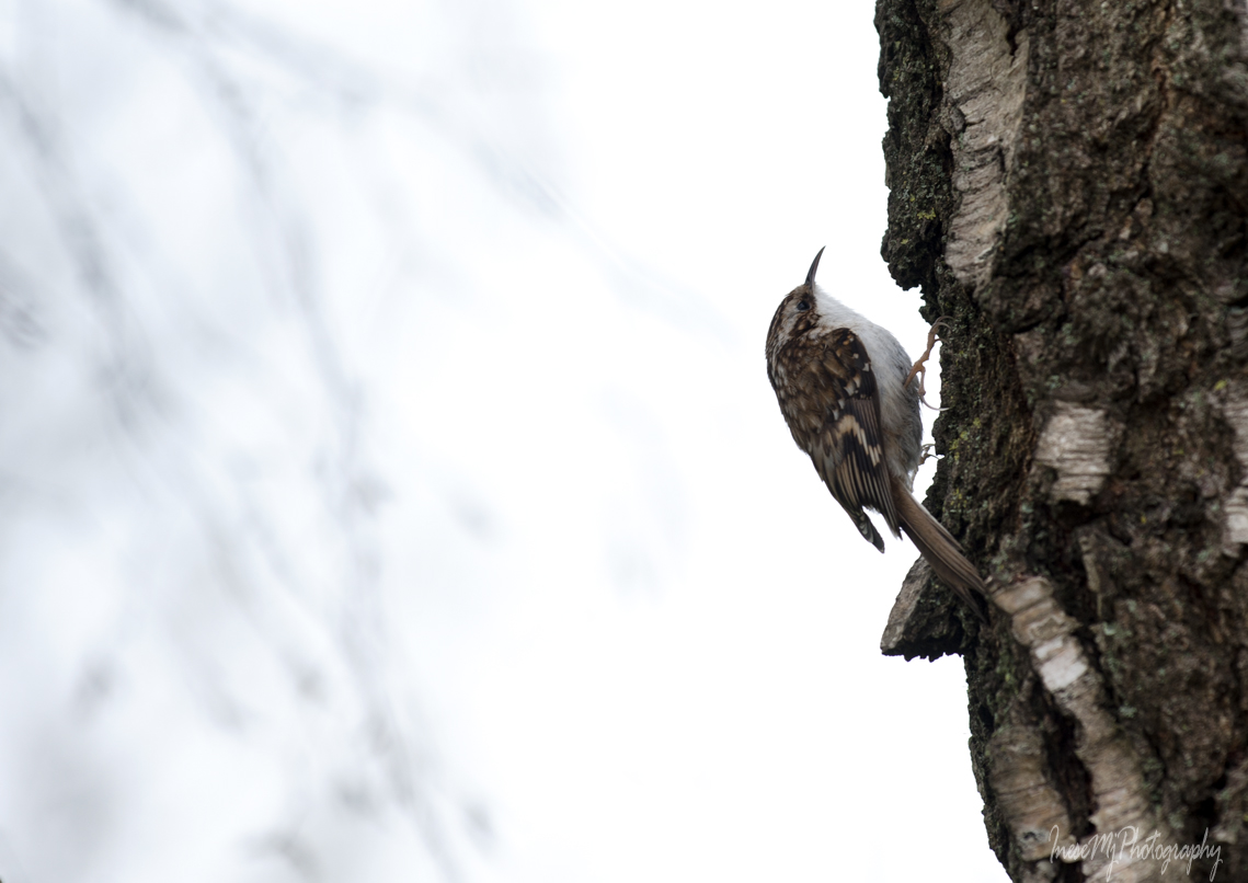
And there are birds, of course. Chaffinches, robins and starlings are year-round residents in Ireland. Chaffinch is a long-living bird, and raises one brood each year.

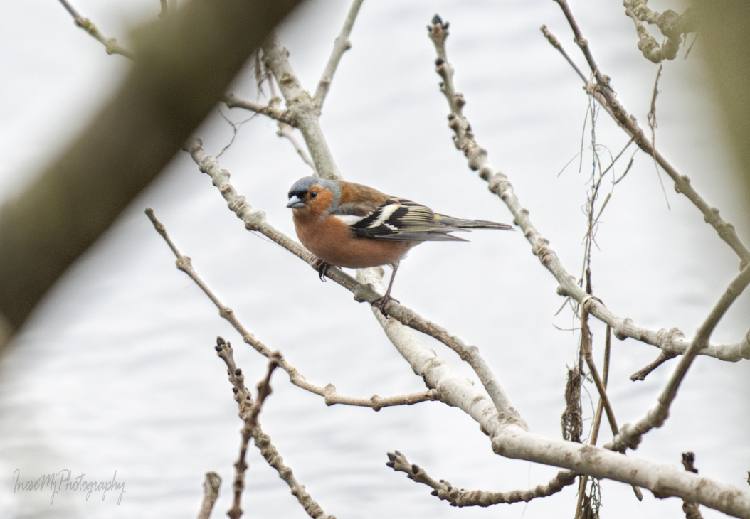
Robin and starling live only 2-3 years, often even less, and raise three broods a year. I have seen robin fledglings in early October.

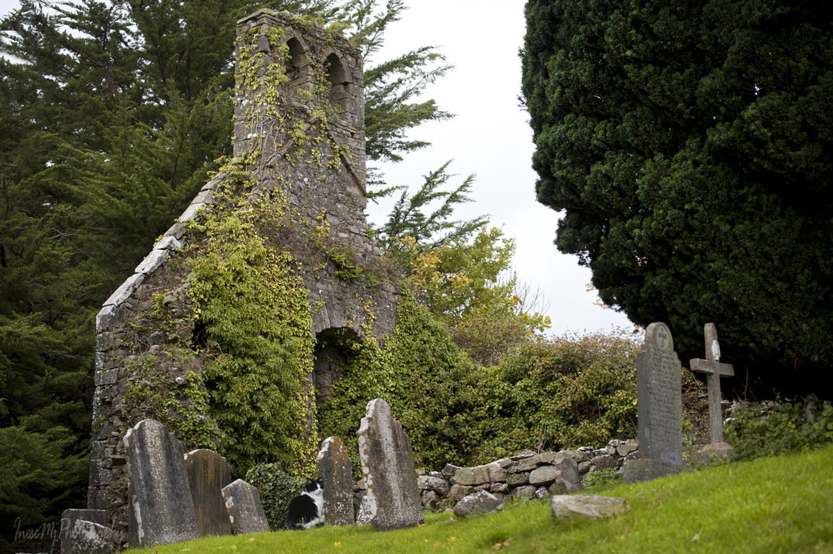
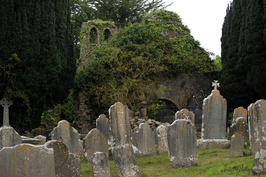
Halfway to our destination, there is a ruined church and graveyard we will visit some other day. The graveyard is the resting place of Catherine Isabella Osborne, an Irish artist and patron. She was interested in photography and supported William Despard Hemphill’s photography projects. He dedicated his collection of photographs of Clonmel to her in 1860.

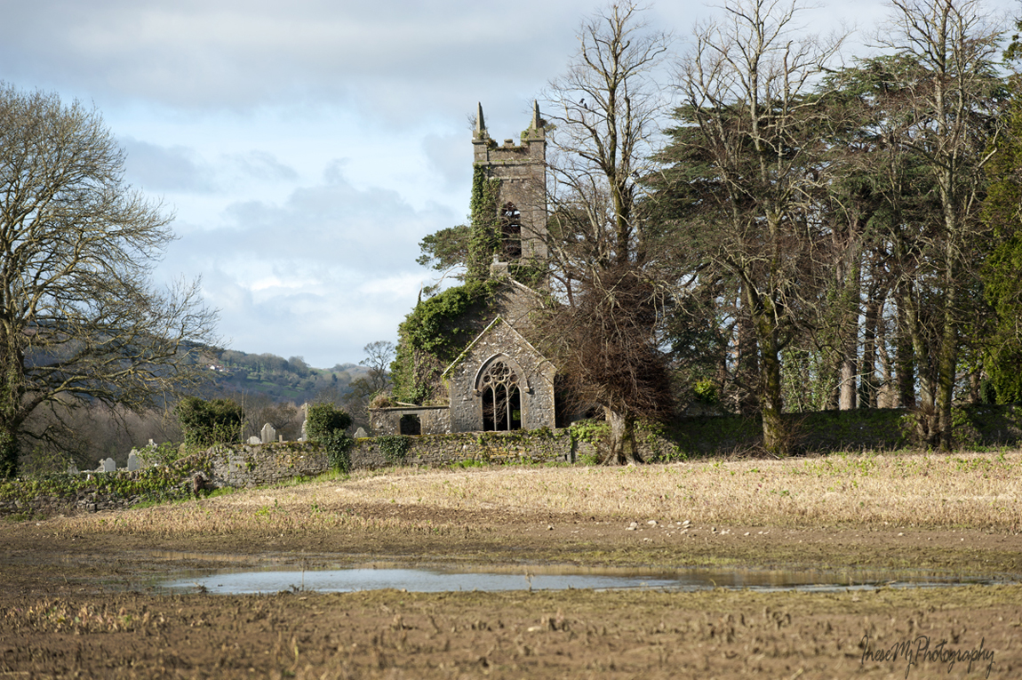
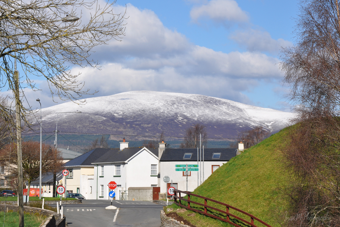
Killaloan church looks timeless with majestic Slievenamon in background.

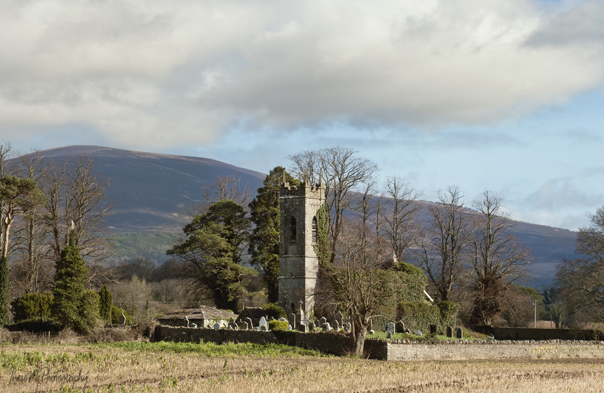
At the opposite side of the river, heather-clad slopes of the Comeraghs come into view. River Suir runs all the way along the Comeraghs and turns north near the village of Newcastle at the foot of the Knockmealdowns.

We walk past a memorial stela and stone bench. The memorial was erected by the family of Peter Britton who along with his climbing partner Colm Ennis died in a fall in the French Alps in 2014. Mr. Britton was the Senior Roads Engineer with Tipperary County Council remembered for his role in the Blueway project.

River Anner, a tributary, slips under the bridge into River Suir.

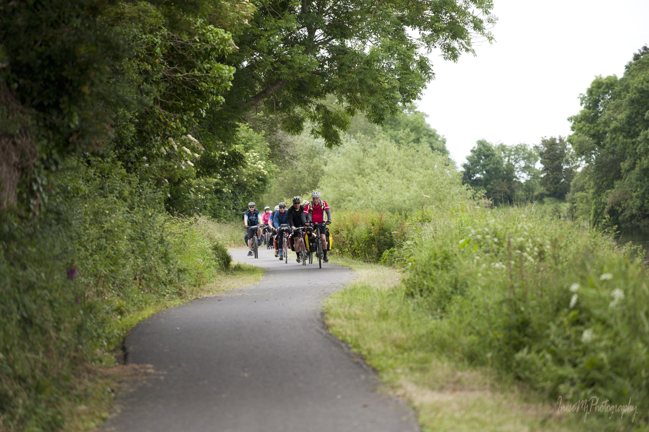
It is not unusual to see Clonmel Riding Club members on the towpath…

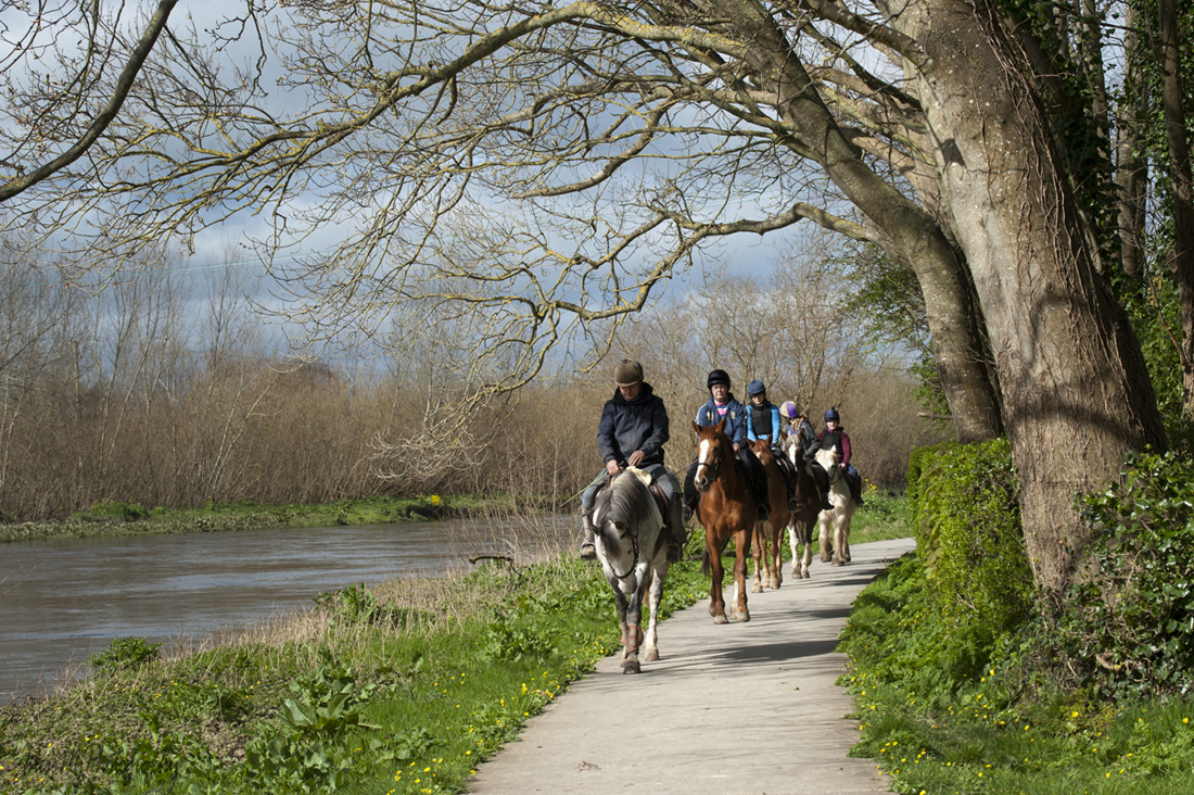
…but the galloping ponies on the opposite bank came as a surprise.

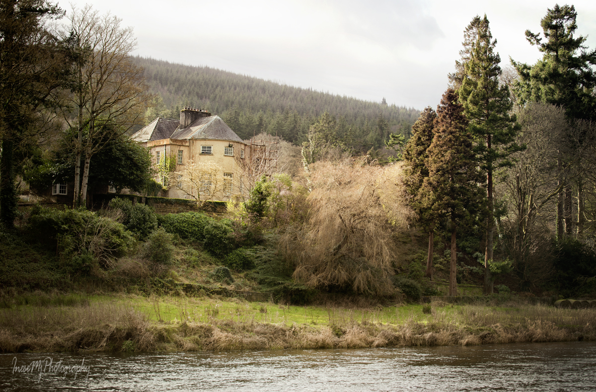
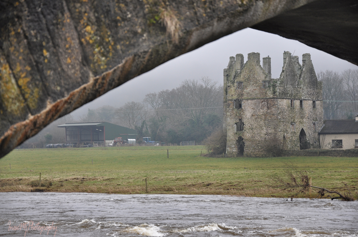
We are approaching another beautiful landmark – Sir Thomas’s Bridge. This six-arch humpback bridge was built in 1690 by Sir Thomas Osborne who had lands on both sides of the river. He resided in the three-story Tudor style house built almost a century earlier by Alexander Power.

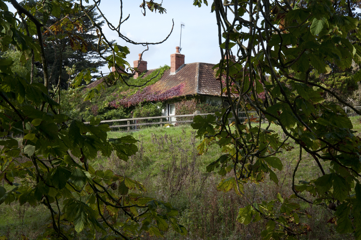
This is a closer look at the house. It is often called Tickincor Castle and has been in ruin since the 19th century.

A view of Sir Thomas’s bridge from the opposite bank. The same as Kilsheelan bridge, it has a dry arch for pedestrian use. The bridge has never been widened or altered in any way.

Another interesting fact about Sir Thomas’s bridge is that in the times of horse-towing, the whole team had to enter the river to pass underneath the arch. Accidents happened and the boats got wrecked there.

Another view from the opposite bank. You can appreciate the height of the arches.

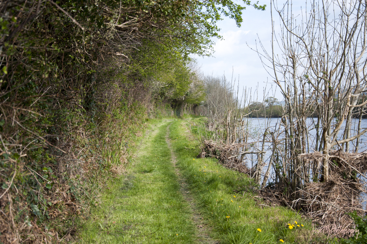
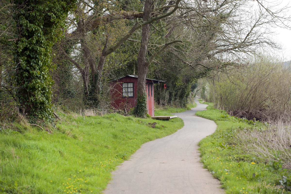
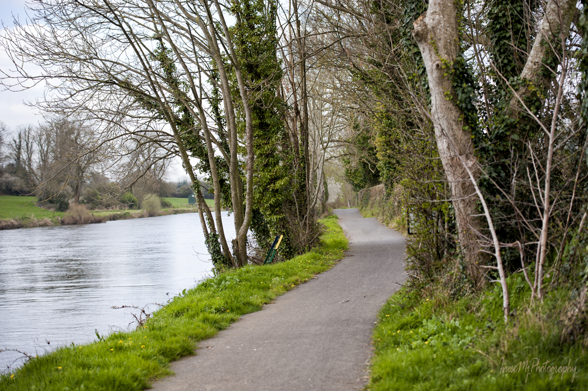
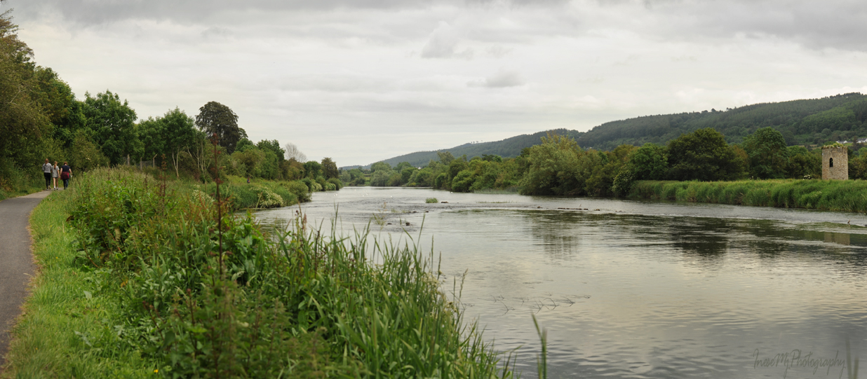
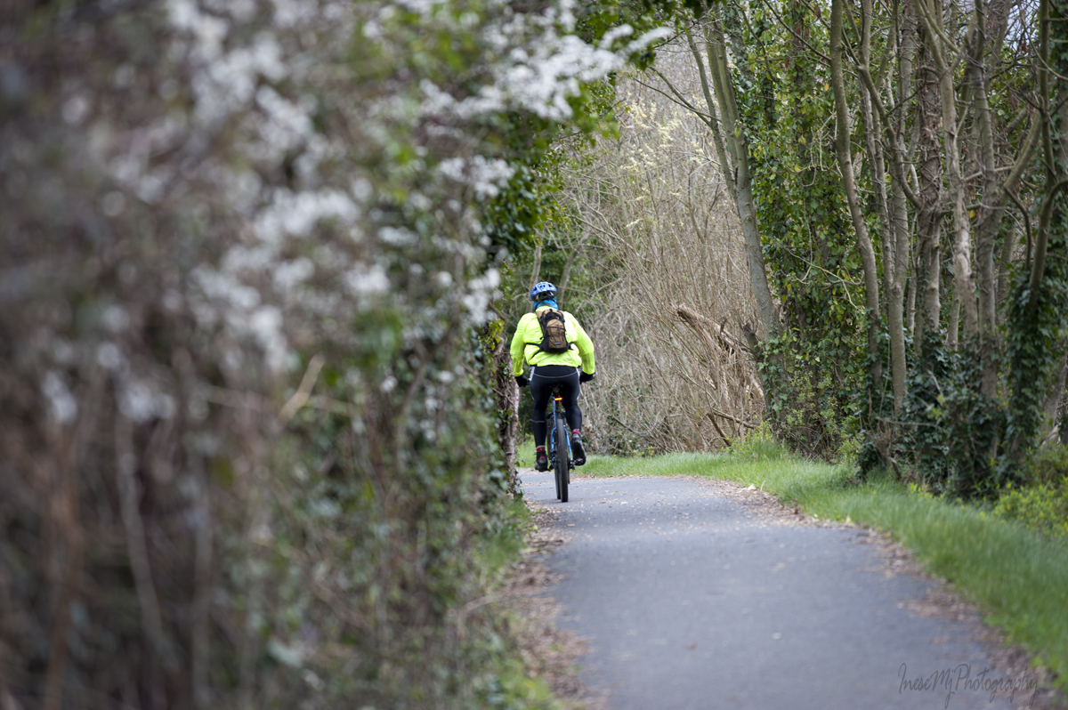
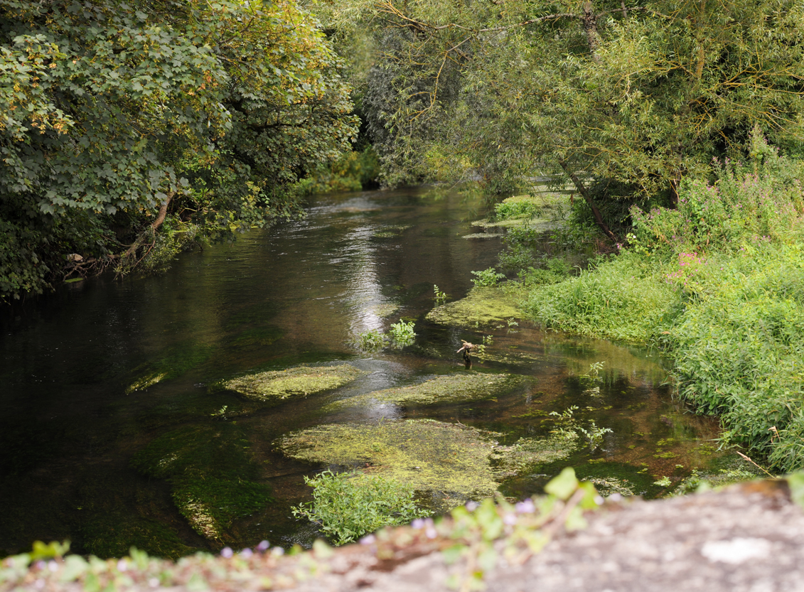
Clonmel river walk existed way before the Blueway was launched.

There is a set of weirs on this stretch of the river, some of them overgrown. They used to supply the water wheels for the number of mills. Here is a poem about the Gwendoline boat accident at the long Dudley’s weir.

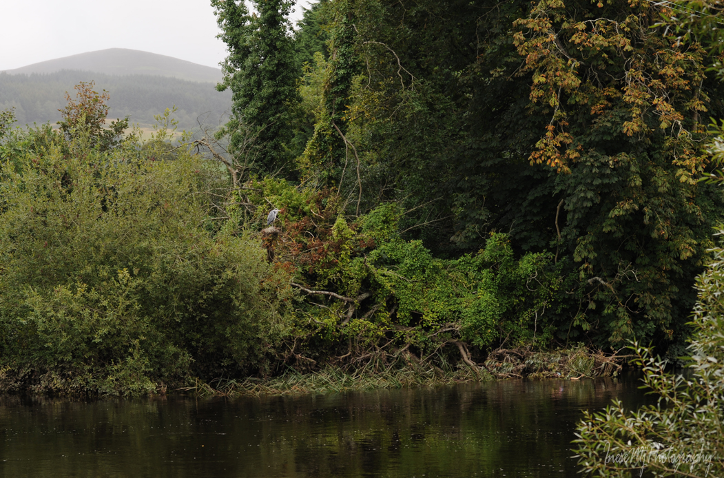
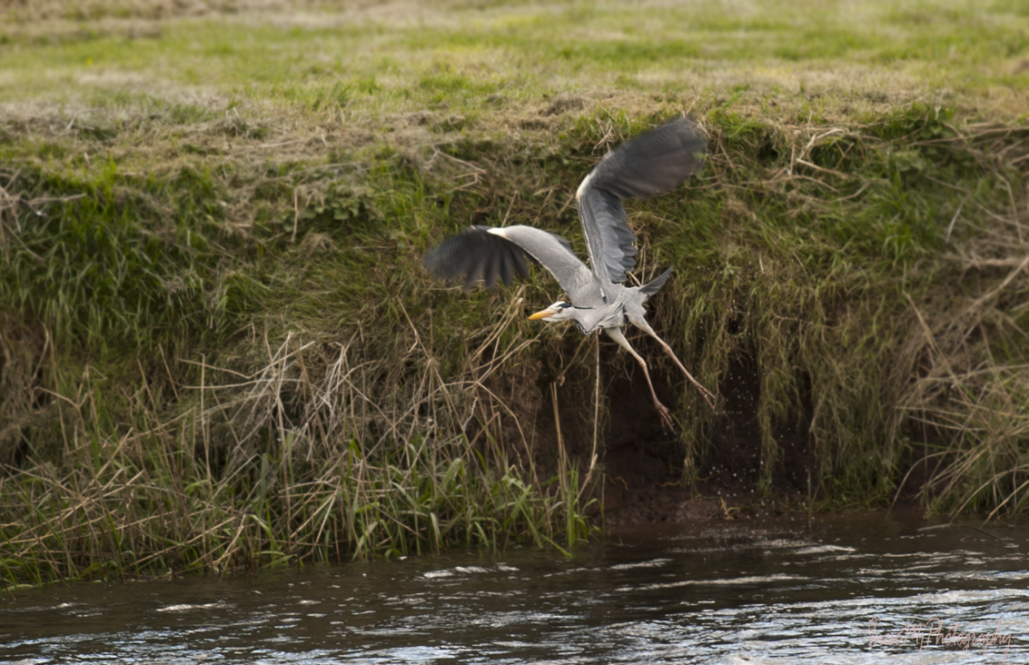
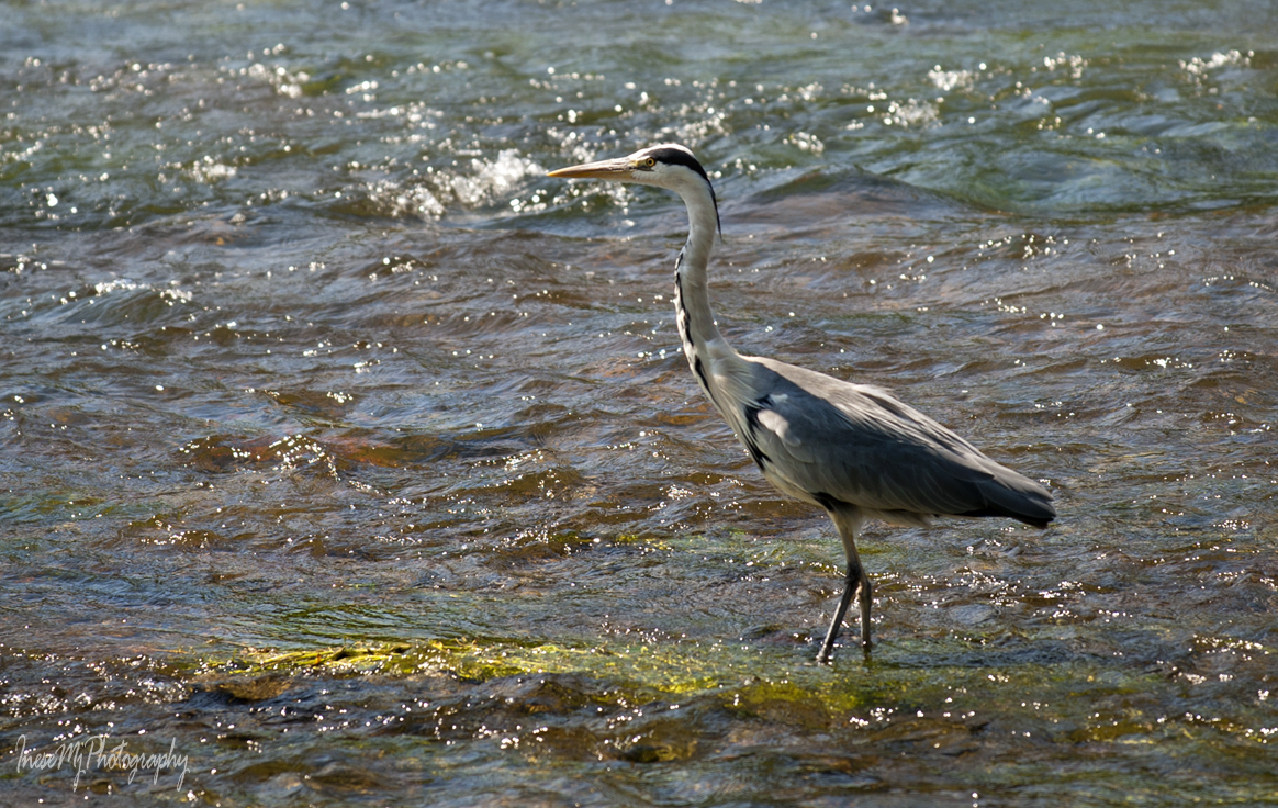
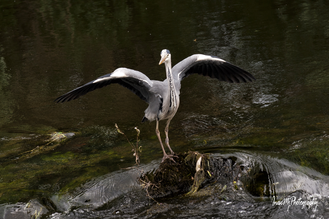
A heron took off, slipped on landing but regained his balance. Funny bird, I never get bored watching them.

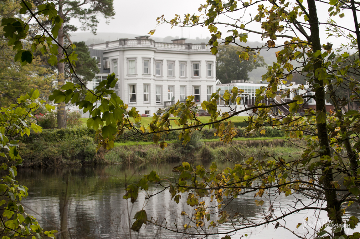
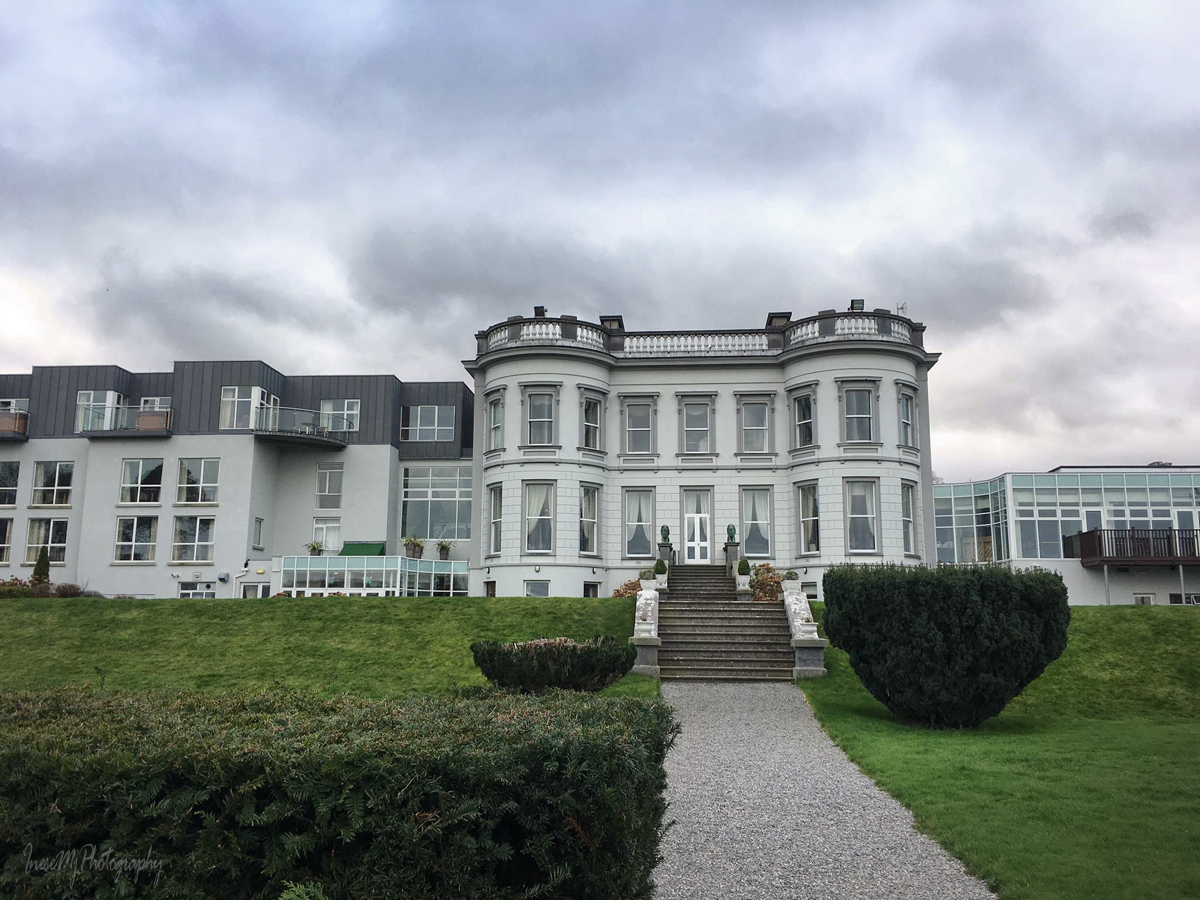
Hotel Minella is another landmark. The central building (1863) was built for Thomas Malcolmson of the famous Malcolmson family I mentioned in my blog before. The Malcolmsons represented the finest example of capitalism in action. As per The Irish Times, August 18, 1865, Mr. David Malcolmson shared his thoughts about the self reliance and welfare: ‘The best mode of preventing emigration would be to provide proper dwellings for the peasantry, and to give every labourer a savings’ bank outside his own door in the shape of an acre or half an acre of land.’ 

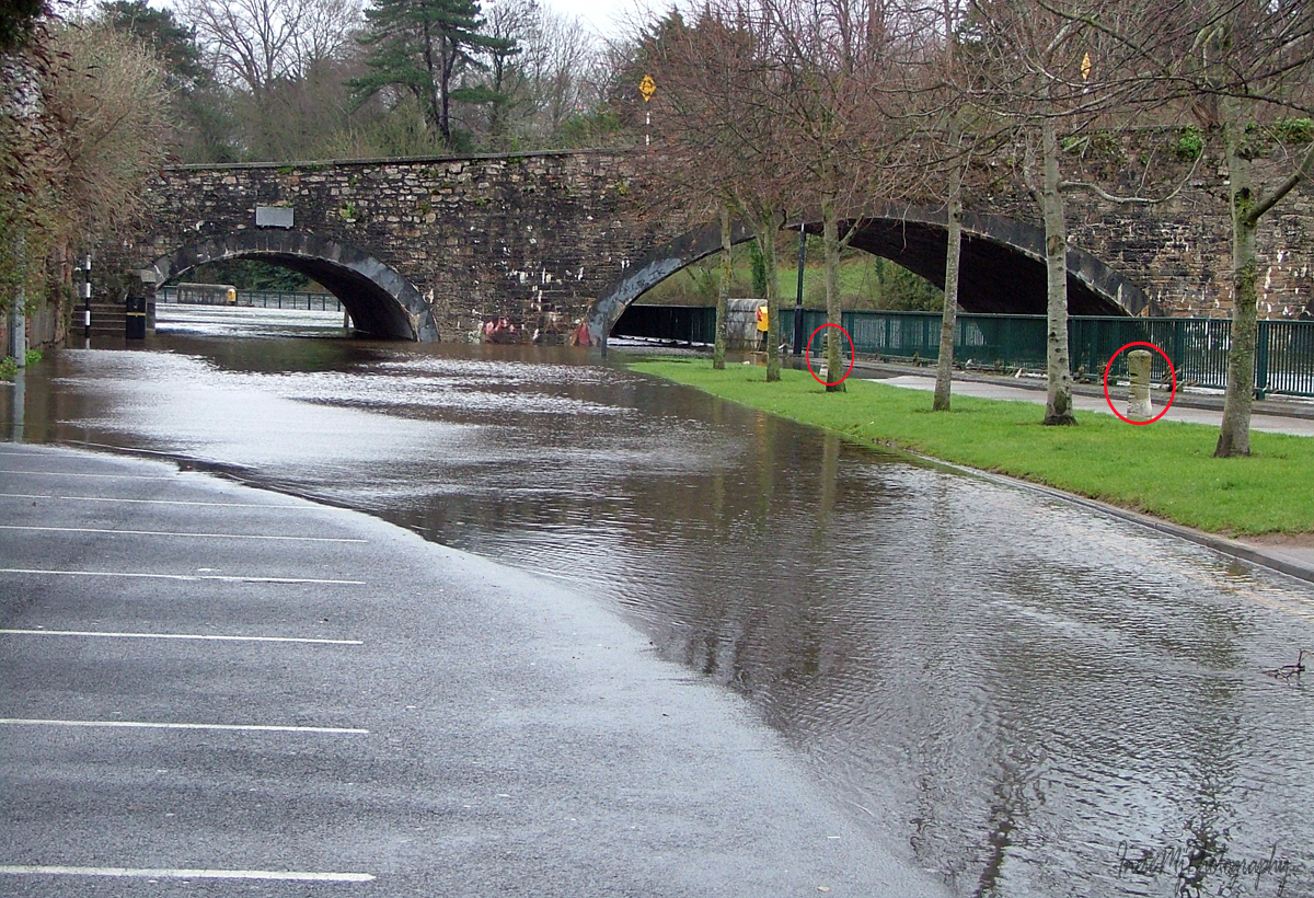
This is the flooded Clonmel in 2009. The five-arch Gashouse bridge (1825) has two already familiar pedestrian dry arches – one on each side of the river, but there is also a dry path for the horse-towing under the navigation arch. Very interesting features are the bollards I have circled in red in the picture. They are made of cement, and have deep rope marks.

The towpath ends here. We will walk a little further.

This is where our walk ends – the Old Bridge, Clonmel. Actually the Old Bridge is a group of bridges spanning two existing branches of River Suir and one former branch which is dry now.

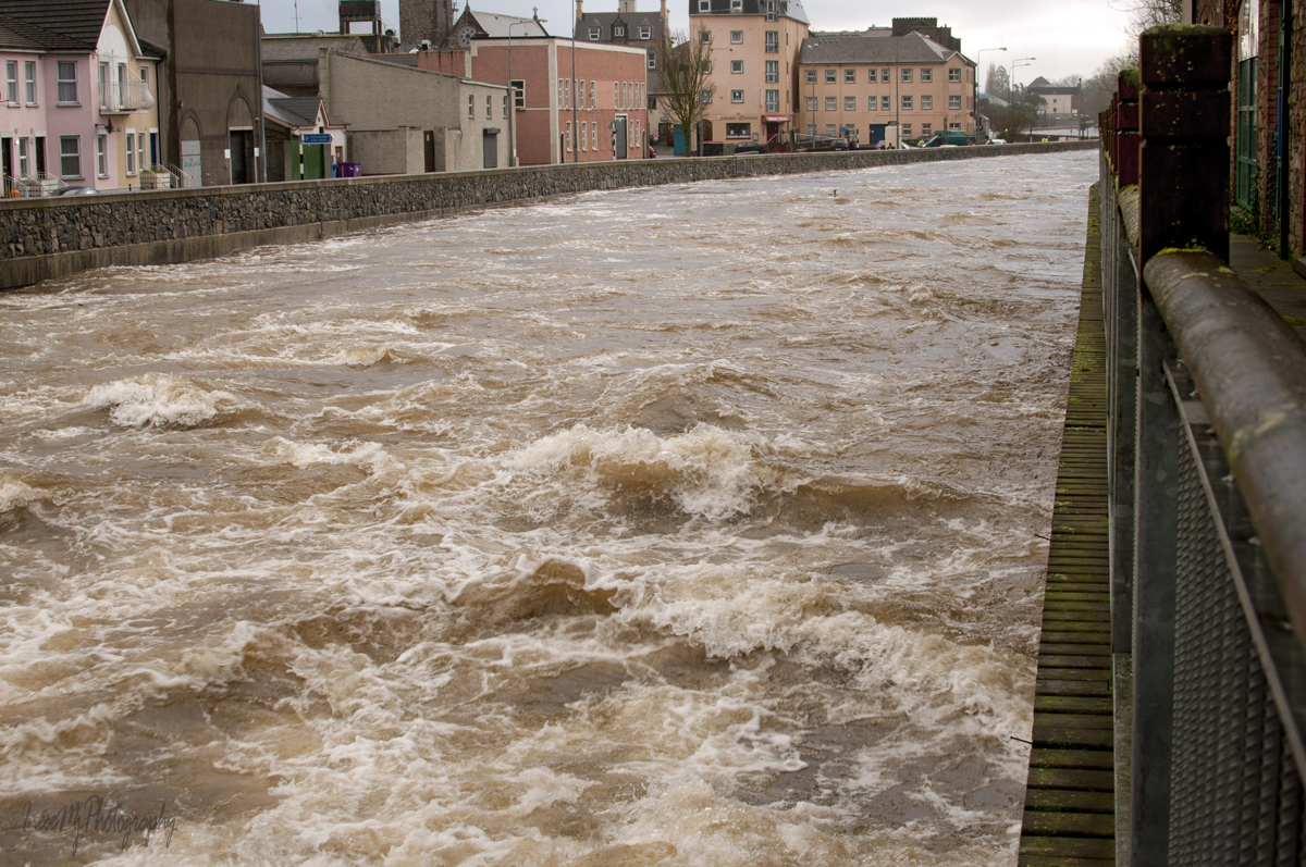
A view from the bridge during the 2009 flood.

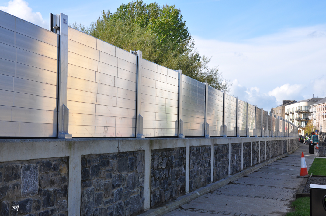
After that flood the wall was built. No, it doesn’t stay this way all the time, thankfully.

Beautiful River Suir – walled, paved, but not tamed.

I am sharing a link to one of my favorite blogs. Here you can watch a slideshow to find out what the river looks like from a boat. Thank you Brian for all your fantastic articles!

Here is an article about a person who doesn’t support the development of the Blueways, and I clearly see her point. It is about River Barrow, one of the ‘Three Sisters’ – Barrow, Suir and Nore. What happens next is still uncertain. The owners of the local businesses are the strongest supporters, but in my opinion, South-East doesn’t need more Blueways. River Barrow in its natural beauty will attract even more visitors in the future. Maintaining the grassy towpath and leaving all the mature trees be is the best investment one can make. Mr. Malcolmson would approve 😉

Thank you for being such wonderful walking companions!

Have a happy weekend!

Blue way of County Tipperary IV

I don’t want to leave the village of Kilsheelan yet! Today’s walk is about a half of a mile long. We will be mostly standing and looking at things through all four seasons of photographs.

George Henry Bassett, an editor of the New York Times with an interest for writing, left his account about Kilsheelan in his Guide and Directory, 1889:

“… Kilsheelan is a station on the Waterford and Limerick railway… The land is good for pasture and tillage… The Waterford county border is separated from Kilsheelan by the river crossed here by a substantial stone bridge. Near it there is a quay for discharge of goods dispatched by boat from Clonmel, Carrick-on-Suir and Waterford. At the verge of the river, close to the bridge, there is an ancient moat. It is now quite bare, but down to fifteen years ago, had a good covering of trees. The ruin of an old church between the village and the river, is one of the striking objects seen from passing trains…”

We will find these object – and some more- 130 years later.

Elegant yet sturdy Kilsheelan Bridge spans the river since 1820. The bridge has three large arches and one additional dry arch for pedestrian use and boat towing. The bridge was repaired and expanded in the late 1930-s.

The bridge in November 2019.

This is the place where the quay used to be.

Another object from the book is the famous ruin of Kilsheelan Old Church. To get there, we walk past the Butterfly Garden.  It is a lovely place to meditate and enjoy the sun. The Garden got a new gate last summer, beautifully decorated with the otter, swan, salmon and kingfisher wood carvings.

Kilsheelan means ‘the church of Síoláin’, an early saint who died in 608 or 610. All photographs of the ruin look the same, so I was glad when a black & white kitty came into the frame and added some ‘color’.

Kilsheelan Old Church ruin dates from the early-twelfth century. The west gable and the south wall are pre-Norman. 

The bell cote and this ogee headed window were added in the 15th century.

The east gable.

In the north wall, there is a carved Romanesque doorway – usually such doorways face West. You can read about a fine example of Romanesque doorway in my blog about The Saint Lachtain’s Church of Freshford.

The Church was probably abandoned in the 16th century, but the graveyard guarded by ancient yew trees is still in use. There are many 18th century tombstones and headstones.

The opposite bank is bursting with life: I have seen otters, kingfishers, water rails, dippers, and of course there is always a heron.

There is also a lot to see at the village end of the bridge.

First of all, the majestic Slievenamon, sometimes covered with snow. This beautiful mountain is always in view. On the right side of the image there is another interesting object – a Norman motte, an earth and timber fortification.

A grotto was built into the north side of the motte in 1948.

This is the latest addition to the village’s image.

The views from the bridge, downstream and upstream.

There are two mature birch trees between the motte and the river. Treecreepers can be seen there spiraling up the trunks, completely ignoring a human and her camera.

Former moat still isn’t entirely bare, looking lovely in autumn colours.

We walk upstream from the bridge to get to Castle Gurteen de la Poer before the dark.

The owner of the castle is Gottfried Helnwein , an Austrian-Irish artist. He resides there with his family.

My plan was to ask the residents of both Poulakerry and Gurteen if they ever walked, cycled or kayaked all 21 km of the Blueway. I didn’t have an opportunity to see the Poulakerry folks, but I asked my question to Cyril Helnwein – fine art photographer, motorcycle enthusiast and the resident of Gurteen de la Poer. Yes, they have done it many times as a family, he says. Both cycled and kayaked. They sure love ‘wind in their hair’. This Sunday Cyril is riding solo in The Distinguished Gentleman’s Ride, and those of you who are passionate for bikes can visit Motowitch Collective website his wife Kojii Helnwein hosts since 2018.

We are moving closer to the end of our walk. Only 8 kilometres left, and I hope we make it to Clonmel in two weeks. Thank you for being my walking companions!

Here is a link to one of my blogs about Gottfried Helnwein’s work.

  Have a happy weekend!

Blue Way of County Tipperary III

We have walked 11 kilometres and deserve a break. Today’s walk is only 1 km long. The season is Autumn.

*

The Poulakerry Tower House is often called a castle, which is fine. There is no need to be over-specific when we speak about a 600 years old building that still stands and is lived in. You can also call it a keep.

The tower house was built by the Butler Fitzwilliams family to guard the crossing over the river, demand tolls, and who knows what else as they had a reputation of ‘robber barons’. During the Cromwellian invasion, the house was taken and its defenders killed. Majority of castles and keeps suffered from sieges and were left in ruins. Excellent location saved the Poulakerry tower house: it was repaired and used as a garrison. Over the centuries the house changed hands and was restored in the 1970s to become a family home.

The river makes an S-bend at the tower house. Peaceful fields lay on the north bank and the steep wooded slopes of the Comeragh Mountains rise on the south.

Robins here are fearless. You can stand pretty close with your camera and admire their Christmas Card cuteness.

Landscape House is another landmark. Built in the 1790-s as a part of the Mount Congreve Estate it was extended over the years. Somehow this property is associated with Captain Charles Cunningham Boycott, a British land agent, whose name became immortalized after he issued eviction orders to his tenants in Co Mayo. Nowadays evictions are not a novelty anymore, and no new words have been created… The Captain leased a farm in Tipperary, it is all I know. If I learn more about the ‘association’, I will update this post.

A legendary horse trainer and rider Phonsie (Alphonsus Septimus) O’Brian and his wife bought the house in the 1970’s after the sale of their Thomastown Castle property. You might also know their daughter’s company name – Lily O’Brien’s. Both the House and the chocolate & desserts company were sold in 2018.

This is the most beautiful stretch of the river.

The lower slopes of the Comeraghs adorned with yellow and red foliage.

Majestic Slievenamon stands on the opposite side of the river.

A couple of swans are glowing in the afternoon sun.

Not only the swans – myriads of mayflies are glowing like little lanterns (early September).

Another robin enjoying the warmth of sunlight.

The sun rolled behind the hill. Two egrets call it a day and depart for the trees.

Pied ( or Water) wagtail is a resident at the Poulaberry and Kilsheelan Bridge parts of the river.

We stop before the Garden and the bridge – more about these landmarks in my next blog post when we will walk to Gurteen de la Poer Castle you see under the bridge arch.

Thank you for reading and walking with me ❤

  Have a wonderful weekend!

Blue Way of County Tipperary II

We continue from Dove Hill Norman Tower, and I hope we make it to Poulakerry Tower House. The season is spring.

We see a glimpse of several ruins as we walk. River Suir was the main access route, and has been used by the early Christians, the Vikings, the Normans and everyone else over the centuries. The four-storey Dove Hill tower house has been changing keepers since it was erected in the 14th century. The Earl of Ormond is listed as the proprietor in 1640 when the tower was described as “a small castle wanting repaire“.

This is a closer look. The ivy-clad ruin stands right across the road from the Dove Hill Irish Design Centre.

Suir Blueway was officially launched in May 2019 and the path was paved in 2018. Before that the path looked like in the pictures below, and I loved it much more than its paved version. In fact, it makes me sad when I see all that paving, drainage or tree cutting in the wildlife habitats intended to accommodate our selfish wants. There are very little habitats left in Ireland, and very little wildlife.

Now and then we see an angler. River Suir is still rich in salmon and has the distinction of producing Ireland’s record rod-caught salmon that weighed 57 lb ( 25.9 kg) and was taken on a fly by Michael Maher in 1874. .

We walk some 2-3 kilometers and there is no other sound than the buzzing of bees and chirping of birds.

Then suddenly we hear a ‘white noise’ that grows louder as we walk – it is the sound of the rapids.

Nothing dramatic here, just the shallow water and the rocks, but the sound is impressive.

I take a slow shutter picture of the water.

River Suir is not deep along the Blueway. All the navigation takes place to the south of Carrick-on-Suir.

We walk another kilometre in solitude. There is MSD biotechnology company site somewhere at this stretch of the riverwalk, but they make themselves invisible, and they are a good employer anyway…

We pass so-called Glyn Castle – the house with a rich history built on the site of an ancient castle.

Waterford- Clonmel railway comes close to the river at this point.

More walking.

There are birds – robins, wrens, green finches.

Heron makes a comical takeoff.

The beautiful vistas of the green Irish countryside provide a lovely ending to our 6 km long walk.

Some more birds as we approach the outskirts of my favorite village.

We made it to the Poulakerry tower house!

In my next blog we are going to stay in the village of Kilsheelan and walk between the Poulakerry tower house and Gurteen Castle.

  Have a happy week!

Blue Way of County Tipperary I

Today we are off to the River Suir again, ready to start a glorious 21 km (14 mile) walk which I have completed in the past, not in a single go, though. I also recommend Treacy’s Blueway Bike Hire for those who prefer cycling…

Suir Blueway is a 53 km kayaking trail from Carrick-on-Suir to Cahir and a 21km walking and cycling trail from Carrick-on-Suir to Clonmel along the river Suir.

A few words about the history of the trail. The Greenways are built on the former railway lines. The Blueways are built on the former towpath for horse-drawn boats.

Carrick-on-Suir has a long history of river transport. From the mid-eighteenth century until the early 1900-s horse-drawn boats were a familiar sight. The boats were often towed in pairs with a team of twelve horses yoked together, four men in charge. An old photograph below is linked to the blog post you might enjoy reading. The photograph was taken from the Gashouse Bridge, Clonmel.

You will see a good few remarkable buildings and ruins along the walk. Davin’s tower in the opening picture is a folly built by Lord Waterford in 1820-s. It is overlooking the Davin’s salmon weir – the science of constructing such weirs was brought to Ireland by the Franciscans. 

I have arranged my pictures by location and season. In today’s blog we start out in Carrick-on-Suir, and the season is Summer.

River otter is a common resident. A family of otters live at Carrick-on-Suir marina which is quite a busy place. River otters usually enter water only to hunt or travel. These three otters looked like they were traveling with a purpose.

I hope these cute ducklings escaped the sharp teeth…

We might sit down and rest our feet. Some of the benches have plaques – “In memory” or “Donated by”.

Birds are always present – robins, wrens, stonechats, thrushes and finches. Highly territorial Kingfishers can be seen once in a while. I have never got a photograph.

Heron is hunting in the shallow water. I always smile at his prehistoric looks and unnecessary panic with which he takes off: he is in the middle of the river and we humans don’t fly. Tainted conscience of a predator? Guilty of eating little ducklings, may be? 😉

Swans don’t panic. They have a vegetarian diet and clean conscience. They move with dignity and mind their own business.

We are almost halfway to Kilsheelan at this point. Hope you enjoyed the walk.

The Carrick-on-Suir Clancy Brothers Art Festival takes place on the June bank holiday weekend each year. Here is an hour long concert for you to listen while you are getting ready for the next leg of our adventure.

See you soon!


Have a happy week!