landscape

Traveling American Southwest, Part I

three gossips

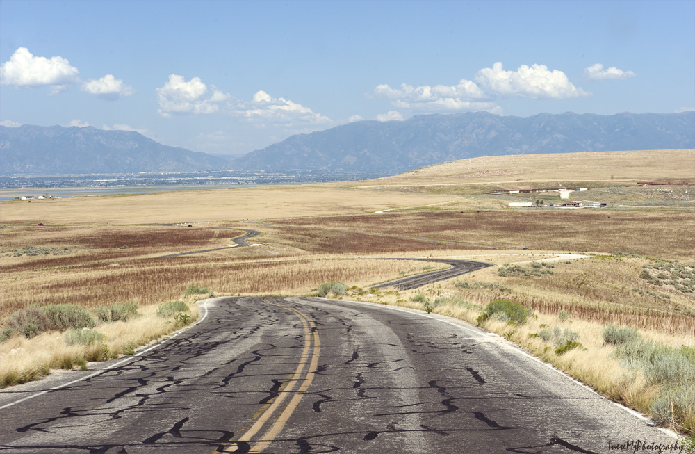
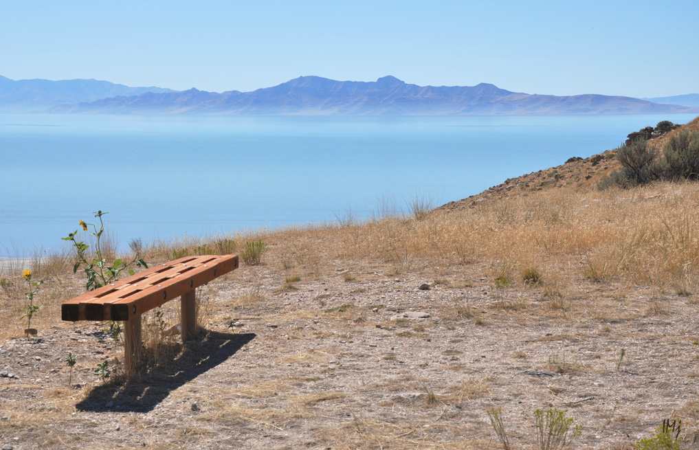
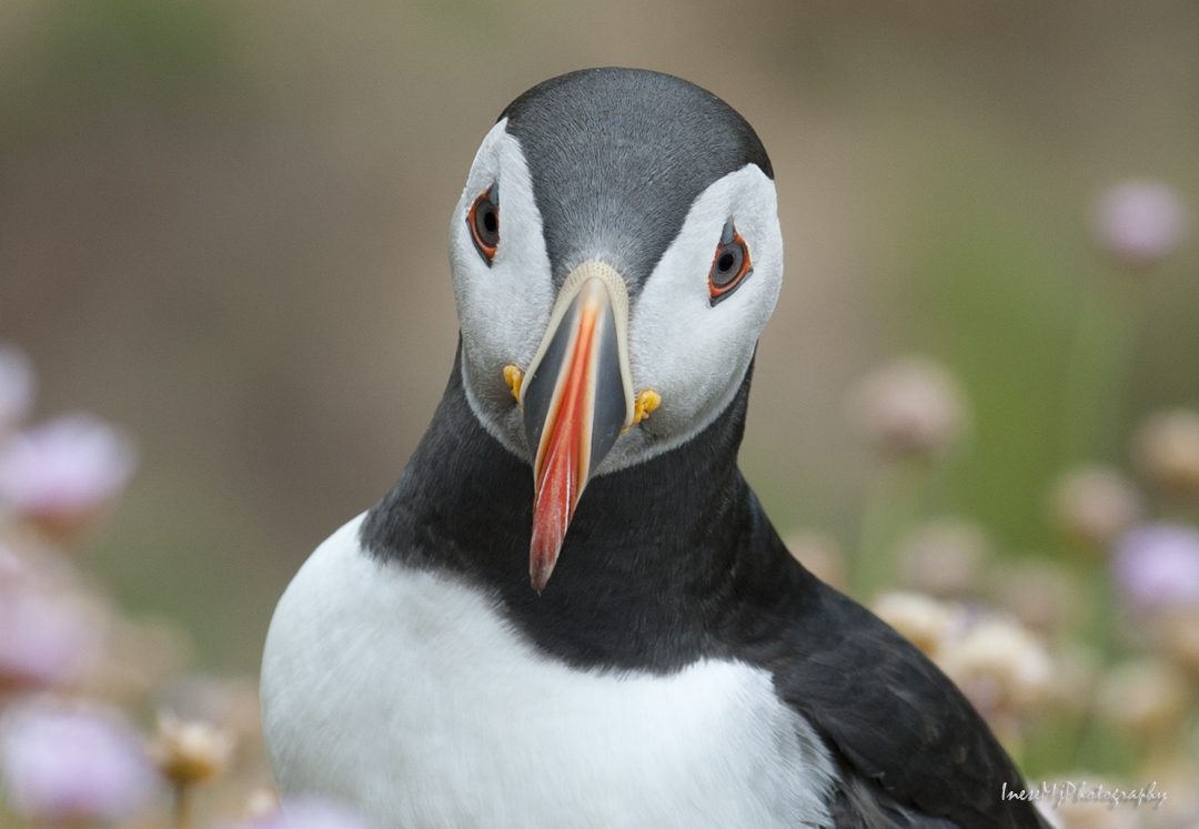
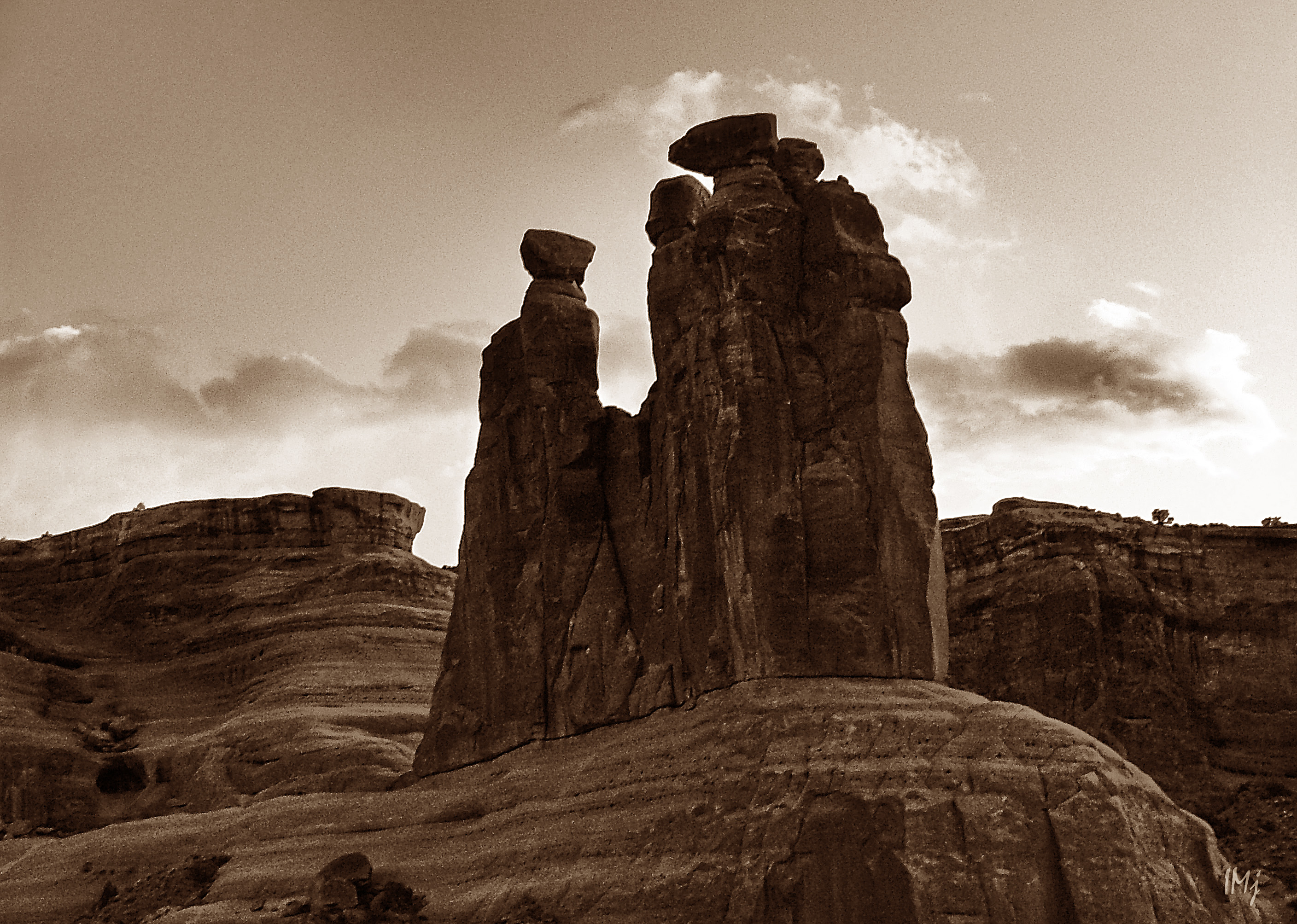
I have this image of Three Gossips taken in color at the sunset, but I added  gradient and changed color balance to make it look like a distant memory, because I will share some almost forgotten, and for most of you, unknown memories… in my next blog, Part II 🙂 But first, let’s go back to the story about our Southwest travels.

We have made two trips to Southern Utah and Northern Arizona, in 2007 and 2008. Our first trip included:  Arches National Park, Four Corners, Little Colorado River Gorge, Marble Canyon, Grand Canyon, St George, Cove Fort – a round trip  we had made in five days.

There is no photograph that could adequately depict the stunning beauty of Arches National Park. You come there in awe, and you leave in awe. If you are short of time and cannot stay longer than one day,  I would suggest something like that:

Morning – Devil’s Garden Trail and Landscape Arch ( 2 hours) and probably another 2-3 hours if you want to walk to the end of the trail ( we didn’t);  Double Arch ( 30 min); The  Windows ( 1 hour). It is just how long it takes to walk. You will need more time – driving, taking photographs, sitting and admiring the scenery.

Afternoon – Delicate Arch ( at least 3 hours; parking is limited!); Balanced Rock before the sun goes down ( 30 min). Check the map to calculate how long it takes to drive from place to place.

Check out the links to the long and short trails, but regardless of the distance you have to take a lot of water with you.

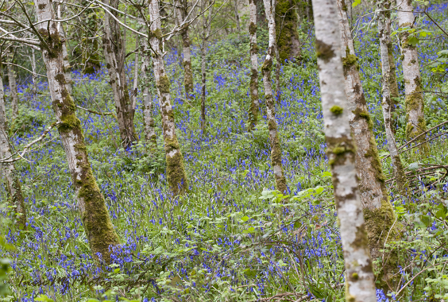
There are 2000 arches in Arches Nation Park. Well, perhaps 1999, since the Wall Arch collapsed in August 2008.

The best photographs of Delicate Arch come out in the afternoon. We went there first thing in the morning. It made sense because we had no idea how long it takes to hike, and we really wanted to stay there a little longer. Photography wasn’t our priority.

In the first photograph, Delicate Arch is just around the corner. The weather is changing to overcast, and the arch looks differently every half and hour. Sitting there and staring at the arch was one of my favorite activities in the Park. If you have been there you know what I am talking about.

arches

May 24-25 2007 145res

arches

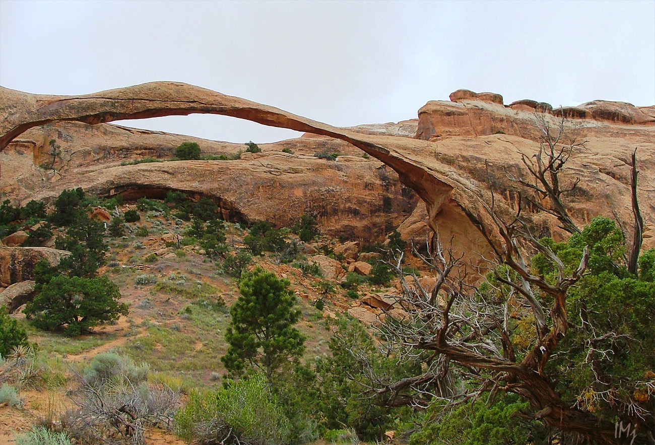
This is the Landscape Arch, or what is left of it after the first slab of sandstone fell off in 1991. Still, it is the longest natural arch in the world with the span of 290 feet.

Arches

It is the Devil’s Garden trail, the most spectacular of all the trails in the park. The weather was changing, and by the time we reached the Landscape Arch, it was raining and we turned back.

Arches

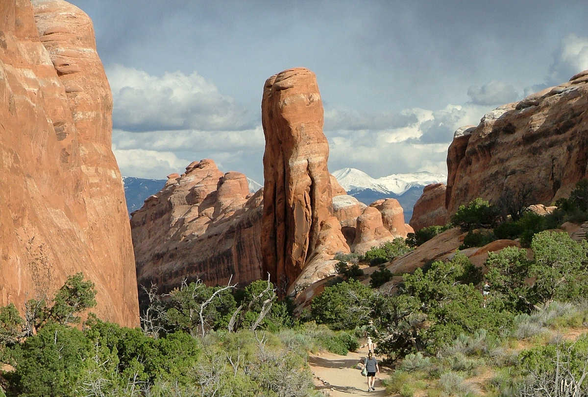
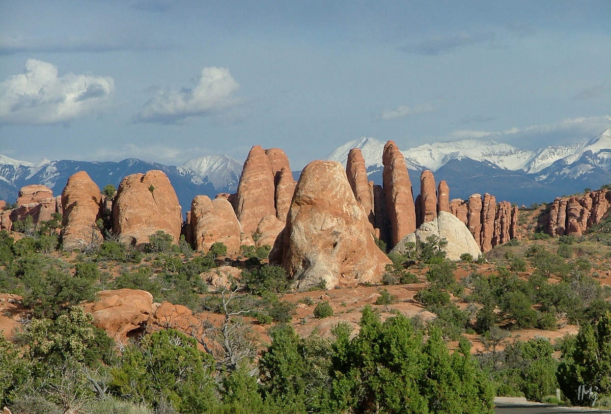
These formations are called “fins”. I mentioned them in my previous blog.

Arches

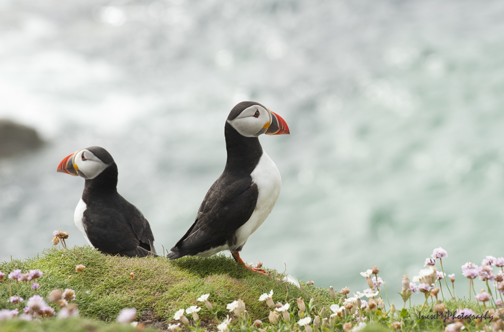
The rain stopped and we actually visited more arches than expected. We took beautiful photographs of the Balanced Rock half an hour before the sunset, and the Three Gossips a minute before the sun went down.

This is the Window Arch. For the scale, see a tiny human sitting in the left corner.

arches

The following day we started our unhurried trip to the Grand Canyon, a ” hole in Arizona”. It is hard to put the Grand Canyon in words and pictures, and yes, “not all holes are created equal” 🙂 I was standing there speechless and almost breathless.

South Rim, Colorado River. Here we spent a day, hiking around and down in the canyon.

Grand Canyon

North Rim, the following day. There, we took a short  but breathtaking  Bright Angel Point trail.

GC

We walk along the narrow ‘peninsula’, surrounded with the stone ‘waves’. At the end of the trail, The Bright Angel Point, most of people just stand and stare across the vast expanse. It is difficult to believe that this  is all real. I think you will love reading this very informative and very poetic article about the area down there.

angel fault

Reading displayed information I had to smile. What is the Bright Angel Fault?  As I learned, faults are fractures in the Earth crust that occur under the pressure – compression, extension or side-by-side movement. The Bright Angel Fault is such a fracture that stretches almost straight across the Grand Canyon from the South to the North through the Bright Angel Canyon, which was formed through erosion along the fault.  Yes, the view that we see at the view point is not technically the Grand Canyon, but a side canyon,  the jagged border ridge of the Bright Angel Canyon!

The Bright Angel Fault is still active and has produced small earthquakes that visitors sometimes feel. The fault is visible as  a 186 foot displacement: you can see it in the image of the distant South Rim, where the left side of the horizon line is visibly higher than the right one (sorry it is heavily zoomed and taken with a 3 mp camera)

angel fault

I have read a lot about the side canyons, and I still have more questions than answers. I know that I will never hike the Grand Canyon and see everything by myself. I can only pray that the people who go there in the future are considerate and respectful to the Nature.

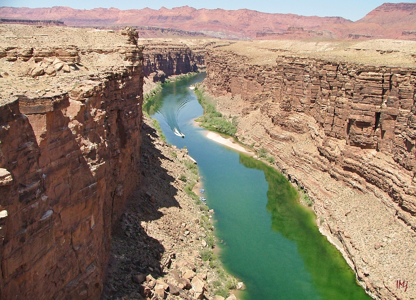
Little Colorado River Gorge, and Marble Canyon and Navajo Bridge are worth to mention not only because they are located on the way to Grand Canyon National Park and to stop there seems like a natural thing to do. These places are beautiful.  Cross both  – New and Historical Navajo bridges, and enjoy the emerald color of Colorado river if you travel early in summer. Little Colorado river is a bright  blue color, but later when the rains start, they both become chocolate milk  brown, and as the saying goes ‘ too thick to drink, too thin to plow’. Marble Canyon and  the Grand Canyon join where the Little Colorado River enters the Colorado River.

In the image below, a view from the Old Navajo bridge.

colorado river

On the way back, we had a stop in St. George, UT,  and visited their Pioneer Park.  We climbed up the Dixie Rock for the downtown panorama, and I can tell you that the place is certainly worth to stop by.

Our last stop was the Cove Fort, with their curious exposition of the 19th century artifacts, workshops and the Big Barn. Lots of history, with no admission fee ( the place belongs to the LDS Church).  We even learned how to play the long forgotten game! 🙂

cove fort

There is a wonderful book  – Travelers’ Tales, American Southwest: Arizona, New Mexico, Nevada, and Utah… A great read when you feel nostalgic.

The other trip was also a five days long trip : Coral Pink Sand Dunes, Lake Powell and Rainbow Bridge, Horseshoe Bend, Upper Antelope Canyon, Monument Valley, Mexican Hat, Utah State Route 261 and Moki Dugway, Natural Bridges National Monument,  Utah State Route 95 across the end of Glen Canyon, and a long drive through the breathtaking canyon country up to Salt Lake Valley.

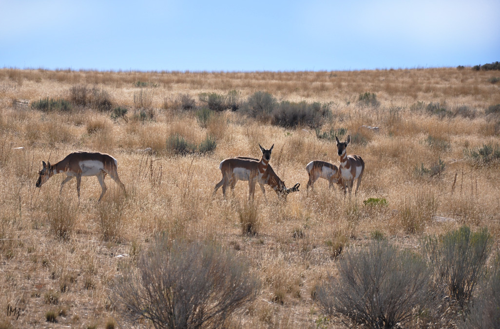
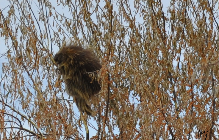
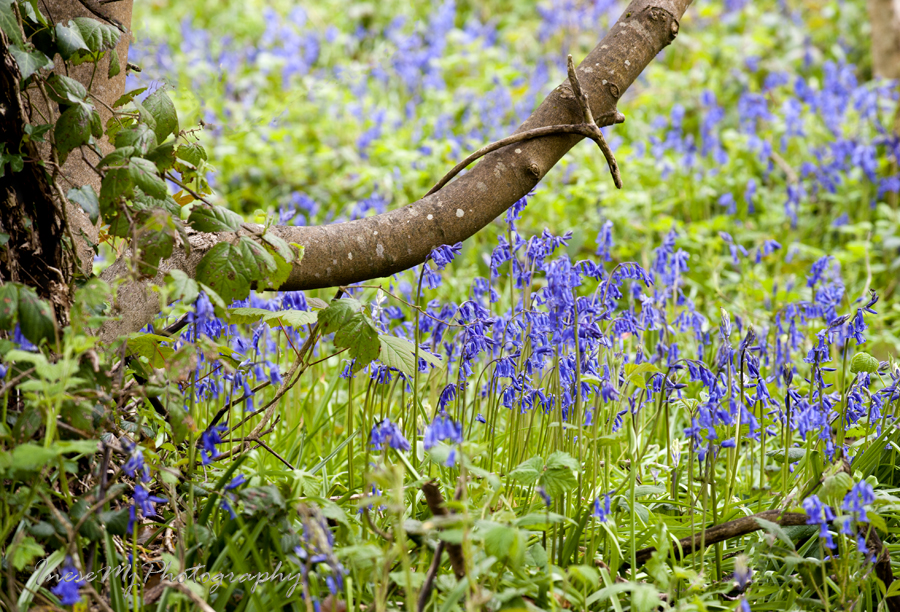
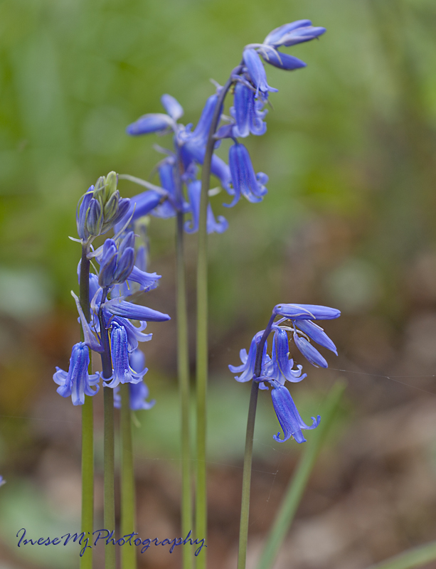
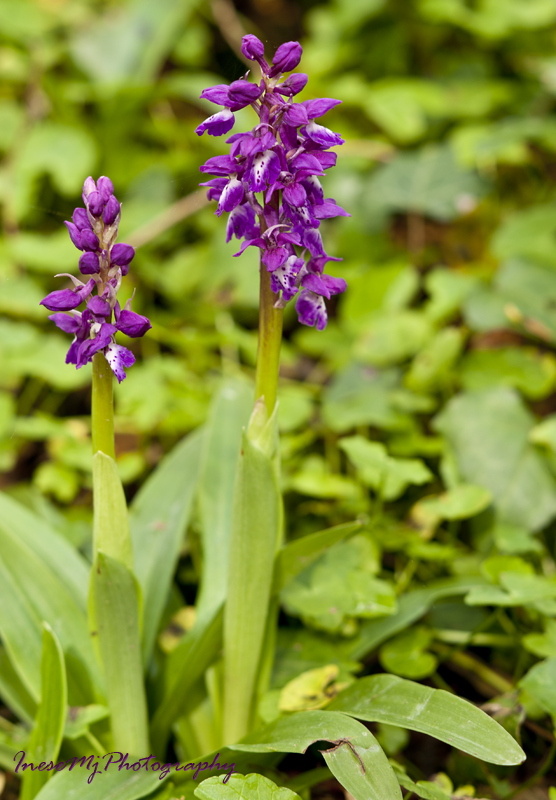
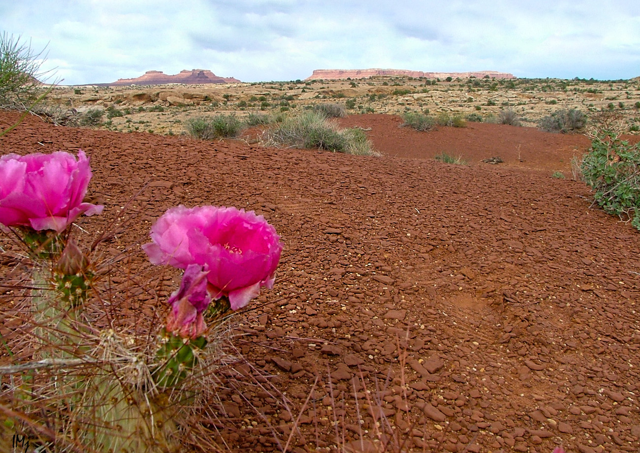
As I said, we travel with no hurry. We stop to admire buttes and mesas; we  even climb them sometimes. We buy Native American jewelry made from  seeds,  beads and semiprecious stones; we watch the wildlife and marvel at the flowers bravely standing out against the barren rocks. One cannot plan discoveries and surprises.

desert

desert

On our way to Page, AZ we turned into the side road to check out a  unique place, a part of Zion National Park – Pink Sand Dunes.

Pink sand Dunes

It was fun to run down the dunes, and it is where I lost my wide angle lens…

We stayed in Page three nights exploring the area. Horseshoe Bend was one of the places on our list. I failed to take a good picture, but my daughter had a good fun taking pictures of me wriggling on my belly towards the rim with my camera holding hand outstretched, and with the mortified face. Due to the embarrassing nature, these pictures may not be published.

horseshoe

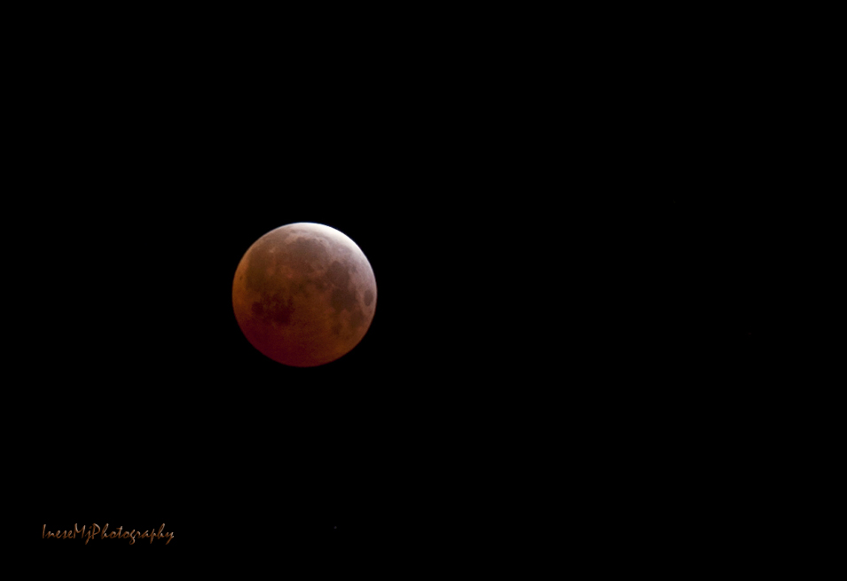
We went there again after dark. The full moon lit up the waters of Colorado River; wildlife enjoyed the coolness of the night, and we enjoyed watching the cottontails happily run around. I didn’t get any braver, and this sorry picture is the best  I have got.

Horseshoe bend

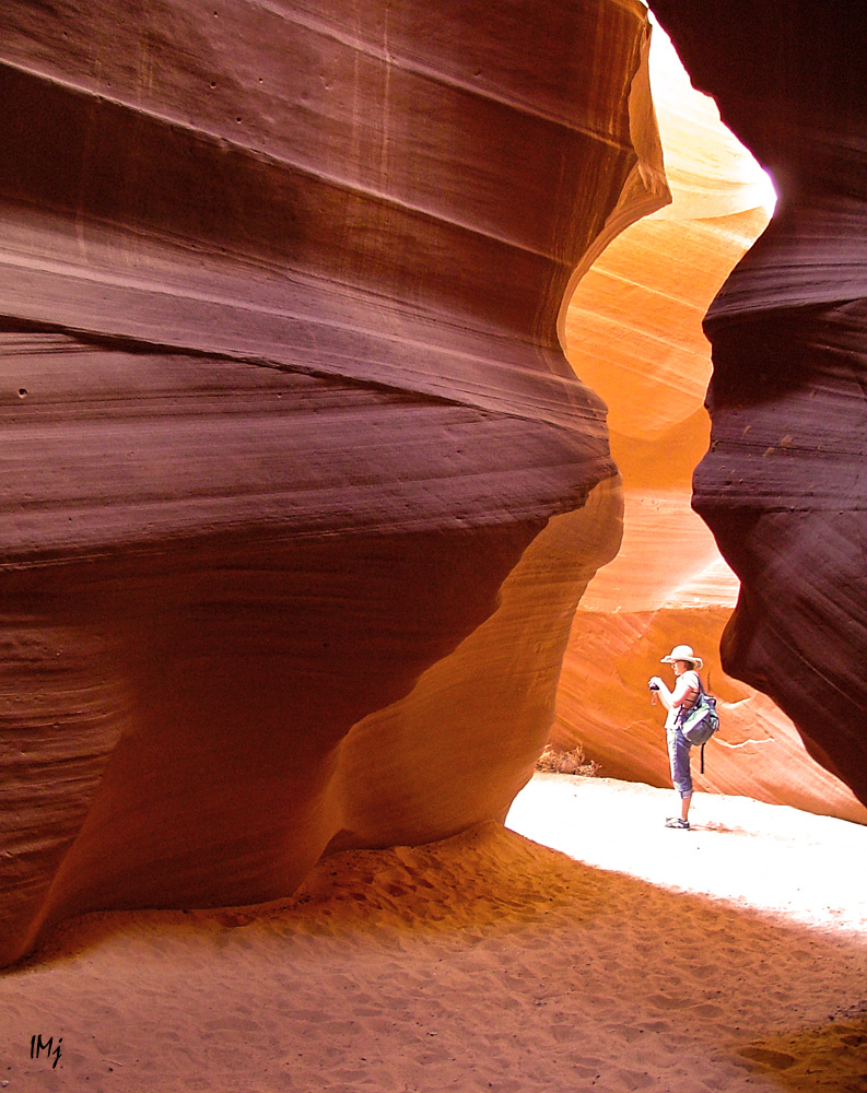
Another place on our list was  Antelope Slot Canyon. Probably many of you have heard about the tragedy that happened there in August 1997. We went to the safer and easier of the slots, the Upper Antelope Canyon ( the Upper and the Lower slots are a few miles apart) . All the land around Page, including Antelope Canyon,  belongs to the Navajo Nation. It is a family business, and we got a handsome young man for a guide, a University student who was on holidays at that time, and not only gave us photography tips, but also played the flute for us.

Antelope Canyon is one of the most mesmerizing places on Earth, where the light is everything. The corkscrew walls polished by flash floods change their color every second as the light bounces between the twisted columns. In the image below – Slot entrance.

slot canyon

Images taken inside the canyon, available light.

Antelope Canyon

Antelope Canyon

In my next blog, I will cover the rest of our Lake Powell trip, and reveal my first (and last) celebrity crush from the 1960s 🙂

IneseMjPhotographyHave a wonderful weekend!

I want to see a Gruffalo!

antelope 185res

I am on holidays, and all I do is taking family pictures of no public interest. Yet, there is a place I really want to tell you about, so that if you travel through the area, you spare some couple of hours to visit, or even camp there over night. Antelope Island, Utah, a home to the Antelope Island State Park.

Great Salt Lake’s largest island looks like another world.

antelope island

It is my third visit, and I have a couple of photographs to share.

In the image below you can see a 7-mile  causeway to Antelope Island the way it looks from the top of the Buffalo Point. The causeway was submerged for most of the 1980’s, because of high lake levels.

antelope island

The island hosts countless nesting and migratory birds of about 250 species, including various species of waterfowl and  birds of prey.

antelope island

More than forty freshwater springs produce 36 million gallons of water each year supporting wildlife and vegetation. Pronghorn antelopes are native to Utah, and there is a big herd of them on the island.

antelope island

Bison, or American buffaloes, are the most famous residents. There are about 600 animals in different parts of the island.

antelope island

I have also seen hawks, lizards, mull deer, coyotes, and a porcupine in the tree.

porcupine

The picture of the porcupine is not great, but I think I was very lucky to take it.

Another attraction is the historical Fielding Garr Ranch, and I advise you to visit it. A tip: it closes early, so you better go there first thing in the morning.

antelope island

I could not resist to take a picture of this old Dodge pick up truck.

antelope island

Here is an awesome map of the Antelope Island I borrowed from Wikimedia.

https://commons.wikimedia.org/wiki/File%3AAntelope_Island_State_Park_Map.jpg

The most spectacular is the road that runs along the eastern coast. I have never been there in summer, but even in the winter haze it looks like a different planet.

antelope island

antelope island

antelope island

Buffalo Point hike is very steep and rough, but it offers you some truly breathtaking views over the White Rock Bay.

antelope island

antelope island

antelope island

This time we didn’t do any hiking. We were looking for buffaloes.

antelope island

There were many of them, all far away from the road. It is very difficult to explain to a toddler that a black dot barely visible in the tall dry grass is a promised huge buffalo. ” I wanna see a Gruffalo!”

But it was our lucky day indeed – we met one at the side of the road.

antelope island

After that we went off to the shore.

antelope island

antelope island

antelope island

Great Salt Lake is a remnant of prehistoric Lake Bonneville which covered more than 20 000 square miles during the Ice Age.

Water flows into the lake from four rivers, but Great Salt Lake has no outlet: water leaves only through evaporation. Concentration of minerals is very high and no fish or any other creature can live in this water except for brine shrimp and brine flies, and some algae.

Oolitic sand is a unique feature of Great Salt Lake. Round grains of sand are formed  similar to how pearls are formed, with the pellets of brine shrimp faces in the middle.

antelope island

A 15 minute walk to the shore in some 100F was a mistake: the lake smells 😦  The sand was crawling with the tiny flies, and I suspect, their larvae… Probably it is a seasonal thing.

antelope island

Nevertheless, it is a place I highly recommend to visit, especially during the Annual events like Moonlight Bike Ride, and celestial events  – for night photography. I am in love with the island and hope to come here again in Spring.

Thank you for taking this short tour with me! 🙂

IneseMjPhotographyHave a great weekend!


Saltee Islands – treasure bigger than money -part 1

Saltee_Islands

“All people young and old, are welcome to come, see and enjoy the islands, and leave them as they found them for the unborn generations to come see and enjoy.”      –  Michael the First

Even after I shared two posts on my Saltee experiences I still have a lot to say. I love this place.

When we arrived to Kilmore Quay to catch our motor boat, the sea looked rough. In the days of sail, the area around the Islands was known as “the graveyard of a thousand ships”.  I cannot tell that I have a brilliant memory, but this sort of information somehow always gets stuck in my head.

We boarded our boats – twelve in each – and off we went.  Not wanting to get soaked in salty wate, I went inside the boat, and it was a grave mistake. The waves were rolling over the boat; a few times the wave hit the bottom of the boat so hard that I though it would break up in pieces. Half way to the island, fighting sea sickness I had to get out, and there I stood another 15 minutes all soaked but unable even to move to make myself comfortable.  I barely remember the short trip on the inflatable boat; I was focused on staying conscious. It took me some six hours to completely recover – right before our trip back.

We walked up the steps, passed by the owners’ house and headed to the Puffin place. The island was wrapped in fog.

Saltee_Islands

The cliffs surrounding the first bay  near the cave known as the Wherry Hole are the nesting place for Atlantic Puffins.

I am very glad to tell you that there were remarkably more puffins this year than the year before.  Knowing that the birds return to their old burrows, I went to check out my buddy who made such a great model for me last year, and there he was – with some more neighbours, possibly his own grown up chicks from the previous years.

Saltee_Islands

Puffins start breeding when they are five years old.  They use their pre-breeding years to learn about feeding places, choosing a mate and nest sites.

I went around for some more shots. The fun will start in the afternoon when the puffins go fishing and return with the bunches of the Sand eels in their beaks.

Saltee_Islands

Saltee_Islands

Saltee_Islands

Saltee_Islands

Saltee_Islands

During winter, the beaks and feet of puffins fade in color, and every spring they turn  bright orange again in preparation for the breeding season.  The beak increases in size as the bird matures.

Here you can listen to a puffin  –  you will love it 🙂  Puffins usually make noises when sitting in their burrows, and the acoustics are very impressive.  I will post the link separately to give a credit to ProjectPuffin : http://projectpuffin.audubon.org/sites/default/files/audio/atpu.wav

In this photograph you can see two cameras set up by the Ornithologists to watch the puffins.

Saltee_Islands

We came a couple of weeks too early: most of the puffins young haven’t hatched yet,  but still we got lucky to see some feeding birds that afternoon.

The puffin’s beak can hold up to 60 fish.  The raspy tongue holds fish against spines on the palate allowing the puffin to open his  beak to catch more fish.

Saltee_Islands

Saltee_Islands

Saltee_Islands

We were lucky with the weather also. It was a dry day,  a little bit overcast. It is difficult to take photographs of puffins in the sun because of their black and white plumage.

A few more puffins. The couples stay together all their life. Males are usually slightly larger than females, otherwise there is no difference.

Saltee_Islands

Saltee_Islands

This family is still working on their nest.  Puffins lay one egg per year.

Saltee_Islands

Puffins are very clumsy on the ground and in the flight. They are rather falling than landing, with a thud. In this photograph you can see some spots around the puffin. You might think it is some dirt on my lens, but it is the sand in the air. When a puffin is taking off he beats his wings and lifts up all the dust and sand.

A puffin can fly 48 to 55 mph (77 to 88 km/hr) though.  The wings can move so fast that they become a blur.

Saltee_Islands

Great Saltee Island is some 2-3 km long.  I am leaving the Puffins’ place and start hiking to the Southern part of the island along the well-trodden path.

Saltee_Islands

Saltee_Islands

Saltee_Islands

The islands  were used as a base for pirates and smugglers for centuries. The gain of these folks could very well be hidden in the many caves, like the one in the image above, but there are treasures bigger than money, and they are not hidden anywhere.

More from the Saltees in the end of the week. Hope you loved the puffins.

IneseMjPhotographyHave a peaceful week!

Mountain Grove

Ireland

One of my first WordPress posts was the one about Jenkinstown Woods. Now, after a year, I am visiting another bluebell forest, Mountain Grove – a loop trail just outside Piltown, Co Kilkenny.

Mountain Grove is an old woodland part of Piltown forest that is located in South West Kilkenny, covering an area of 1,823 hectares. The forest stretches to the Tipperary border on the west and to the Waterford border on the south, along  the river Suir. The main tree species growing in the forest include Sitka spruce, larch, Douglas fir, beech, ash and oak, with the broadleaves dominating in Mountain Grove – as you can see in the images.

Starting off from the tiny parking spot, I meet two dog walkers and from this moment I am there alone for a whole two hours.

Ireland

The quietness is almost surreal. The birds are nesting and prefer not to expose themselves, and I don’t see any presence of the mammals either – dogs have scared them away from the grove.

Ireland

The bluebells are scarce but nevertheless their fragrance is intense, sweet and alluring. I walk off the trail and feel like I disappear from the world and become a part of the wild woodland.

Ireland

Ireland

Ireland

Ireland

Ireland

Ireland

The Early purple orchid, once a common plant, is a rare guest in the woodlands. Many wild orchids are legally protected, but this fact does not stop people from picking them… A friend went to the Mountain Grove just three days later and didn’t find a single flower – all gone. People don’t realize that it takes years for the orchids to germinate.

The early purple orchid is the “long purple” of Ophelia’s garland, as referred to by Gertrude in Shakespeare’s Hamlet:

“Of crow-flowers, nettles, daisies, and long purples, that liberal shepherds give a grosser name”

Ireland

Different species of Ferns started unrolling their young fronds. In the image below – Hart’s tongue fern (Asplenium scolopendrium).

Ireland

And of course there is a beautiful yet nameless stream.

Ireland

Ireland

I will be back!

Ireland

Hope you enjoyed the woodlands.

inesemjphotographyHave a happy week!

If you are feeling lonely

moon 62res

If you are feeling lonely like the Moon – make yourself comfortable and enjoy the space. Loneliness is not an isolation – you have never been closer to the core of all things. Loneliness is the time of your growth and evolution.

2015-02-21 vera miro session 519res

If you are feeling lost – look around. Introspect on where you stand.

2015-02-21 vera miro session 539res

Take a path and keep going. You have already done it many times in your life. You are an expert.

a2015-03-17 patrick parade waterford 097res

Just believe in yourself. And keep going.

a2015-04-18 cc cork trip res386

Some things are bigger than us, so we yield to them.  It is not always fair, but it is just.

A good song comes in handy when you are feeling lonely.

Til The Ocean Takes Us All – The Cat Empire

inesemjphotographyHave a good day!