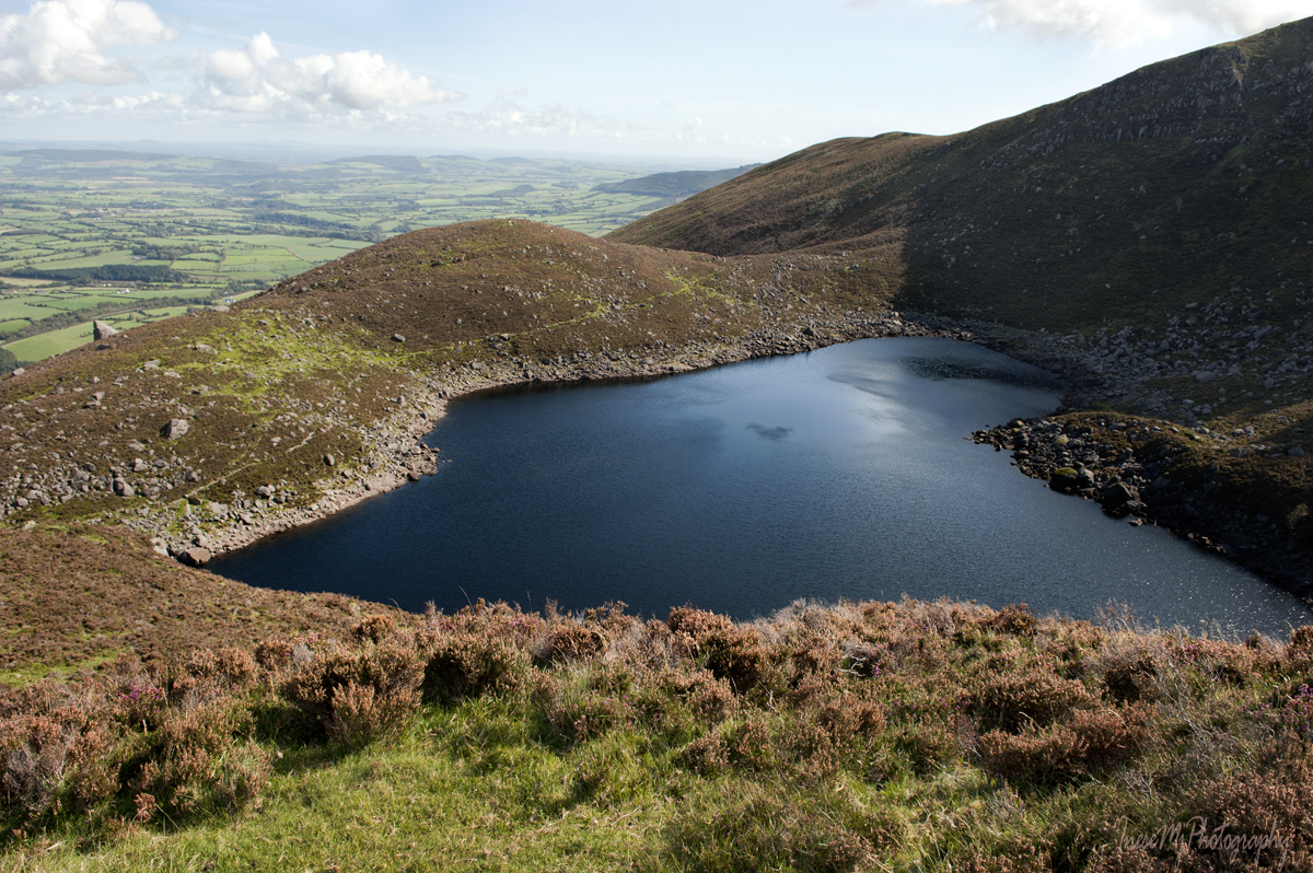
I am standing above the Crotty’s Lake, Crotty’s Cave somewhere under my feet. To get there, you can either hike from any other part of the Comeragh Mountains, or choose to walk a road, which leaves you with only 450 m of rough land to cross.
This is Bernard Cullinane, the owner of the land around the Crotty’s Lake and a trusted source of information 😊. You can stop at The Ass’s Ears and have a cup of tea before you walk further up the slope.

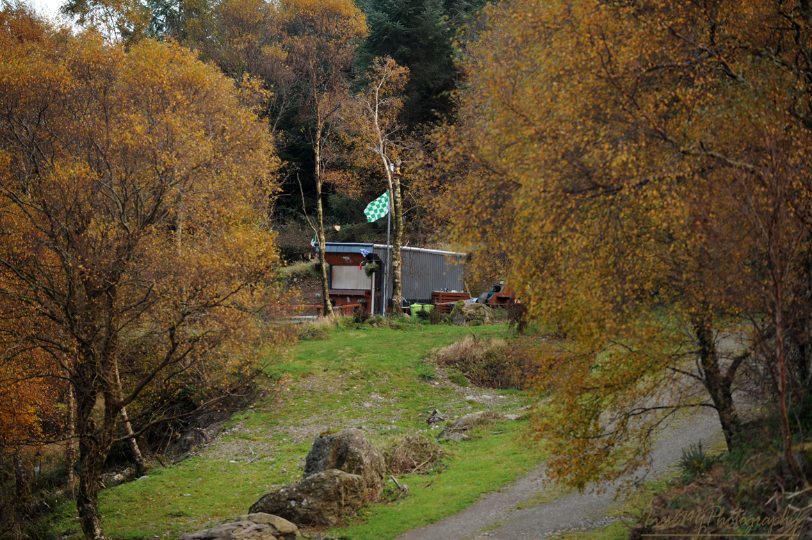
When the pandemic began, he and his family did a great job on their picnic area project.
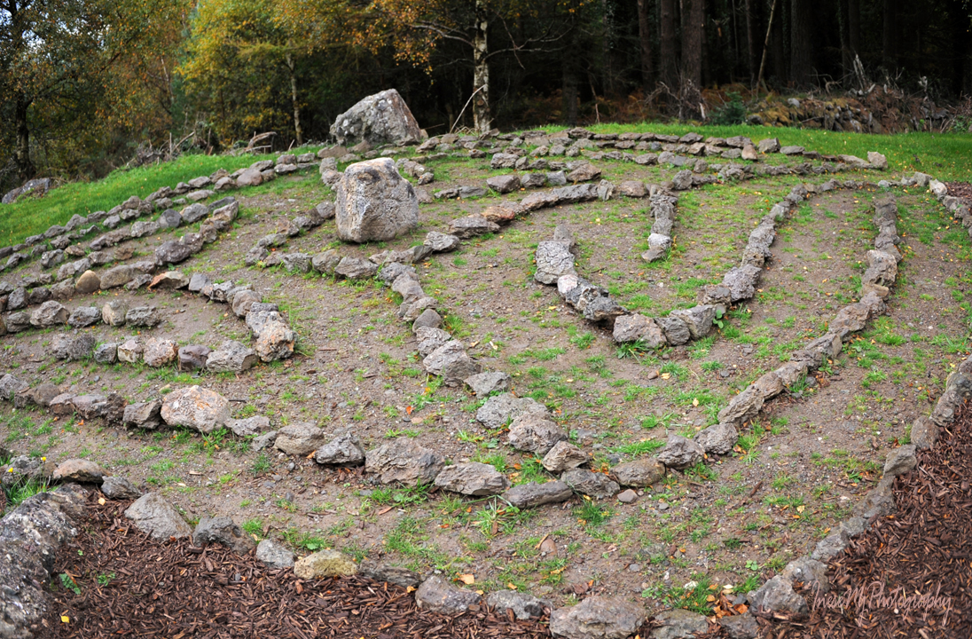
My favorite is The Labyrinth.

Bernard’s sister Vera has an Instagram page where you can share your pictures of the lake and the area.
Another great source of information is Barry Dalby of EastWest Mapping, a company providing cartographic services. They have a Facebook page too. EastWest maps are very detailed and linked with historical data. You can also download an EastWest app on your phone.
•
When I say ‘we will walk a road’, I mean we will walk about a mile of a steep grassy path with the mountain slope on our left and a breathtaking bird-eye view on our right. We can expect to see some wildlife too. One day a fox stuck his head out of a gorse bush right in front of me. We had an eye contact and after a minute he slowly retired back into the bush. I kept walking for another while until I had to stop and take a breath. It is when I realised that the fox had been following me all the way up. I slowly moved towards him to take pictures.
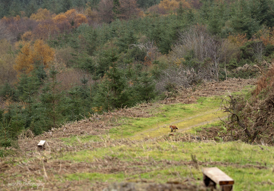
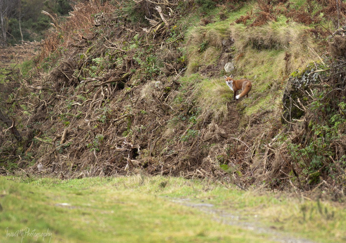

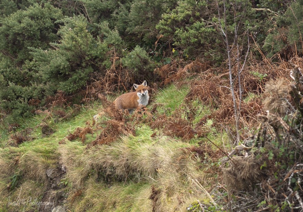
I have never seen a wild fox that close. Left a piece of banana for him – it must be the reason he walked in my steps all the way. I know they love bananas.
Another beautiful thing that makes your hike delightful is the mountain stream gurgling along the road.


Even sheep appreciate the view.
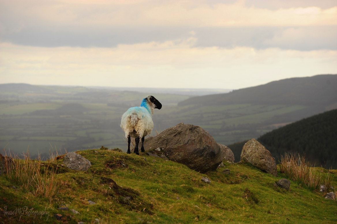
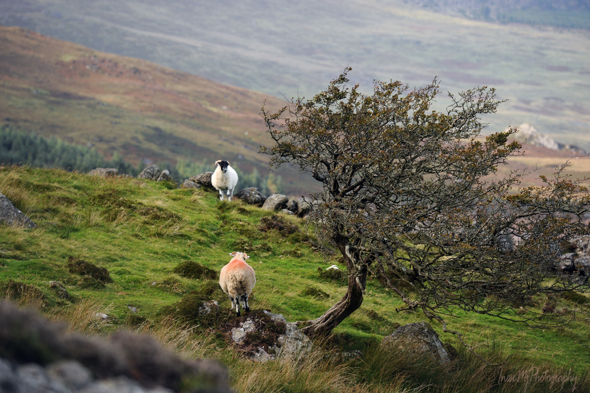
You will see many sheep around.


This is the last stretch of the road before climbing up the slope. I am not sure the road was actually there 300 years ago, but I can easily imagine William Crotty riding along.

Breathtaking view on the right.

The path to the lake is marked, but you will like some little deviations to take pictures of many interesting objects and wildlife. Be careful not to stray away though. Return to the marks and walk from one mark to another – you will save your energy and time.
You might see a rabbit or Irish hare.

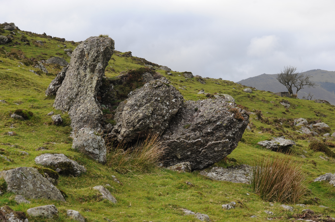
The rocks of many fantastic shapes will fuel your imagination


I found a rare Crimson waxcap – Hygrocybe punicea – among some other waxcaps. You can see them from far away.

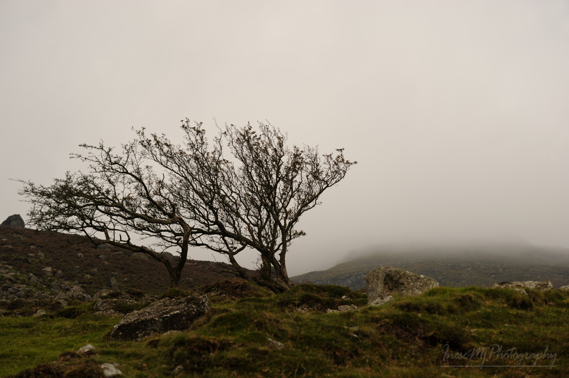
Gnarled Hawthorn trees – some of them long dead- are a striking part of the landscape.
I didn’t see a hoof-marked rock, but spotted this skull mark from a distance. It looks pretty menacing.

There are four arrows to give us the right direction, but it is up to us where to put our feet, so choose wisely. Another 450 m, or a third of a mile, and we will reach the lake, but don’t expect it to make it to the lake in 5 minutes, especially if it is your first time on the slope 😊 How about 35 minutes? That sounds reasonable 😊

We will complete the hike by the weekend.
Happy Thanksgiving to all!
 Have a wonderful day!

hello,, gate was locked and on private land,,not certain how you did this trip,,,marie
Hi Marie. Than you for your concern. I have a permission from the land owner. Hope you have a wonderful day.