It is my last post of the series, but I will return to the mountains as I always do, and share more pictures in the future.
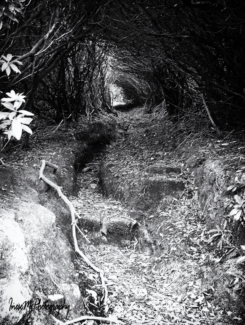
I will probably visit the mountains in May to walk through the Rhododendron Fairy Tunnel…
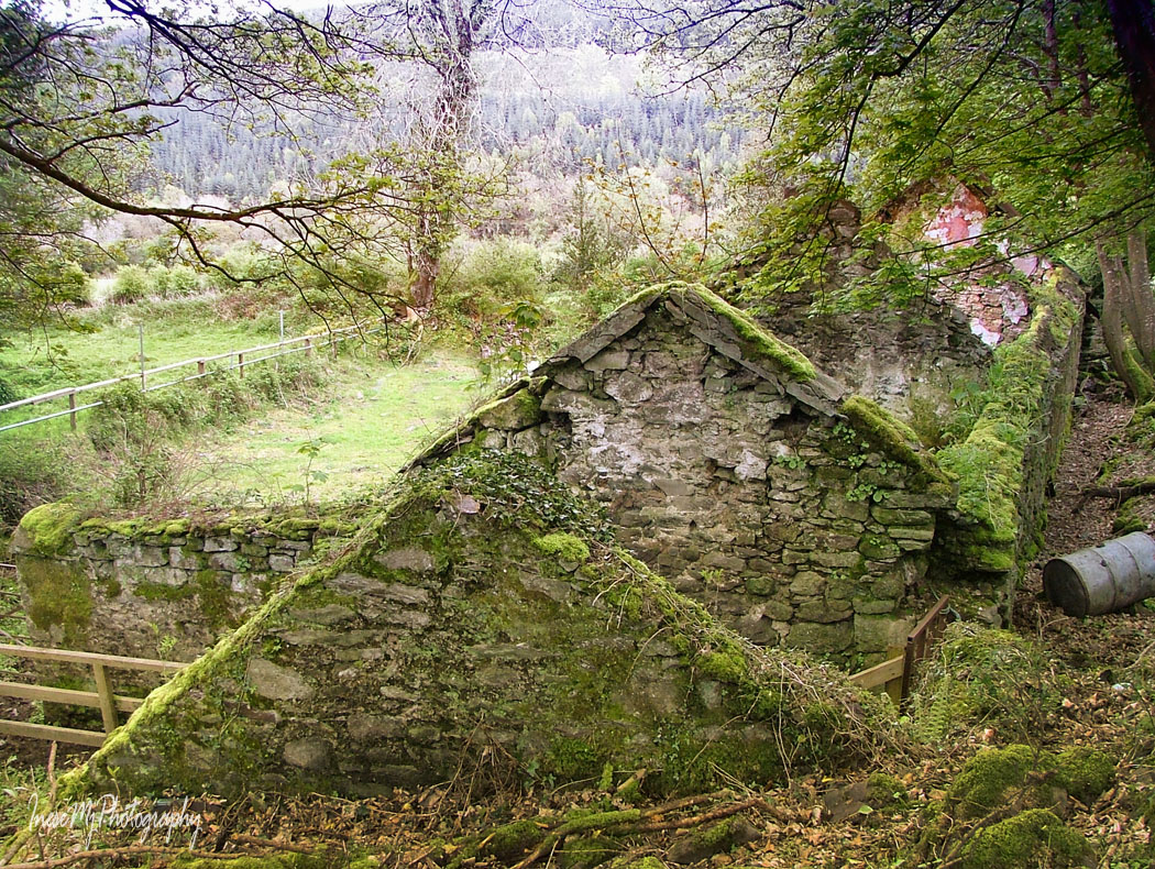
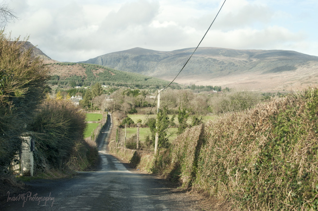
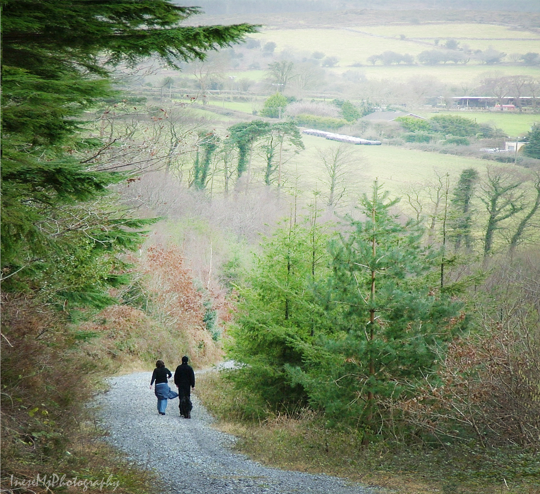
…and revisit Glenary village.
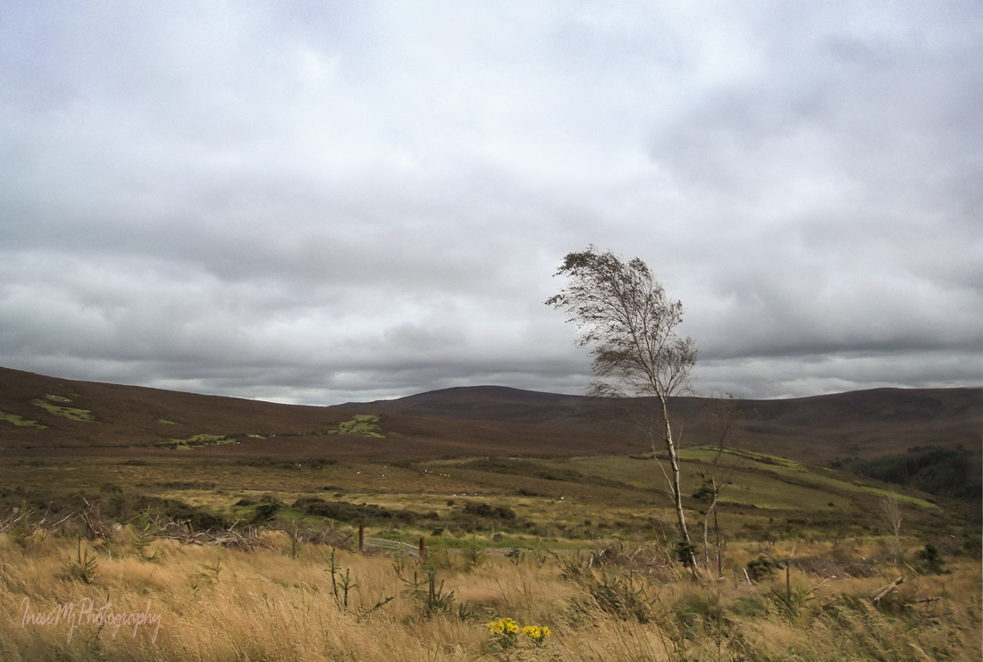
I am also curious if the tiny spruces and larches that are hidden in the tall grass haven’t grown up already since the picture was taken in 2013.
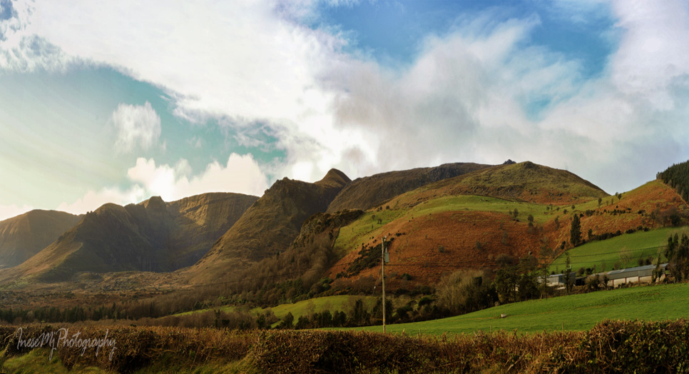
To add the last touches to my photo story about Comeragh Mountains I drive along the Eastern ridge which I hope to revisit when the weather gets more summery. Late afternoon sun paints the mountains in rich, warm colors.
I park at the side of the road and enjoy the beauty of Stookangarriff Ridge and Coumshingaun. At the bottom of the almost vertical cliff there hides Ireland’s most beautiful lake.
I continue driving along the mountain road, and it feels like flying a small airplane.
More coums, big and small …
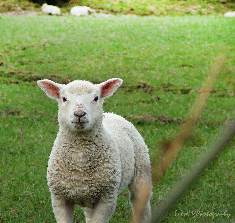
… and sheep, always sheep, with red, blue or yellow painted bottoms.
The mountains are their life. Rough life.
To complete a full circle around the Comeraghs, I drive along the Southern part of the mountains.
Once I stuck in this place for a couple of hours, because my car refused to start. It did, eventually, and I still have no idea what happened. Must be fairies. Anyway, as I managed to start the car and hurried home, I looked in the rear view mirror and noticed something unusual in the sky. I got out of the car and could not believe my eyes: a perfect heart-shaped cloud was hanging at the edge of the hill, and another cloud that looked like a pair of angel wings, was hovering over the heart. I had already packed my camera, but managed to take it out quickly and get a couple of shots before the clouds disappeared.
This Cloud Heart is here for all of you who took your time to read about my favorite mountains, and to be an active participant of our grand hike 🙂 Thank you so much for all your wonderful comments and friendship! When I take more photographs to put up another Comeragh mountain blog, we will meet again. Stay fit 😉
We are rounding up our calorie-burning Comeragh hike. Before we are done, I want to share this post about a small but very important part of Comeragh Mountains – Cannon Hill, one of beloved places of Clonmel people ( I have already written about Carey Castle, St. Patrick’s Well and some other local favorites).
We take the left turn up a narrow road just before the Carey Castle sign, and start our walk along the side of Cannon Hill. There are two roads, the upper one is wider, and there is a nice space for parking. A couple of years ago I came here to assess the old farmhouse ruins for a photo session. I had only one hour, but there was the man with his dogs, and he started a conversation that lasted 40 minutes 🙂 He introduced himself as Richard, and it came out he is a father-in-law of my former colleague, but the most important, he is Clonmel history enthusiast, it is why I forgot about time and listened to the stories about his ancestors and historical events I have never heard about before. The funnies part is that recently I came across an article where another man mentioned his long conversation with Richard that took place in exactly the same spot 🙂 So, if you want to learn more about history of Clonmel, hang around Cannon Hill.
The best part of Cannon Hill is the views we enjoy as we walk.
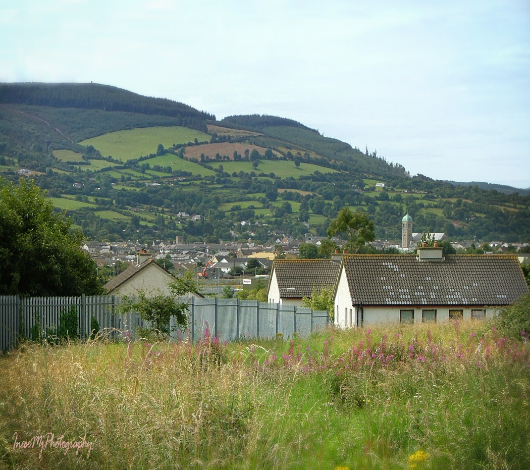
This is Kilmacomma Hill. It looks like a huge green sleeping bear. In background you see Galtee mountains some 20 miles away.
The fertile land between Comeragh, Galtee and Knockmealdown Mountains is traditionally called Golden Vale.
Knockmealdown mountains to the west of the Comeraghs.
Cannon Hill is a great place to walk a dog. Or two. This is us returning from that photo session.
The ruins of an old farmhouse are easy accessible in the winter time, but overgrown with the weeds in summer.
It takes about half an hour to get here from the car park, and even our dogs are tired.
This is another walk around the Cannon Hill, and another model 🙂
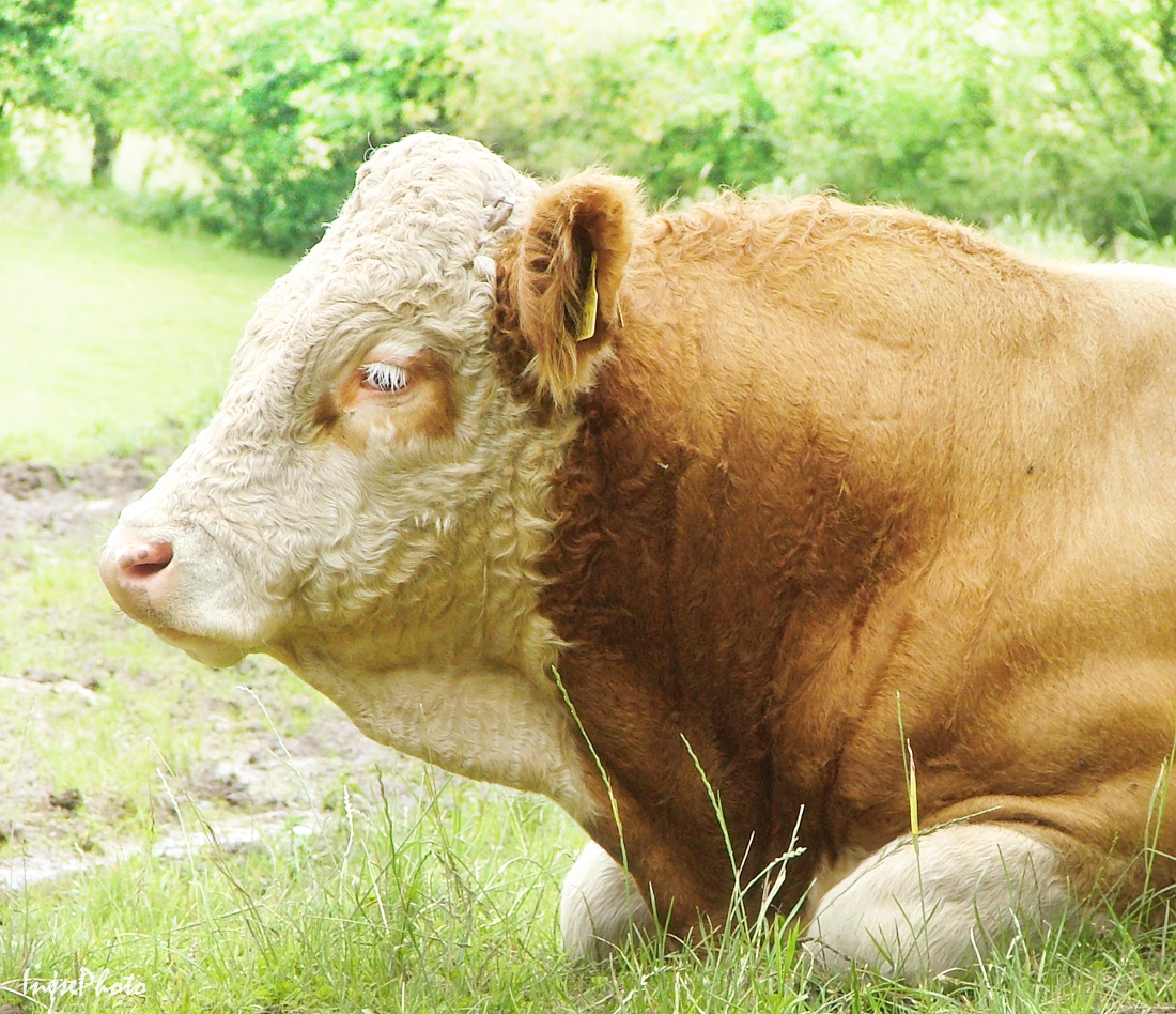
Local fauna can include Deer, but my only picture of a fawn sleeping in the grass is lost in a hard drive crash. I photographed this herd of cows, and discovered the fawn in background. All that is left from that shoot is this big lad with gorgeous albino eyelashes.
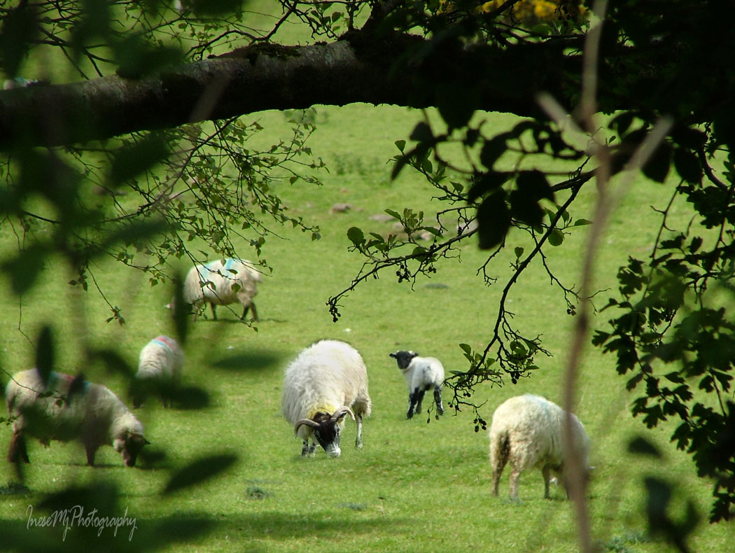
And of course, there are sheep. It is Ireland 🙂
It takes a couple of hours to explore all the paths.
These are two versions of the same song – different accent ;). Tom Healy and Brian Coll sing about all the places I have mentioned in my blog, so you can learn how to pronounce the Irish names 🙂
Thank you for taking this simple local walk. Treasures are often closer than we know.
In my second Comeragh post, I shared photographs of the road that crosses the mountains from Clonmel to Ballymacarbry. It is how we are going to drive ( or walk) to the Nire Valley.
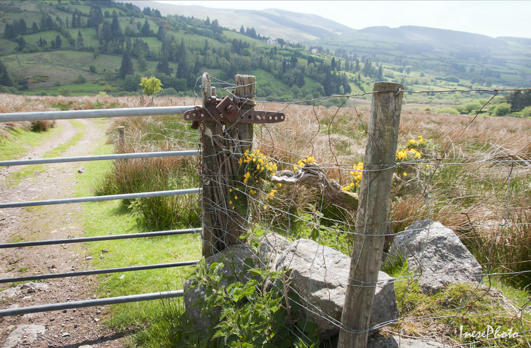
I have never hiked in this area, but I know that there are several trails and loops, and beautiful lakes. An annual Nire Valley Walking Festival page might help you make your choice, and there is an information board at the car park from where I took most of pictures for this blog. Some of the trails start from the car park, but if you want to start with a hike to Coumfea and Coumalocha, and see a beautiful stream falling from the Coumfea Plateau, you have to walk back to this gate and start from here.
In the picture below, car park is on your left, and several trails start here. If you hike up the hill to the left, you will reach the south slope of beautiful Knockanaffrin ( the pyramid-shaped mountain in my previous post), and if you turn to the right, at least four spectacular glacial lakes – coums are waiting for you. These coums were formed during the Ice Age. I don’t know if I ever hike to see Nire lakes – the shortest trail will take 4-5 hours roundtrip, and I don’t know if I am ready for that, but you can visit Get Lost Mountaineering blog to have an idea. It features both ridges – Knockanaffrin and Coumfea.
Curraghduff with Fauscoum in background. You don’t necessarily have to start your hike from the Nire Valley side to get here. There is a track that starts on the other side, over the Gap of the Knockanaffrin Ridge ( featured in my second Comeragh blog). All the trails vary from 5 to 25km. Some loops may require an overnight camping in the mountains. There are also cliffs and gullies for the experienced mountain climbers.
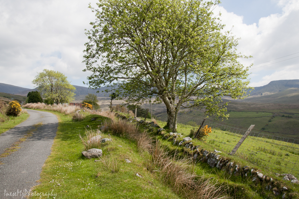
Nire Valley photographs taken over the years.
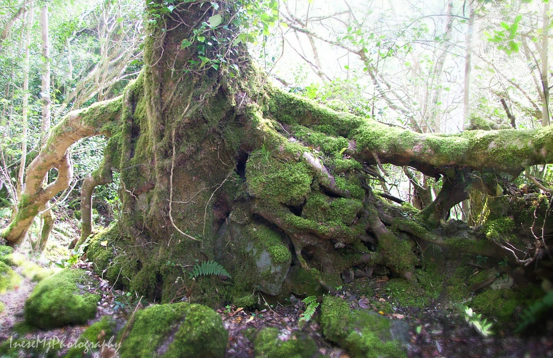
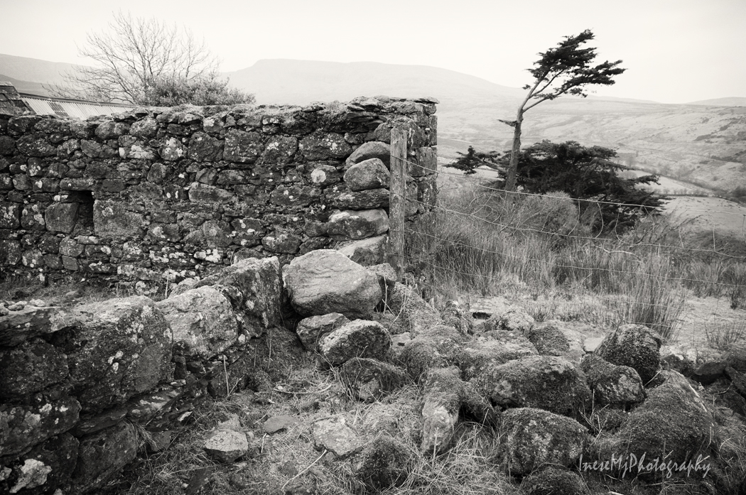
Ruins of the old farm and spectacular stone wall attract photographers.
I am glad that you visited this beautiful part of Comeragh mountains. I know that I failed to take you to the Nire Lakes, but I have visited some other mountain lakes, and hope to share them with you in my future posts. This time we didn’t hike, but please be fit for the next weekend’s two mile long round trip, some climbing, and magic 🙂
Today we will do a bit of hill walking as most of us have consumed those extra calories between the Christmas and New Year day 😉 Comeragh Mountains is a good place to start since you have already seen them from the top of beautiful Slievenamon. Here she is, my favorite mountain, as seen from the ascent to the Long Hill of the Comeraghs. First of all we will find the source of peculiar clouds that look so nice in the photographs, so let’s walk towards Slievenamon and have a closer look.
I always blamed Bulmers for the clouds – or Magners, as the product is called outside of Ireland. Famous Irish Cider brewery and the cloud maker, a timber company Medite, are situated in close proximity. Now the justice is restored thanks to the reader who pointed out my mistake.
Dramatic clouds enhance your photographs, but is this steam emission harmless? I don’t know.
The Comeraghs are formed by twelve mountains and various hills. They are located between Clonmel, Ballymacarbry, Dungarvan and Rathgormack. The highest point is at 792m ( 2,598 ft). In the photograph below you see the foothills of the Comeraghs from Clonmel side of the mountains. The upper part of the hills is wrapped in a tick cloud.
This picture was taken in March. The setting sun colored the tops of the bare trees and made them look like autumn foliage.
You are standing on the top of Scrouthea Hill – Cnoc a Chomortais. To get there you walked from Clonmel town all the way up, catching your breath and feeling lightheaded. Well, you can also drive most of the way. If it is an August Bank Holiday, another thousand people are walking up the hill beside you, partaking in the annual tradition of The Holy Year Cross Walk. The Holy Year Cross was erected in 1950. The original timber cross was carried by fifteen strong men.
I hope you already recognised the mountain in background 🙂
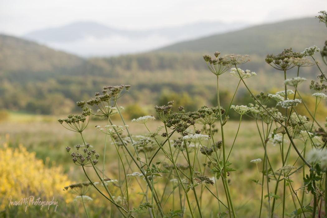
From here you will walk south. The picture gives impression of a rather flat surface. In fact, the descent and the following ascent are quite steep. All the brown-colored area is infamous Comeragh bog. It is wet all the year round.
In summer, the bog turns purple with the blooming heather.
Before you continue uphill to the crest of the Long Hill, walk off the main path to visit the abandoned farmstead that used to be a home to the Ireland family.
The Ireland family farmstead is the most tranquil place I have ever visited. You will spend at least an hour around the farmstead reflecting and meditating, taking photographs and enjoying the beauty and serenity. Only a hiking club party might disturb your peace, but this seldom happens. A lone hiker will more likely wait until you leave, and come down later.
After walking through the bog you will appreciate the flat, firm and dry land and silky grass of this oasis. How sad it is that the family had to desert their home and fields as they had given up the struggle to work the land.
By the way, the Ireland children had to climb the hill to attend the school in Clonmel.
Leaving the oasis you continue uphill through the bog to the summit of the Long Hill ( just for a spectacular view), keep walking south until you reach Lachtnafrankee mountain, and then a steep ascent takes you to Glenary river valley.
Across the river, there are remains of Glenary village. This was a street with the houses on the riverside and the fields on the hillside.
The village mostly consisted of clochans – clusters of houses with a shared entrance and farmyard.
It is difficult to believe that the last inhabitant left the village in the 1960s. His house had thatched roof and red door. It only took a few decades for the Nature to consume the buildings so that some of them literally disappeared.
Glenary with Long Hill and Laghtnafrankee mountain in background.
The view from the hillside over the valley. Carey Castle I recently wrote about is in the woods behind the cottage.
To return to the Cross you climb a steep and muddy track – you will need your Wellies for that. A herd of cattle walk in the deep mud twice a day, which doesn’t improve the surface of the track. This is the view from the top. The Cross is on your left, but it is not visible from here.
These photographs are 8-10 years old. I have no time to return to the Glenary Valley, but I visit Carey Castle every year.
It was a long walk but we only covered a tiny part of the mountains.
I am taking a break, and hope you will be in a good form to continue hiking in the Comeraghs in two weeks from now. Meanwhile, I will repost some of my old stuff from 2014.