
Last winter I posted Comeragh series to introduce my favorite mountains. Today I am taking you just a couple of miles west to the Knockmealdown range. We will cross Knockmealdown mountains twice – from Clogheen and from Newcastle, in summer and in winter. Today I will also share a few ten years old photographs from my hike across the western part of the range. Good old days 🙂
But first we have to drive through the village of Ardfinnan, and the most famous feature of Ardfinnan is not its castle, but its gaggle of geese. My former colleague, who is originally from Ardfinnan, once told me that it was his great-grandmother who left her geese to the village in the beginning of the 20th century. I cannot tell you how many generations of geese passed since their common ancestors waddled on the banks of River Suir. In winter they fly to the Marlfield lake and return by the end of February. It is a very well organised group, and you can see them crossing the road and walking around as they please.


Young goslings look very cute.

We drive to Clogheen and turn onto the road that takes us to The Vee (V), a sharp hairpin bend. It is a scenic drive through the forest and the rhododendron bushes, up the side of the Sugar Loaf Hill. The Vee road was built after the Great Famine of 1847.

As we are approaching The Vee, suddenly a breathtaking view opens up.
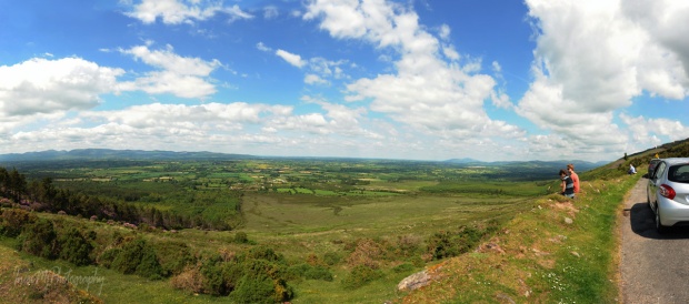
Galtee mountains stand at the other end of the Golden Vale.
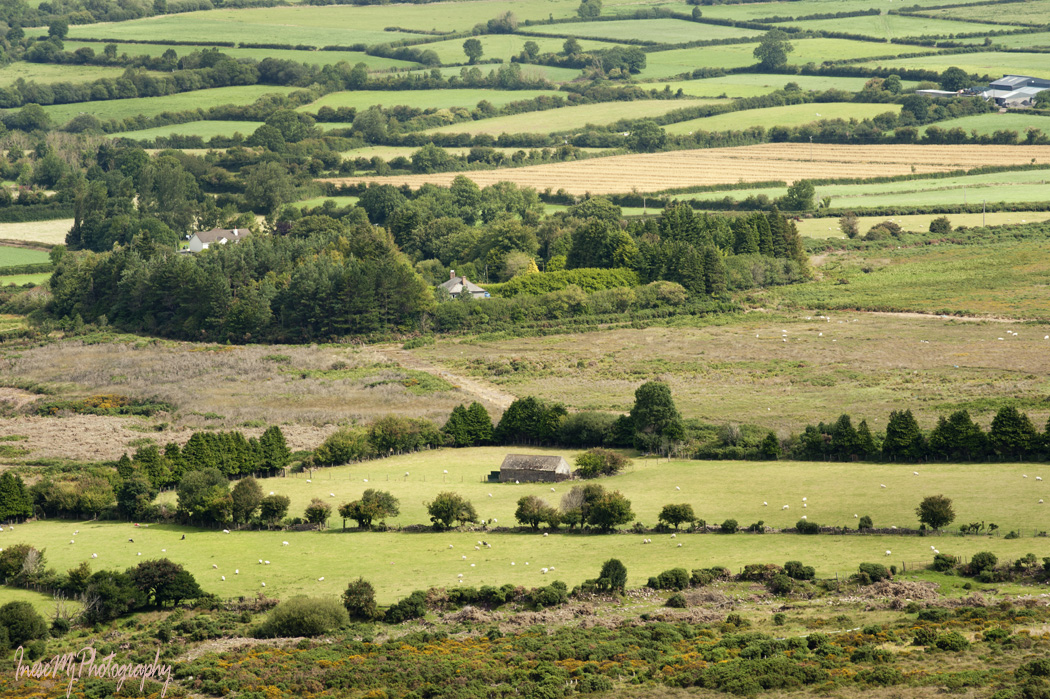
Patches of farmland change color with the seasons.
I think it is a good time for a good song about Kitty from Knockmealdown 🙂
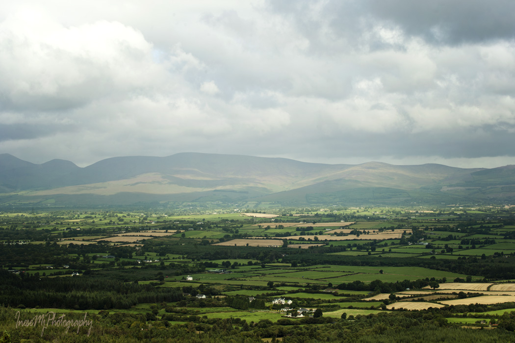
Even better view after the switchback.

The road goes on the side of the Sugar Loaf Hill, a mountain peak with elevation of 663 m. From the road you can see (and easy reach to) a beehive-shaped stone monument, the last resting place of the eccentric Mr Samuel R. Grubb, appointed High Sheriff of Tipperary (1855-1921). Mr Grubb came from a former Quaker family who had been cast out of the Quaker Society for their great fondness for dances and similar amusements. In his will he requested that he be buried “in a beautiful and romantic spot on the side of Sugar Loaf hills“, and his coffin be placed upright. Tenants and employees of Mr Grubb carried his coffin to the grave.

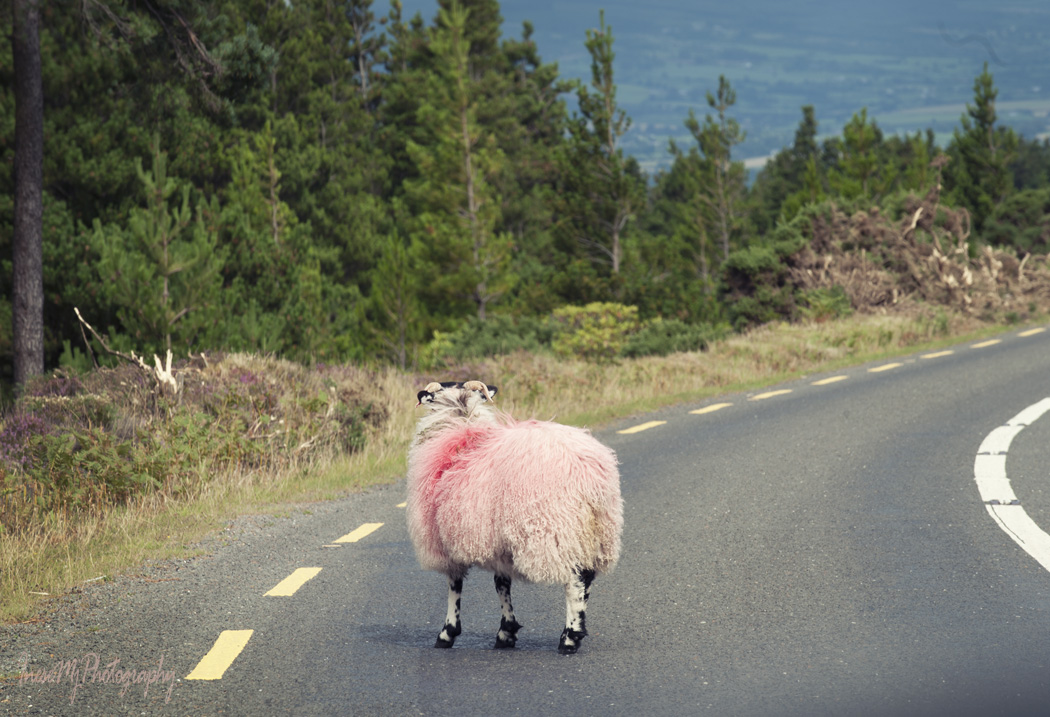
The sheep are everywhere, adding excitement to the drive.

We stop at the viewpoint above the famous Bay Lough. Knocknalougha (Knockaunabulloga) Hill is covered with thick rhododendron growth and looks all pink in May. As beautiful as it looks, rhododendron is an alien species, and spreads like a weed.

Why is Bay Lough famous? I will tell you everything in my Halloween post 🙂
The rest of the road looks more or less the same. On some stage the road forks: you can drive straight and visit Cappoquin, or take the right turn to Lismore.


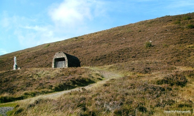
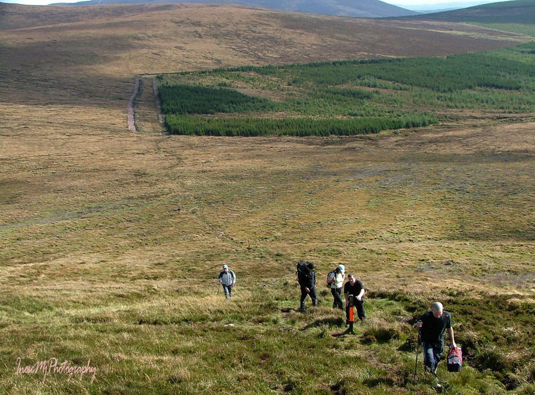
Here are some photographs taken during the epic hike from the Bay Lough car park to Araglin. In the picture below you see the Bianconi hut and the Grotto. The hut served as shelter for Bianconi Coaches, horse-drawn carriages that provided transportation services around the south and south-west just for 1 penny a mile.
This hike took place ten years ago in September 2007.

The highest peak of the range is Knockmealdown (794m). They say that on a clear day the highest Kerry mountains can be seen from the summit.


Through the green tunnel, down the hill we are heading to Lismore. I will write about Lismore some other day.

We have crossed the Knockmealdowns through the Vee Gap that is well seen in my opening picture with the Sugar Loaf on the right and Knocknalougha on the left side. Next time we are going to take the other road, and you will see what the mountains look like in winter.
Thank you for your company!
![]() Have a wonderful weekend!
Have a wonderful weekend!
