Month: February 2017

Till we meet again

comeraghs

It is my last post of the series, but I will return to the mountains as I always do, and share more pictures in the future.

I will probably visit the mountains in May to walk through the Rhododendron Fairy Tunnel…

fairy tunnel

09-031

…and revisit Glenary village.

09-188

I am also curious if the tiny spruces and larches that are hidden in the tall grass haven’t grown up already since the picture was taken in 2013.

comeraghs

To add the last touches to my photo story about Comeragh Mountains I drive along the Eastern ridge which I hope to revisit when the weather gets more summery. Late afternoon sun paints the mountains in rich, warm colors.

I park at the side of the road and enjoy the beauty of Stookangarriff Ridge and Coumshingaun. At the bottom of the almost vertical cliff there hides Ireland’s most beautiful lake.

I continue driving along the mountain road, and it feels like flying a small airplane.

Comeraghs

More coums, big and small …

comeraghs

… and sheep, always sheep, with red, blue or yellow painted bottoms.

comeraghs

The mountains are their life. Rough life.

comeraghs

To complete a full circle around the Comeraghs, I drive along the Southern part of the mountains.

Once I stuck in this place for a couple of hours, because my car refused to start. It did, eventually, and I still have no idea what happened. Must be fairies. Anyway, as I managed to start the car and hurried home, I looked in the rear view mirror and noticed something unusual in the sky. I got out of the car and could not believe my eyes: a perfect heart-shaped cloud was hanging at the edge of the hill, and another cloud that looked like a pair of angel wings, was hovering over the heart. I had already packed my camera, but managed to take it out quickly and get a couple of shots before the clouds disappeared.

This Cloud Heart is here for all of you who took your time to read about my favorite mountains, and to be an active participant of our grand hike 🙂 Thank you so much for all your wonderful comments and friendship! When I take more photographs to put up another Comeragh mountain blog, we will meet again. Stay fit 😉

My next blog is about creatures 🙂

inesemjphotography  Have a wonderful weekend!


Cannon Hill

cannon hill

We are rounding up our calorie-burning Comeragh hike. Before we are done, I want to share this post about a small but very important part of Comeragh Mountains –  Cannon Hill,  one of beloved places  of Clonmel people  ( I have already written about Carey Castle, St. Patrick’s Well and some other local favorites).

We take the left turn up a narrow road just before the Carey Castle sign, and start our walk along the side of Cannon Hill. There are two roads, the upper one is wider, and there is a nice space for parking. A couple of years ago I came here to assess the old farmhouse ruins for a photo session. I had only one hour, but there was the man with his dogs, and he started a conversation that lasted 40 minutes 🙂 He introduced himself as Richard, and it came out he is a father-in-law of my former colleague, but the most important, he is Clonmel history enthusiast, it is why I forgot about time and listened to the stories about his ancestors and historical events I have never heard about before.  The funnies part is that recently I came across an article where another man mentioned his long conversation with Richard that took place in exactly the same spot 🙂 So, if you want to learn more about history of  Clonmel, hang around Cannon Hill.

The best part of Cannon Hill is the views we enjoy as we walk.

2015-02-555

Cannon Hill

This is Kilmacomma Hill. It looks like a huge green sleeping bear. In background you see Galtee mountains some 20 miles away.

The fertile land between Comeragh, Galtee and Knockmealdown Mountains is traditionally called Golden Vale.

135

Knockmealdown mountains to the west of the Comeraghs.

Cannon Hill is a great place to walk a dog. Or two. This is us returning from that photo session.

Cannon Hill

The ruins of an old farmhouse are easy accessible in the winter time, but overgrown with the weeds in summer.

I already shared this photograph as a part of my project two years ago.

It takes about half an hour to get here from the car park, and even our dogs are tired.

This is another walk around the Cannon Hill, and another model 🙂

Local fauna can include Deer, but my only picture of a fawn sleeping in the grass is lost in a hard drive crash. I photographed this herd of cows, and discovered the fawn in background. All that is left from that shoot is this big lad with gorgeous albino eyelashes.

And of course, there are sheep. It is Ireland 🙂

It takes a couple of hours to explore all the paths.

Cannon Hill

These are two versions of the same song – different accent ;). Tom Healy and Brian Coll sing about all the places I have mentioned in my blog, so you can learn how to pronounce the Irish names 🙂


Thank you for taking this simple local walk. Treasures are often closer than we know.

www.inesemjphotography.com  Have a wonderful weekend!


Magic road to the Mahon Falls

mahon falls

It was a sunny day elsewhere, but Mahon Falls greeted me with a perfect rainbow towering over the mountains. This picture was not retouched – all the colors are natural. I parked at the side of the Magic Road and held my breath. I used a wide lens for this picture, but in fact the rainbow was so close that I could see the colors on the grass just a few meters away.

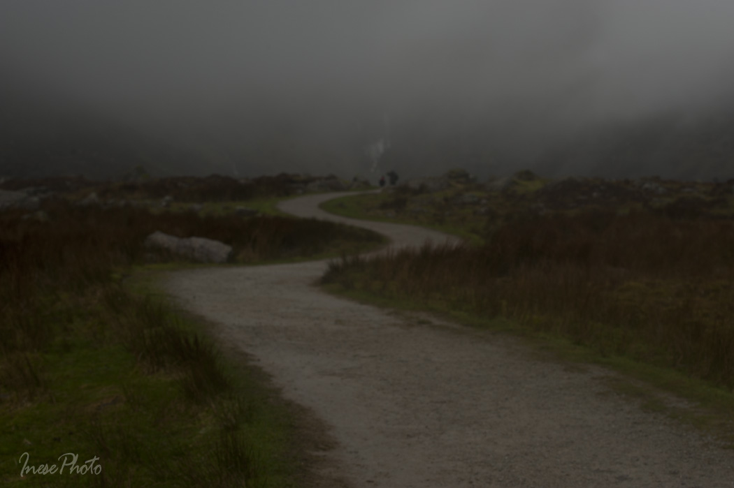
I drove under the rainbow and turned around the corner wondering what the Falls look like today, and sure there was a good reason for the rainbow to appear because the Coum Mahon was hosting a huge cloud. I found a spot, parked my car and fearlessly walked into the cloud.

mahon falls

I did it three times and had to return half way because the rain and the wind made it impossible to take any picture of the waterfall.

This was the worst moment. The lens got all wet and foggy, and I had to give up.

mahon falls

On the other side of the car park the weather was beautiful and even my windscreen was dry. I parked so that I could see the ocean and the rainbow.

mahon falls

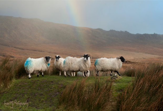
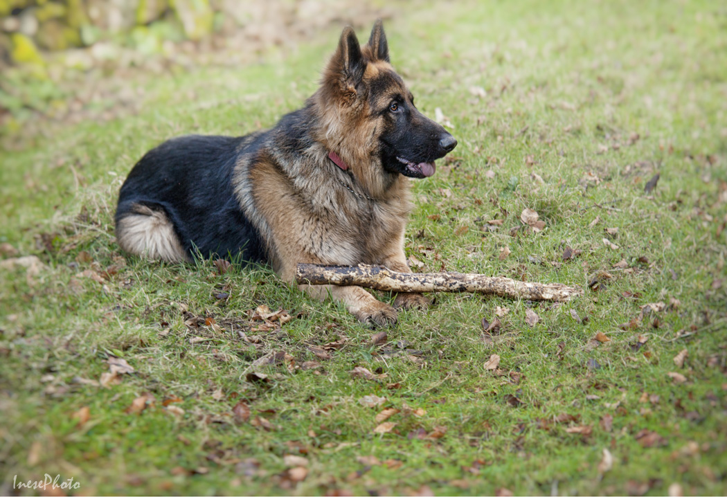
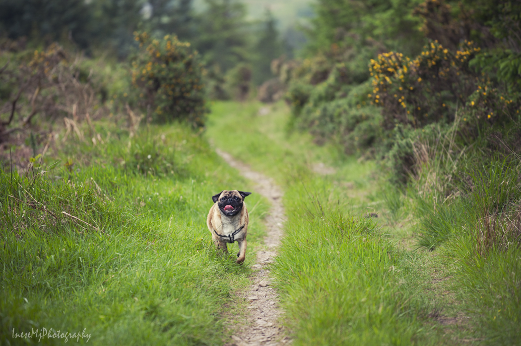
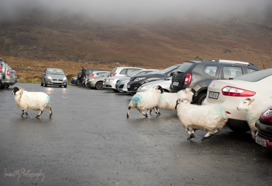
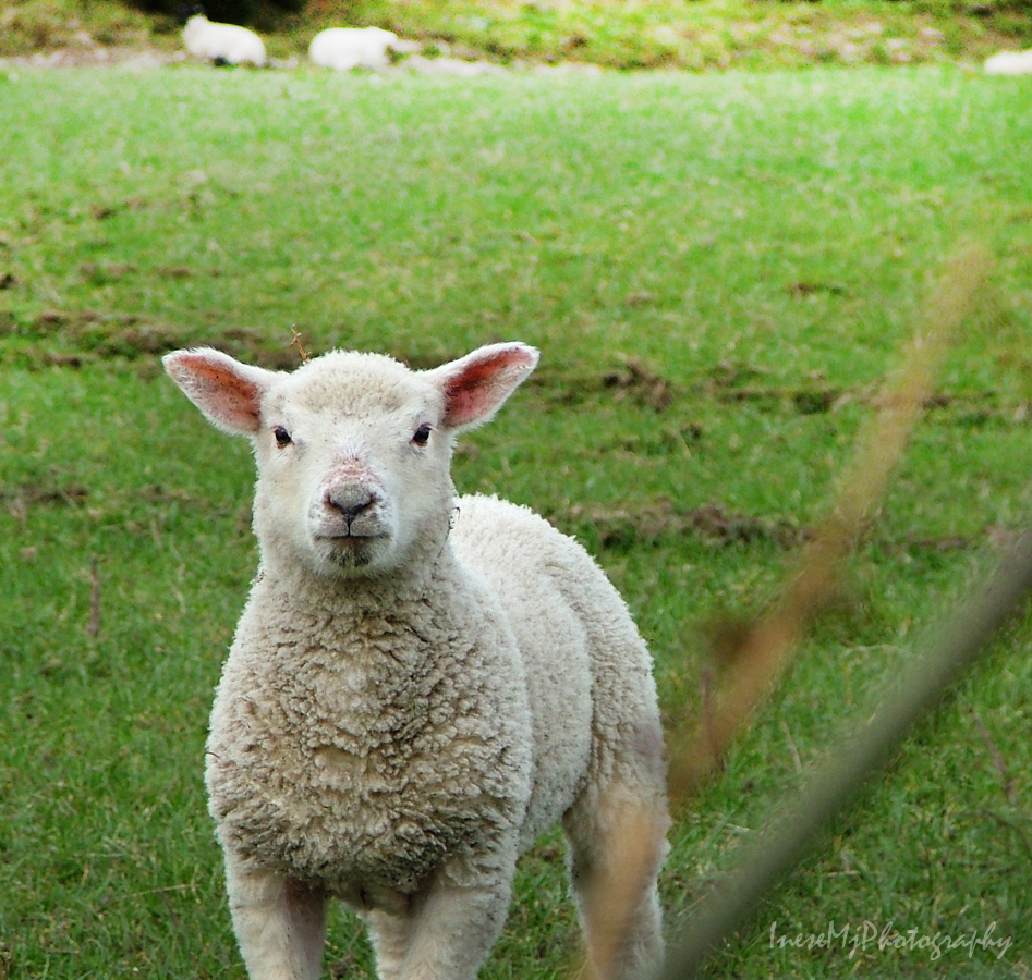
I didn’t get to see the Falls that day, but other photo opportunities were literally running around 🙂

mahon falls

The cloud was still there but the rest of the world was dry and sunny.

mahon-falls1

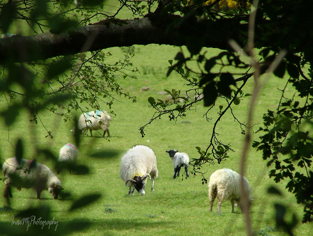
The sheep decided to migrate, and it was fun to watch them

mahon falls

There was nothing else to see and I went home to return in two weeks.


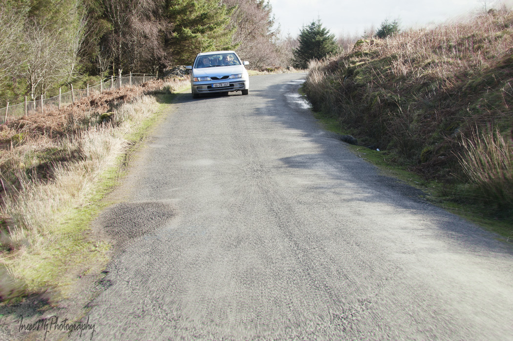
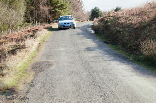
This time the sky was blue with no clouds and rainbows. I approached the Magic Road, took this picture, drove a little bit further down the hill, and because there were no cars around, I did what everyone else does in this place: put my car in neutral, and rolled UPHILL with lively speed and style. This is a magic road after all 🙂

magic road

Some people say it is an optical illusion and there is no elevation. Look by yourself. This car was rolling backwards on neutral from where I stand. The family inside it were so excited that the driver forgot to use his steering wheel and almost drove the car in the ditch. There definitely is an elevation, and I actually started even further down the hill. You can watch a good few videos on Youtube about this road. Fairy magic, if you ask me.

magic road

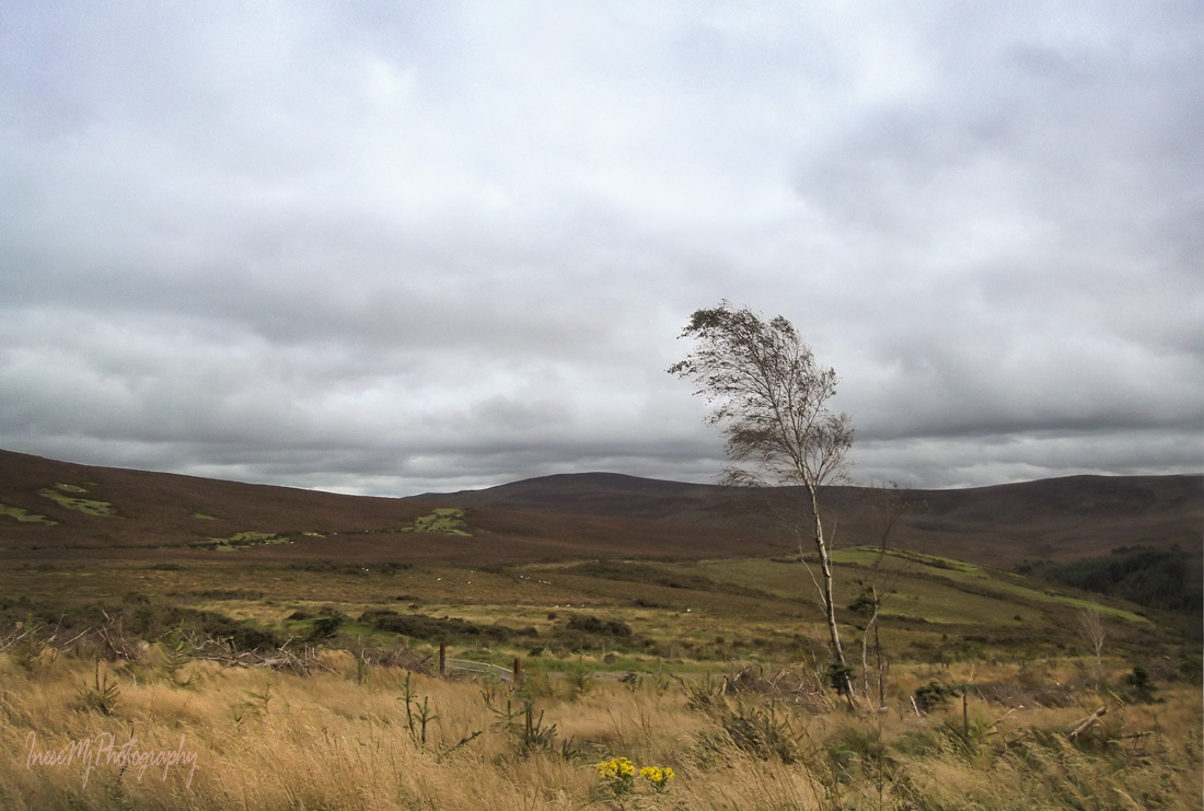
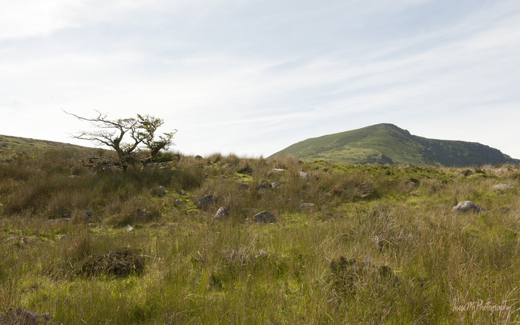
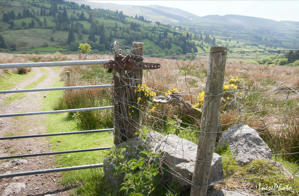
These Hawthorn trees should give you a clue of where the magic comes from.

Comeraghs

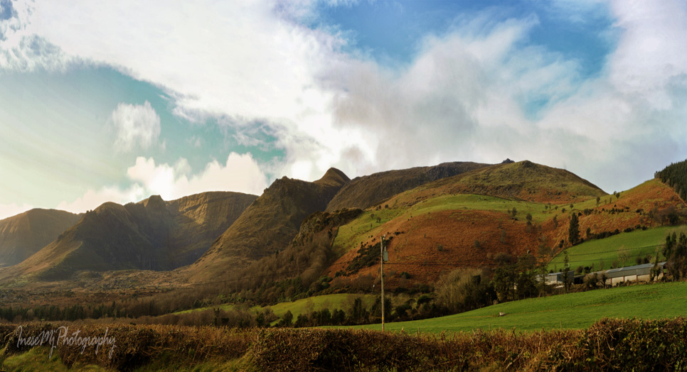
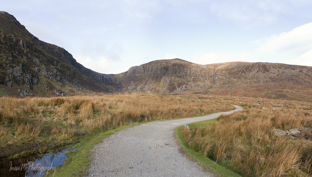
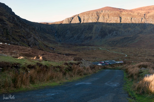
Coum Mahon in all its glory. The path to the waterfall is about one mile long, and there is no climbing necessary. The path is wheelchair accessible almost all the way down to the Falls. Coum Mahon is V-shaped, unlike the other coums (hollows) in the Comeraghs that are U-shaped. By the way, the word Comeragh, or Cumarach  in Irish, means ‘full of hollows’. Many of the hollows nestle lakes.

mahon falls

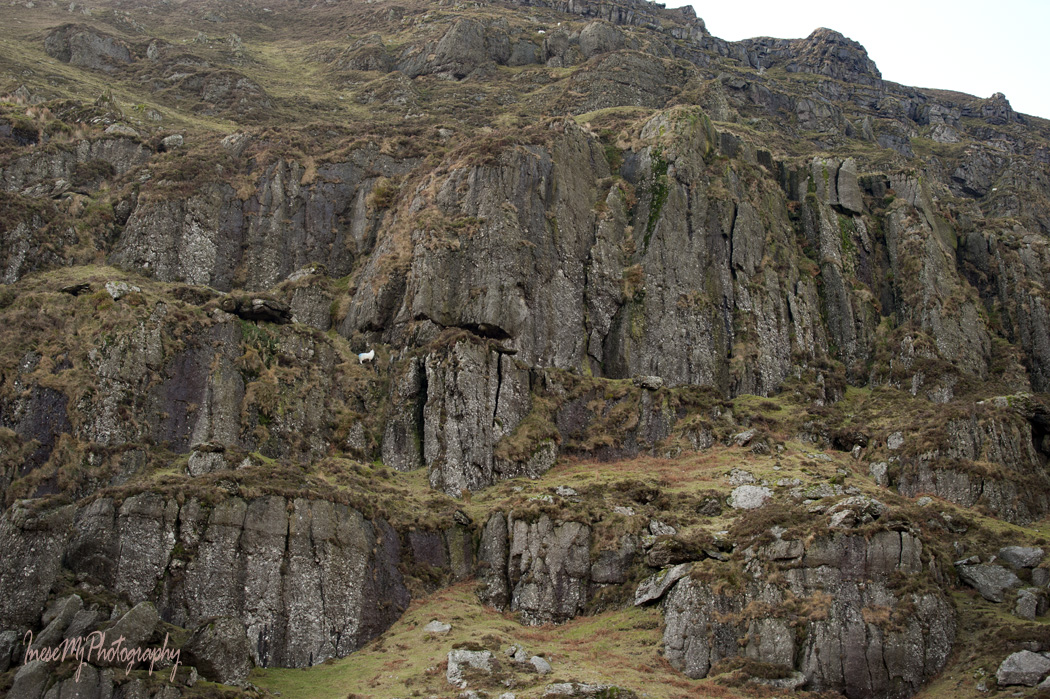
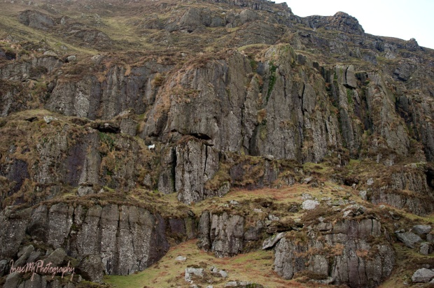
Semi-wild sheep are perched on the edge of the cliff.  If you are lucky, you might see a herd of feral goats around the Coumshingaun ridge nearby.

mahon falls

Black slug is a common sighting. The slugs are quite big and alien-looking.

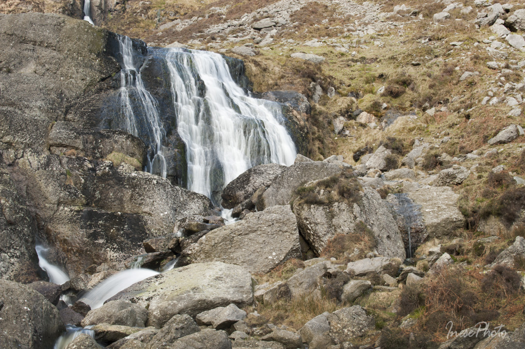
With very little rain this winter, the Falls don’t look too impressive, but nevertheless it is the most visited and loved place. It is advertised as a picnic area, with which I totally disagree. The wind is usually very strong here, and if everyone decided to bring a takeaway with them, the place would be littered in no time. If you come to visit Mahon Falls, please eat in your car with the doors closed.

Mahon Falls are a 80 m high series of cascading waterfalls. River Mahon begins her jorney from the high plateau of the Comeraghs, falls down the steep back wall and continues to the village of Bunmahon where she drains into the Celtic Sea.

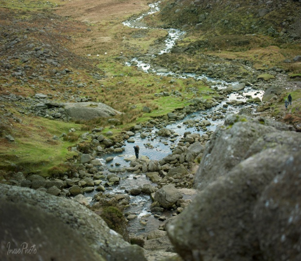
It is possible to ascend the slope quite close to the waterfall. The most popular is the right hand side route, but I have also seen people climbing the left hand side of the Falls. In both cases you have to be very careful. In 2014, two people got trapped on a steep cliff at 45 m with no way down. Luckily, they were able to call rescue services, and were lifted off the cliff by a helicopter crew.

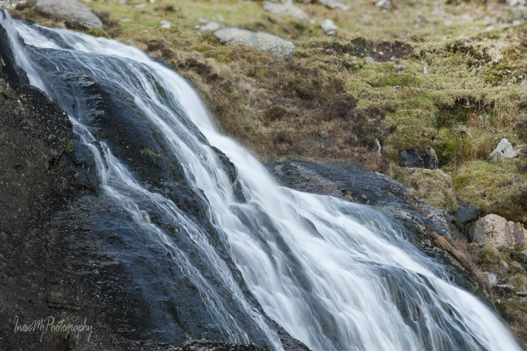
This is a closer view of the lower cascade. I was planning to climb to the upper cascade, but I saw a photographer set up his tripod in the middle of the falls,  and didn’t want to bother him. I climbed to the flat rock over which the water flows down, continued half way to the upper cascade, and returned to the valley.

mahon falls

Lower cascade.

mahonfalls

Upper cascade. I would love to climb along the gorge and take pictures of entire waterfall, but the surface was quite wet and slippy, and I didn’t even have hiking footwear, just a pair of Skechers boots.

mahon falls

A view from the top of the lower cascade.

mahon falls

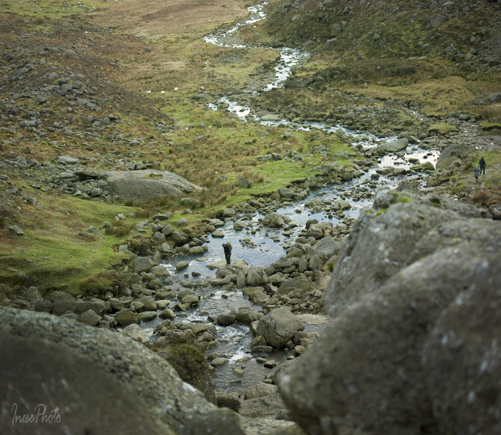
River Mahon heading south 🙂 The blue stripe at the edge of the picture is the Celtic Sea.

mahon falls

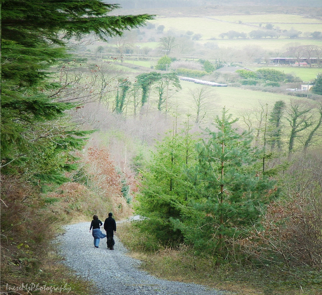
A long walk back to the car park. The sky looks washed out because there is not a single cloud in the sky, and the valley is in the deep shadow.

My plan was to continue driving to take more pictures of the other parts of the Comeraghs, but when I reached the tiny upper car park, I was absolutely blinded by the sun and had to reverse and drive back to where I came from. The contrast between the bright sun and deep shadow was striking. In the picture below you see Majestic Knockaunapeebra lit by the bright sun.

mahon falls

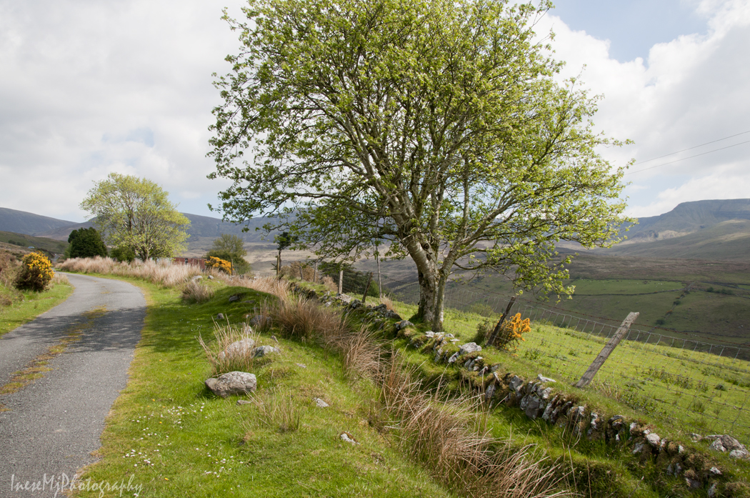
So, that was my latest trip to the Mahon Falls. Here are some photographs of the Hawthorn trees. This one was taken on that stormy day when the rainbow was hanging over the mountains for all the duration of my visit.

mahon falls

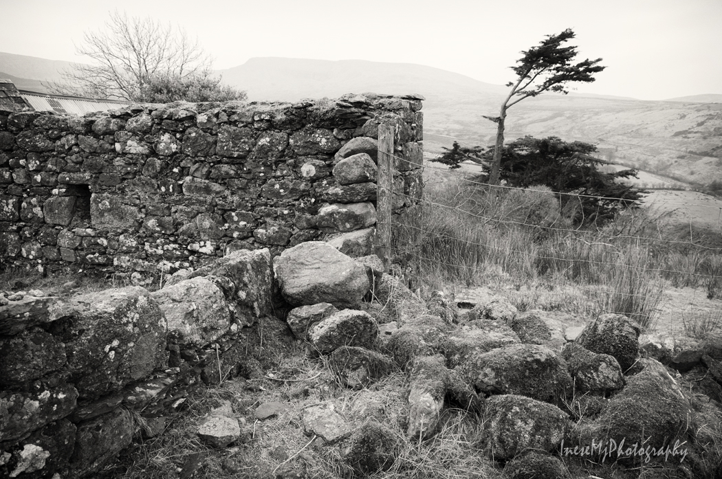
This one was taken on my way home after the second trip.

And this is the most famous rag tree that is guarding the Magic Road.

rag tree

If you are interested in climbing the Comeraghs,  read the De La Salle Scout group website.

Thank you for enjoying the magic of Mahon Falls with me. What do you think about the Magic Road and Fairy Power? 🙂

Here are links to my previous Comeragh blogs -1- , -2-  and  -3-

inesemjphotography  Have a wonderful weekend!

Nire Valley

In my second Comeragh post, I shared photographs of the road that crosses the mountains from Clonmel to Ballymacarbry. It is how we are going to drive ( or walk) to the Nire Valley.

I have never hiked in this area, but I know that there are several trails and loops, and beautiful lakes. An annual Nire Valley Walking Festival page might help you make your choice, and there is an information board at the car park from where I took most of pictures for this blog. Some of the trails start from the car park, but if you want to start with a hike to Coumfea and Coumalocha, and see a beautiful stream falling from the Coumfea Plateau,  you have to walk back to this gate and start from here.

nire valley

nire vlley

nire valley

In the picture below, car park is on your left, and several trails start here.  If you hike up the hill to the left, you will reach the south slope of beautiful Knockanaffrin ( the pyramid-shaped mountain in my previous post), and if you turn to the right, at least four spectacular glacial lakes – coums are waiting for you. These coums were formed during the Ice Age. I don’t know if I ever hike to see Nire lakes – the shortest trail will take 4-5 hours roundtrip, and I don’t know if I am ready for that, but you can visit Get Lost Mountaineering blog to have an idea. It features both ridges – Knockanaffrin and Coumfea.

nire valley

Curraghduff with Fauscoum in background. You don’t necessarily have to start your hike from the Nire Valley side to get here. There is a track that starts on the other side, over the Gap of the Knockanaffrin Ridge ( featured in my second Comeragh blog). All the trails vary from 5 to 25km. Some loops may require an overnight camping in the mountains. There are also cliffs and gullies for the experienced mountain climbers.

nire valley

Nire Valley photographs taken over the years.

nire valley

nire valley

feb22-085

nire valley

Nire Valley

Ruins of the old farm and spectacular stone wall attract photographers.

I am glad that you visited this beautiful part of Comeragh mountains. I know that I failed to take you to the Nire Lakes, but I have visited some other mountain lakes, and hope to share them with you in my future posts. This time we didn’t hike, but please be fit for the next weekend’s  two mile long round trip, some climbing, and magic 🙂

inesemjphotography Have a wonderful weekend!