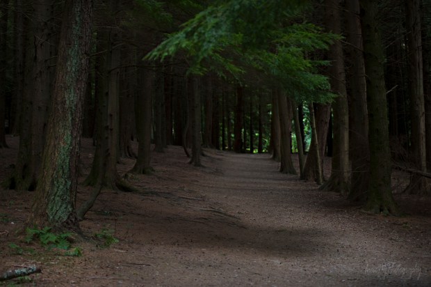
When you walk in an unfamiliar place in twilight hours and see a laminated sheet of paper pinned to the tree trunk, stop and read it – not just take a photo of it to read at home like I did on my first visit to Crough Wood. This might save you from trouble or perhaps unwanted ghost-sighting 😉
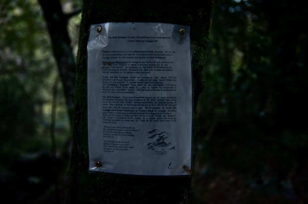
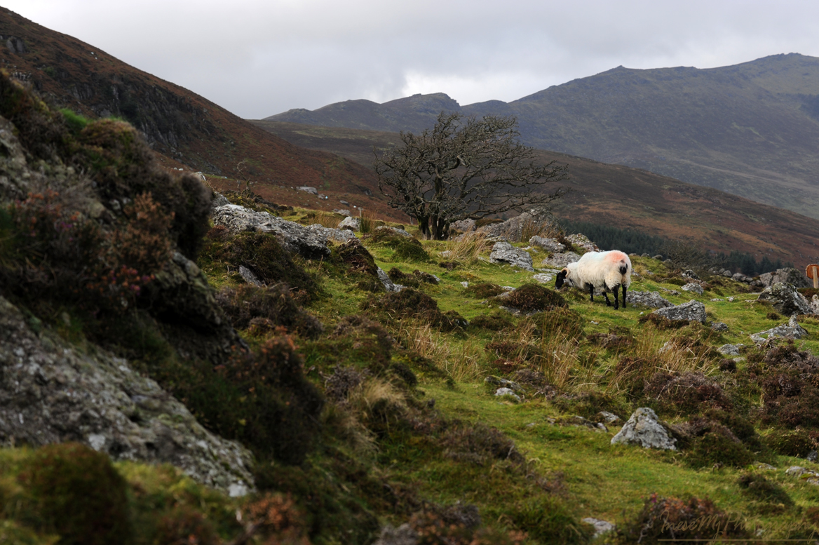
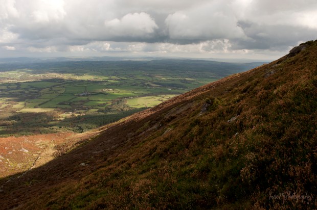
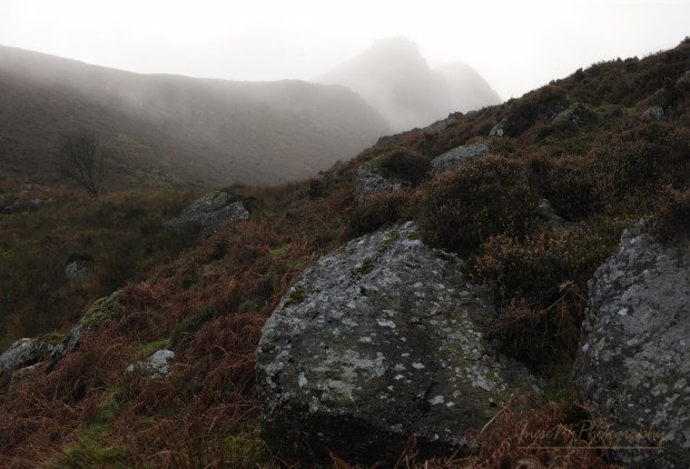
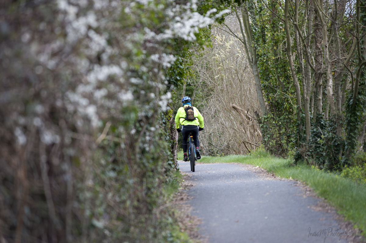
After carelessly taking the picture, I walked out of the wood with intention to follow the loop trail and return to the same spot. The view was familiar – I have never been in the Crough Wood before but walking along the Mahon River I knew that I saw the towering rocky walls of Coummahon filling the skyline. I reckoned it would take me less than an hour to return. As it was getting darker, I had to adjust my camera settings. No one was around as far as I could see, but it was hard to tell was it a good or a bad thing. I couldn’t help feeling a little wary, for no reason. Probably it was the mist that began to form in the valley…
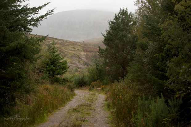

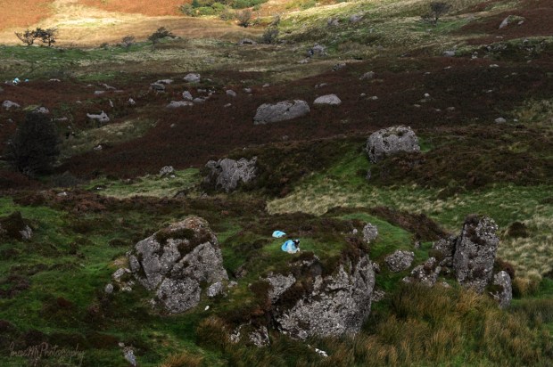
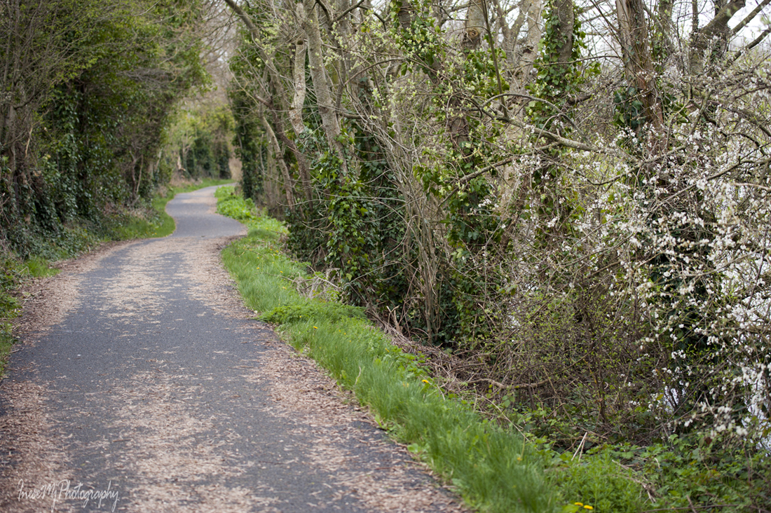
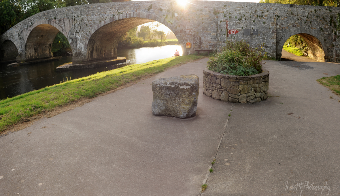
Everything went well, though. I hiked to the Magic Road, then to the Crough road and finally returned to the tree from which I started the hike. A little matter of walking to the car park through the dark woods along the loud river had to be addressed…
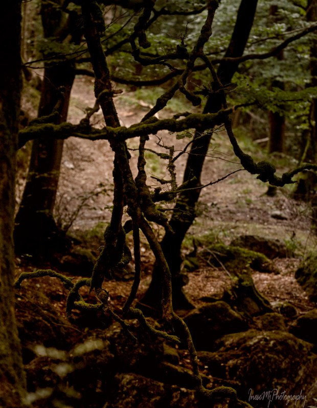
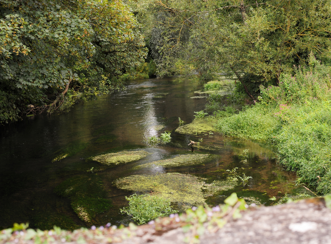
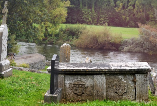
The river distracted me, and I took a few photos of the ghostly looking waterfalls. When I returned to the car park, there was no other car but mine.

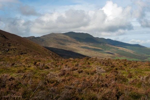
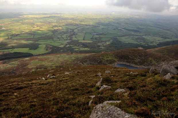
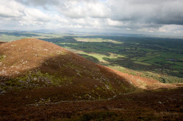
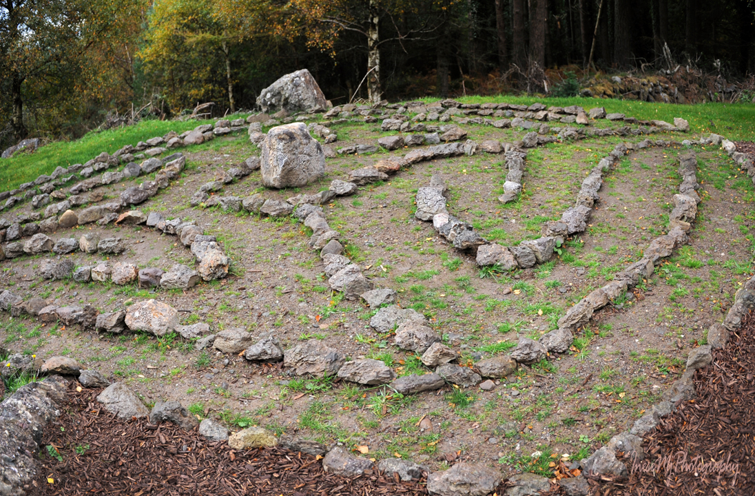
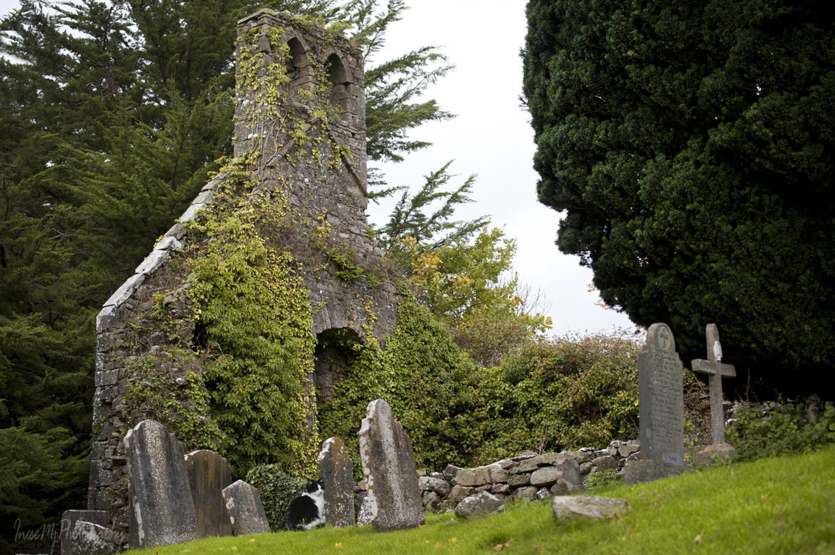
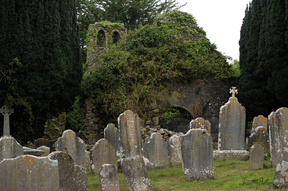
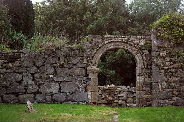
At home, I downloaded my photographs and finally read the laminated message. No way… I should have stayed on the trail longer! I did some research, compared the information, checked out the maps. I got hooked on the legend and decided to visit the eastern slopes of the Comeraghs again to write my own version of the story. First I went on a hike to Kilclooney Wood and Coumshingaun Lake.

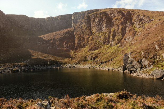
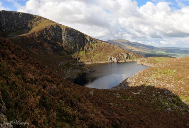
Then I hiked to Lough Coumgaurha. It is what the map says. I was there many years ago, and I sure knew the name by which the lake goes in these parts of the world. The Crotty’s Lake. Here is the
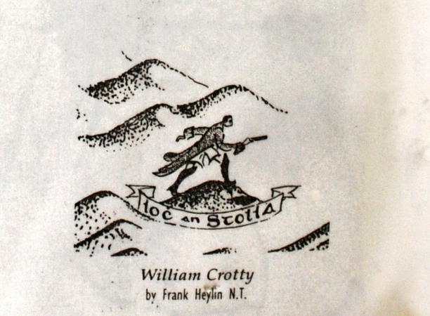
Story of Crotty The Robber

Waterford Quay was busy with the crowds heading to the gallows – near to where the present days Clock Tower is situated. This kind of entertainment stopped 30 years later when the executions were relocated to behind the prison walls, but in March 1742 the hanging and beheading of the notorious bandit William Crotty was a must to attend and discuss over a pint later.
His pregnant wife stood there and watched him die.
As if it wasn’t already enough to bear, she had to witness his head being displayed over the gateway of the county jail in Ballybricken as a warning to those wishing to follow in his footsteps.
“Crotty was decapitated, according to his sentence, and his head was placed on a spike over the gate of the county gaol, which was at a great thoroughfare, and often a resting-place for those who brought milk to the markets. In a few days the head became in a state of putrid solution, and began to distill drops of gore into the milk-cans, for some time before it was discovered, to the inexpressible disgust and horror of all who had been drinking the milk. The hair did not decay with the flesh – it grew on the bony cranium; and there for a long time the ghastly skull of this miscreant excited as much horror after his death as his cruel actions had during his life.”

Crotty’s loyal wife Mary was refused a funeral, and his body was taken away to the City Infirmary and given for dissection. Thus ended the earthly life of a “most desperate and indefatigable” robber, whose name was a “word of terror” to such extent that he was even suspected of cannibalism by some. The name survived though – in legends and landmarks.
♦
William Crotty was born in Russelstown, on the Western side of the Comeraghs, to a poor family evicted from their holding. Becoming an outlaw was not a surprising career choice for a young man in his situation. As it came out, he was well suited for the job – his operations extended to Kilkenny and Tipperary over the years. He skillfully avoided capture by shoeing his horses backward, and his knowledge of the mountains helped him disappear in thin air right in front of his pursuers.
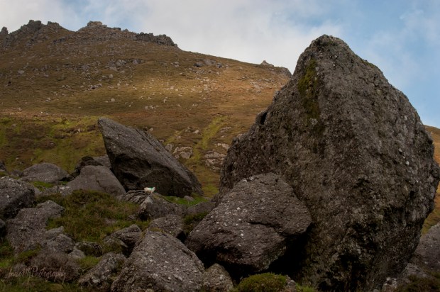
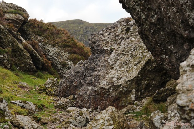
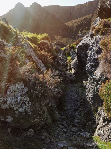
Crotty had a safe retreat – a deep underground cave near the foot of the rocky pinnacle at the Coumgaurha lake that could be accessed only by the means of a rope dropped down. He used another cave at Coumshingaun lake for the stolen livestock. His observation point – the Crotty’s Rock – commands the most expansive views of high roads from Dungarvan to Carrick and Tramore – no one would come close unnoticed. By 1739, Crotty had formed a small gang of accomplices. His operations flourished.
The legend says “he was the leader of a gang of highwaymen who stole from the rich to give to the poor, much in the same manner as Robin Hood”. It breaks my heart to tell you that it wasn’t the case.
I can picture that sad country and immensely poor people suffering consequences of British colonialism and religious defeat. My heart goes out to them. I can see how a daring young lad like William Crotty could have easily become a hero and brighten their day by sharing a shilling or a pint; mingling with them on a dance floor or a hurling field; hurting those who wronged them.

The gang was active for at least four years breaking in, murdering, stealing property. After they murdered George Williams, things went south very fast. Crotty’s most trusted companion and the mastermind behind most of their crimes Davey Norris realised that he would be better off giving evidence against his boss to authorities (who had already known about Crotty’s operations long ago). Then he would visit the cave and steal whatever was stashed there. Norris was illiterate and signed with a cross, but he sang like a canary selling Crotty and his other companions, and perhaps obtained pardon for his crimes as he was never arrested and eventually died in his bed. Some of his companions were hanged, like Crotty. Poor Thomas Mara was hanged after nine attempts. The rope got stuck.
Norris and his wife continued to inform authorities about Crotty’s activities and whereabouts. There are different versions of his capture, but the only fact matters: Crotty The Robber was betrayed by the man he trusted most.
They say Crotty’s wife, Mary, wrote this caoine after he was executed:
William Crotty I have often tould you,
That David Norris would come round you,
In your bed, when you lay sleeping,
And leave me here in sorrow weeping.
Och-hone, oh!
Oh, the judge but he was cruel,
Refused a long day to my jewel;
Sure I thought that you would, may be,
See the face of your poor baby,
Och-hone, oh!
Norris was afraid for his life. He filed sworn affidavit against Mary Crotty, and a large reward was offered for her apprehension. Determined not to be taken alive, the unfortunate woman threw herself down the Crotty’s Rock.
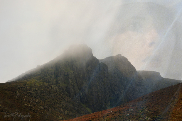
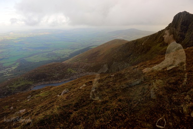
Mary has found peace, but William’s ghost now haunts the Comeragh Mountains. His ghost is known as Dark Stranger who “comes out of the mist, tall, dark clothed, moving purposefully, his footsteps making no sound.” The ghost can also be seen on a white horse. He would cross the Crough road and ride towards the Crotty’s Rock, Rathgormack and Carrignagower where his treasures lie hidden somewhere beneath a rock with a hoof mark.
Happy Halloween, my dear friends! Stay safe and enjoy this mysterious season. Because of the lockdown we won’t have a chance to visit the Crotty’s land at night, as I hoped we would.

Each location featured in this post will be presented as a separate hike in the nearest future. Have your boots and backpacks ready, my dear walking companions.
Meanwhile, you might also reread some of my previous Halloween stories:
Petticoat Loose, Beresford Ghost, Ghosts from the 1970’s and a grim Loftus Hall story.
 Have a fun weekend!


 Have a wonderful week!
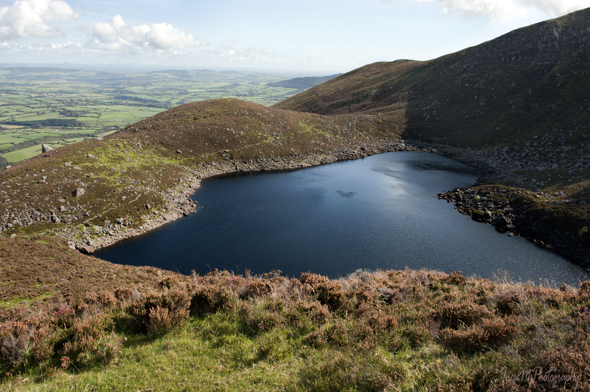


 Have a happy weekend!